322 Summit Ave Summit, NJ 07901
Estimated Value: $2,351,000 - $3,147,000
Studio
--
Bath
4,017
Sq Ft
$703/Sq Ft
Est. Value
About This Home
This home is located at 322 Summit Ave, Summit, NJ 07901 and is currently estimated at $2,825,748, approximately $703 per square foot. 322 Summit Ave is a home located in Union County with nearby schools including L C Johnson Summit Middle School, Summit Sr High School, and Kent Place School.
Ownership History
Date
Name
Owned For
Owner Type
Purchase Details
Closed on
Mar 20, 2023
Sold by
Massengill R Scott R and Massengill Linda
Bought by
Solomon David A and Kushner Carolyn J
Current Estimated Value
Home Financials for this Owner
Home Financials are based on the most recent Mortgage that was taken out on this home.
Original Mortgage
$1,875,750
Outstanding Balance
$1,816,862
Interest Rate
6.13%
Mortgage Type
New Conventional
Estimated Equity
$1,008,886
Purchase Details
Closed on
Jul 15, 2003
Sold by
Sheridan Anne
Bought by
Massengill R Scott and Massengill Linda Burdt
Home Financials for this Owner
Home Financials are based on the most recent Mortgage that was taken out on this home.
Original Mortgage
$750,000
Interest Rate
5.46%
Purchase Details
Closed on
Jul 1, 1998
Sold by
Wallburg Peter and Wallburg Catherine M
Bought by
Sheridan Anne E
Home Financials for this Owner
Home Financials are based on the most recent Mortgage that was taken out on this home.
Original Mortgage
$200,000
Interest Rate
7.02%
Create a Home Valuation Report for This Property
The Home Valuation Report is an in-depth analysis detailing your home's value as well as a comparison with similar homes in the area
Home Values in the Area
Average Home Value in this Area
Purchase History
| Date | Buyer | Sale Price | Title Company |
|---|---|---|---|
| Solomon David A | $2,501,000 | Chicago Title | |
| Solomon David A | $2,501,000 | Chicago Title | |
| Massengill R Scott | $1,525,000 | -- | |
| Sheridan Anne E | $735,000 | -- |
Source: Public Records
Mortgage History
| Date | Status | Borrower | Loan Amount |
|---|---|---|---|
| Open | Solomon David A | $1,875,750 | |
| Closed | Solomon David A | $1,875,750 | |
| Previous Owner | Massengill R Scott | $750,000 | |
| Previous Owner | Sheridan Anne E | $200,000 |
Source: Public Records
Tax History
| Year | Tax Paid | Tax Assessment Tax Assessment Total Assessment is a certain percentage of the fair market value that is determined by local assessors to be the total taxable value of land and additions on the property. | Land | Improvement |
|---|---|---|---|---|
| 2025 | $33,258 | $763,500 | $450,600 | $312,900 |
| 2024 | $33,037 | $763,500 | $450,600 | $312,900 |
| 2023 | $33,037 | $763,500 | $450,600 | $312,900 |
| 2022 | $32,960 | $763,500 | $450,600 | $312,900 |
| 2021 | $32,960 | $763,500 | $450,600 | $312,900 |
| 2020 | $33,289 | $763,500 | $450,600 | $312,900 |
| 2019 | $33,327 | $763,500 | $450,600 | $312,900 |
| 2018 | $33,113 | $763,500 | $450,600 | $312,900 |
| 2017 | $33,327 | $763,500 | $450,600 | $312,900 |
| 2016 | $32,838 | $763,500 | $450,600 | $312,900 |
| 2015 | $32,197 | $763,500 | $450,600 | $312,900 |
| 2014 | $31,365 | $763,500 | $450,600 | $312,900 |
Source: Public Records
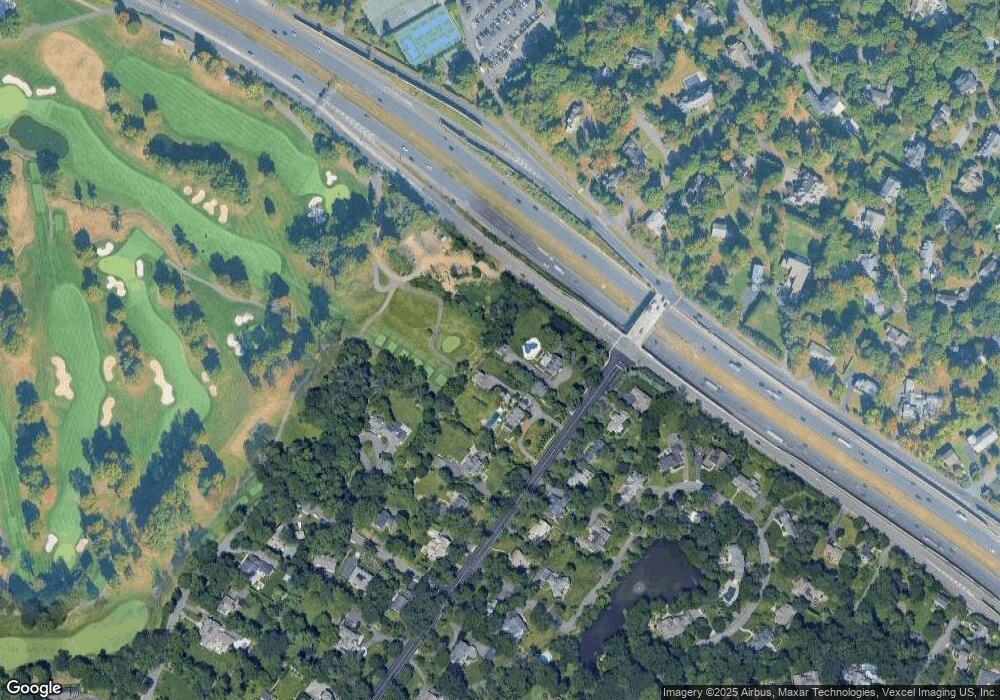
Map
Nearby Homes
- 149 Hillcrest Ave
- 55 Oxbow Ln
- 30 Colonial Way
- 60 Fernwood Rd
- 19 Shelley Rd
- 67 West Rd
- 26 Keats Rd
- 25 Dogwood Dr
- 22 Wordsworth Rd
- 5 Keats Rd
- 1 Euclid Ave Unit 3B
- 11 Euclid Ave Unit 4D
- 77 Falmouth St
- 23 Euclid Ave
- 14 Euclid Ave Unit 102
- 66 Canoe Brook Rd
- 236 White Oak Ridge Rd
- 133 Summit Ave Unit 16A
- 25 Bedford Rd
- 49 Norwood Ave
- 320 Summit Ave
- 316 Summit Ave Unit 14
- 316 Summit Ave Unit 5
- 316 Summit Ave
- 319 Summit Ave
- 317 Summit Ave
- 315 Summit Ave
- 313 Summit Ave
- 310 Summit Ave
- 311 Summit Ave
- 24 Woodmere Dr
- 28 Woodmere Dr
- 309 Summit Ave
- 20 Woodmere Dr
- 308 Summit Ave
- 14 Timber Acres Rd
- 30 Woodmere Dr
- 154 Bellevue Ave
- 307 Summit Ave
- 11 Timber Acres Rd
Your Personal Tour Guide
Ask me questions while you tour the home.