Estimated Value: $79,607 - $205,000
--
Bed
1
Bath
924
Sq Ft
$171/Sq Ft
Est. Value
About This Home
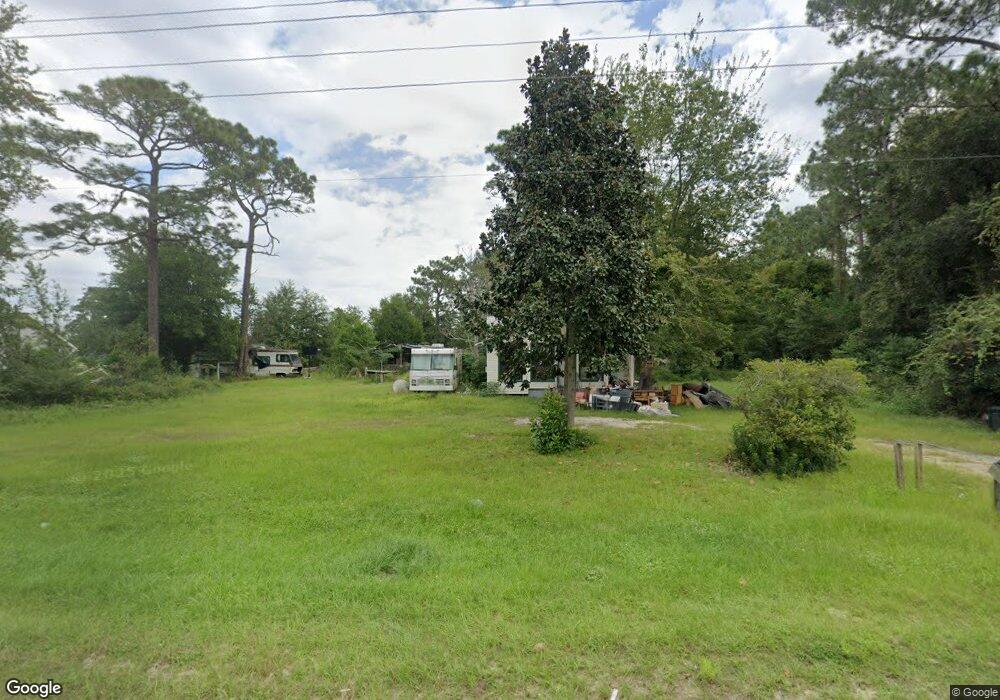
This home is located at 3220 Lanes Bridge Rd, Jesup, GA 31545 and is currently estimated at $157,652, approximately $170 per square foot. 3220 Lanes Bridge Rd is a home located in Wayne County with nearby schools including Bacon Elementary School, Martha Puckett Middle School, and Wayne County High School.
Ownership History
Date
Name
Owned For
Owner Type
Purchase Details
Closed on
Sep 1, 2003
Sold by
Tanner Belinda
Bought by
Crews Robert D
Current Estimated Value
Purchase Details
Closed on
Sep 1, 1998
Purchase Details
Closed on
Aug 1, 1993
Purchase Details
Closed on
Aug 1, 1992
Purchase Details
Closed on
Sep 1, 1991
Purchase Details
Closed on
May 1, 1991
Purchase Details
Closed on
Jul 1, 1987
Purchase Details
Closed on
Feb 1, 1983
Purchase Details
Closed on
May 1, 1979
Create a Home Valuation Report for This Property
The Home Valuation Report is an in-depth analysis detailing your home's value as well as a comparison with similar homes in the area
Home Values in the Area
Average Home Value in this Area
Purchase History
| Date | Buyer | Sale Price | Title Company |
|---|---|---|---|
| Crews Robert D | $20,000 | -- | |
| Tanner Belinda | -- | -- | |
| -- | $25,000 | -- | |
| -- | -- | -- | |
| -- | -- | -- | |
| -- | $25,500 | -- | |
| -- | $23,000 | -- | |
| -- | -- | -- | |
| -- | -- | -- | |
| -- | -- | -- |
Source: Public Records
Tax History Compared to Growth
Tax History
| Year | Tax Paid | Tax Assessment Tax Assessment Total Assessment is a certain percentage of the fair market value that is determined by local assessors to be the total taxable value of land and additions on the property. | Land | Improvement |
|---|---|---|---|---|
| 2024 | $192 | $20,729 | $2,240 | $18,489 |
| 2023 | $1,206 | $40,192 | $7,120 | $33,072 |
| 2022 | $1,265 | $40,192 | $7,120 | $33,072 |
| 2021 | $1,355 | $40,192 | $7,120 | $33,072 |
| 2020 | $1,228 | $40,192 | $7,120 | $33,072 |
| 2019 | $1,264 | $40,192 | $7,120 | $33,072 |
| 2018 | $200 | $16,138 | $4,140 | $11,998 |
| 2017 | $1,088 | $16,138 | $4,140 | $11,998 |
| 2016 | $133 | $16,138 | $4,140 | $11,998 |
| 2014 | $133 | $16,138 | $4,140 | $11,998 |
| 2013 | -- | $16,137 | $4,140 | $11,997 |
Source: Public Records
Map
Nearby Homes
- Lot 1,2,3 Rayonier Rd
- 143 Caleb Cir
- 556 Caleb Cir
- 95 Mayflower Rd
- 75 Woodlawn Dr
- 88 Caleb Cir
- 186 Community Cir
- 131 Mill Creek Ln
- 1 Palm Island Cir
- 0 Palm Island Cir
- 200 W Melody Dr
- 125 Pleasant Way
- 260 Pine Ridge Rd
- 0 Red Oak Dr Unit 160341
- 0 Red Oak Dr Unit SA331365
- 98 Saint Simons St
- 290 Yellow Pine Rd
- 96 Palm Tree Place
- 1275 Rayonier Rd
- 47 Yellow Pine Rd
- 22 Caleb Cir
- 3313 Lanes Bridge Rd
- 25 Treavor Cir
- 120 Caleb Cir
- 491 Caleb Cir
- 3217 Lanes Bridge Rd
- 115 Caleb Cir
- 146 Caleb Cir
- 42Acre Rayonier Rd
- 435 Caleb Cir
- 130 Red Hill Rd
- 462 Caleb Cir
- 394 Caleb Cir
- 463 Caleb Cir
- 209 Caleb Cir
- 331 Caleb Cir
- 405 Caleb Cir
- 3055 Lanes Bridge Rd
- 91 Red Hill Rd
- 152 Red Hill Rd