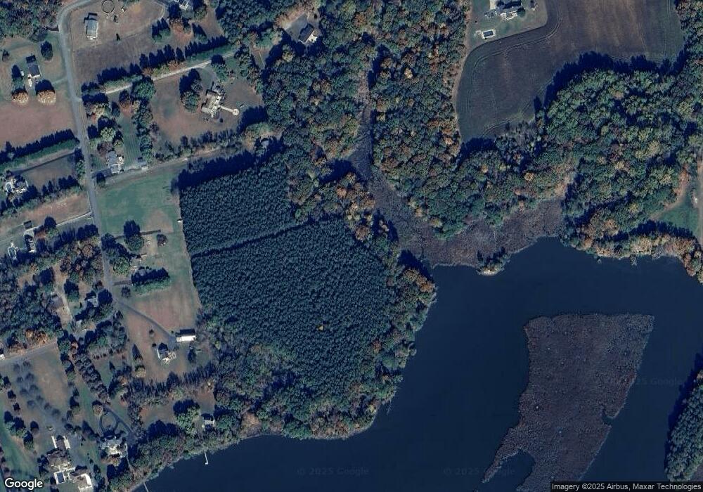
3220 Soper Rd Huntingtown, MD 20639
Estimated Value: $773,262 - $847,000
--
Bed
1
Bath
3,052
Sq Ft
$262/Sq Ft
Est. Value
About This Home
This home is located at 3220 Soper Rd, Huntingtown, MD 20639 and is currently estimated at $799,816, approximately $262 per square foot. 3220 Soper Rd is a home located in Calvert County with nearby schools including Huntingtown Elementary School, Plum Point Middle School, and Huntingtown High School.
Ownership History
Date
Name
Owned For
Owner Type
Purchase Details
Closed on
May 19, 2021
Sold by
Mason Renaldo D
Bought by
Mason Mary Beth
Current Estimated Value
Purchase Details
Closed on
Dec 31, 2012
Sold by
Calvert Llc
Bought by
Mason Renaldo D and Mason Marybeth
Home Financials for this Owner
Home Financials are based on the most recent Mortgage that was taken out on this home.
Original Mortgage
$572,265
Outstanding Balance
$397,711
Interest Rate
3.36%
Mortgage Type
VA
Estimated Equity
$402,105
Create a Home Valuation Report for This Property
The Home Valuation Report is an in-depth analysis detailing your home's value as well as a comparison with similar homes in the area
Home Values in the Area
Average Home Value in this Area
Purchase History
| Date | Buyer | Sale Price | Title Company |
|---|---|---|---|
| Mason Mary Beth | -- | Accommodation | |
| Mason Renaldo D | $553,984 | First Horizon Title Group Ll |
Source: Public Records
Mortgage History
| Date | Status | Borrower | Loan Amount |
|---|---|---|---|
| Open | Mason Renaldo D | $572,265 | |
| Closed | Mason Renaldo D | $572,265 |
Source: Public Records
Tax History Compared to Growth
Tax History
| Year | Tax Paid | Tax Assessment Tax Assessment Total Assessment is a certain percentage of the fair market value that is determined by local assessors to be the total taxable value of land and additions on the property. | Land | Improvement |
|---|---|---|---|---|
| 2025 | $6,001 | $589,733 | $0 | $0 |
| 2024 | $6,001 | $541,600 | $160,800 | $380,800 |
| 2023 | $5,665 | $530,367 | $0 | $0 |
| 2022 | $5,394 | $519,133 | $0 | $0 |
| 2021 | $5,319 | $507,900 | $160,800 | $347,100 |
| 2020 | $5,319 | $495,633 | $0 | $0 |
| 2019 | $5,213 | $483,367 | $0 | $0 |
| 2018 | $5,071 | $471,100 | $160,800 | $310,300 |
| 2017 | $5,139 | $471,100 | $0 | $0 |
| 2016 | -- | $471,100 | $0 | $0 |
| 2015 | $674 | $472,700 | $0 | $0 |
| 2014 | $674 | $472,700 | $0 | $0 |
Source: Public Records
Map
Nearby Homes
- 1955 Lowery Rd
- 1960 Old Anchor Rd
- 1610 Twirly Ct
- 3010 New Enterprise Ct
- 23400 Patuxent Blvd
- 0 Patuxent Blvd
- 23608 Hawkins Dr
- 2521 Huntingfields Dr
- 1950 Quiet Meadows Ct
- 22908 Paul Dunbar Ave
- 23404 Wilson Dr
- 22900 Benjamin Banneker Blvd
- 18301 Elm Trail
- 23133 Benjamin Banneker Blvd
- 23116 Frederick Douglas Ave
- 23104 Frederick Douglas Ave
- 0 Charles Young Ave
- 22815 Booker Washington Ave
- 3360 Ben Oak Dr
- 0 John Langston Ave Unit MDPG2166912
