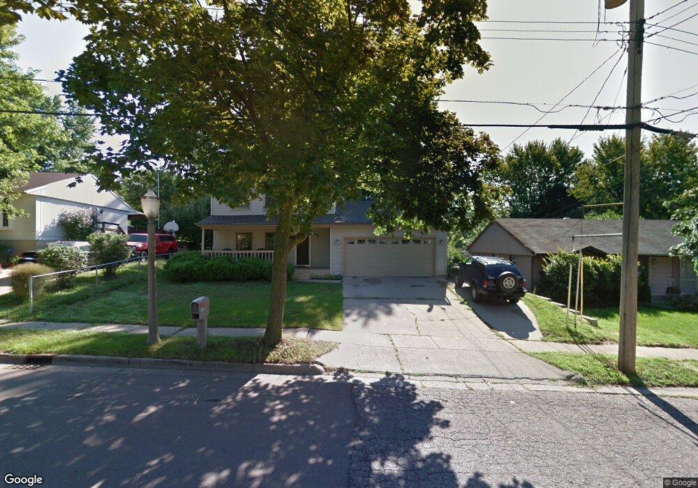
3220 Walker Rd Lansing, MI 48906
Creston NeighborhoodEstimated Value: $171,000 - $195,000
Studio
1
Bath
1,361
Sq Ft
$134/Sq Ft
Est. Value
About This Home
This home is located at 3220 Walker Rd, Lansing, MI 48906 and is currently estimated at $181,879, approximately $133 per square foot. 3220 Walker Rd is a home located in Ingham County with nearby schools including Gier Park School, Pattengill Academy, and Eastern High School.
Ownership History
Date
Name
Owned For
Owner Type
Purchase Details
Closed on
Dec 29, 2004
Sold by
Marshall Lonnie and Marshall Janice
Bought by
Cannarile Roger A and Cannarile Jodi L
Current Estimated Value
Home Financials for this Owner
Home Financials are based on the most recent Mortgage that was taken out on this home.
Original Mortgage
$115,900
Outstanding Balance
$59,096
Interest Rate
5.9%
Mortgage Type
Purchase Money Mortgage
Estimated Equity
$122,783
Create a Home Valuation Report for This Property
The Home Valuation Report is an in-depth analysis detailing your home's value as well as a comparison with similar homes in the area
Home Values in the Area
Average Home Value in this Area
Purchase History
| Date | Buyer | Sale Price | Title Company |
|---|---|---|---|
| Cannarile Roger A | $122,000 | Transnation Title |
Source: Public Records
Mortgage History
| Date | Status | Borrower | Loan Amount |
|---|---|---|---|
| Open | Cannarile Roger A | $115,900 |
Source: Public Records
Tax History
| Year | Tax Paid | Tax Assessment Tax Assessment Total Assessment is a certain percentage of the fair market value that is determined by local assessors to be the total taxable value of land and additions on the property. | Land | Improvement |
|---|---|---|---|---|
| 2025 | $3,260 | $84,200 | $8,800 | $75,400 |
| 2024 | $3,056 | $75,700 | $8,800 | $66,900 |
| 2023 | $3,056 | $75,400 | $8,800 | $66,600 |
| 2022 | $2,755 | $67,500 | $7,900 | $59,600 |
| 2021 | $2,697 | $67,700 | $7,700 | $60,000 |
| 2020 | $2,681 | $58,200 | $7,700 | $50,500 |
| 2019 | $2,570 | $50,900 | $7,700 | $43,200 |
| 2018 | $2,408 | $44,400 | $7,700 | $36,700 |
| 2017 | $2,306 | $44,400 | $7,700 | $36,700 |
| 2016 | $2,205 | $43,700 | $7,700 | $36,000 |
| 2015 | $2,205 | $41,200 | $15,414 | $25,786 |
| 2014 | $2,205 | $39,200 | $19,968 | $19,232 |
Source: Public Records
Map
Nearby Homes
- 2701 Creston Ave
- 2610 Gary Ave
- 310 W Frederick Ave
- 3425 Turner Rd
- 816 Orchard Glen Ave
- 504 W Fairfield Ave
- 152 Donald Ave Unit 152
- 134 Desander Dr Unit 134
- 213 E Thomas St
- 2403 Turner St
- 205 E Thomas St
- 93 Nettie Ave Unit 93
- 92 Nettie Ave Unit 92
- 86 Nettie Ave Unit 86
- 61 Beejay Dr
- 82 Nettie Ave Unit 82
- 627 W Frederick Ave
- 27 Beejay Dr Unit 27
- 840 E Harris St
- 200 Mosley Ave
- 3214 Walker Rd
- 3214 Walker St
- 3226 Walker Rd
- 311 Community St
- 3232 Walker Rd
- 305 Community St
- 3221 Schultz St
- 3215 Schultz St
- 319 Community St
- 3233 Schultz St
- 207 Lynwood Cir
- 206 Lynwood Cir
- 3207 Walker St
- 3300 Walker St
- 3231 Walker Rd
- 3300 Walker Rd
- 3207 Walker Rd
- 325 Community St
- 206 Hi Mount Cir
- 3201 Walker Rd
Your Personal Tour Guide
Ask me questions while you tour the home.