32215 Highway K30 Maple Hill, KS 66507
Estimated Value: $319,000 - $432,942
4
Beds
4
Baths
3,386
Sq Ft
$110/Sq Ft
Est. Value
About This Home
This home is located at 32215 Highway K30, Maple Hill, KS 66507 and is currently estimated at $371,314, approximately $109 per square foot. 32215 Highway K30 is a home located in Wabaunsee County with nearby schools including Wabaunsee Senior High School.
Ownership History
Date
Name
Owned For
Owner Type
Purchase Details
Closed on
Nov 1, 2010
Sold by
Stumpf Roger A and Stumpf Kimberly D
Bought by
Michaelis Clint J and Michaelis Jessica R
Current Estimated Value
Home Financials for this Owner
Home Financials are based on the most recent Mortgage that was taken out on this home.
Original Mortgage
$181,600
Outstanding Balance
$120,365
Interest Rate
4.36%
Mortgage Type
New Conventional
Estimated Equity
$250,949
Create a Home Valuation Report for This Property
The Home Valuation Report is an in-depth analysis detailing your home's value as well as a comparison with similar homes in the area
Purchase History
We collect this data history from publicly available records. To have your information removed, we recommend requesting removal directly through your county’s website.
| Date | Buyer | Sale Price | Title Company |
|---|---|---|---|
| Michaelis Clint J | $227,000 | First American Title |
Source: Public Records
Mortgage History
We collect this data history from publicly available records. To have your information removed, we recommend requesting removal directly through your county’s website.
| Date | Status | Borrower | Loan Amount |
|---|---|---|---|
| Open | Michaelis Clint J | $181,600 |
Source: Public Records
Tax History
| Year | Tax Paid | Tax Assessment Tax Assessment Total Assessment is a certain percentage of the fair market value that is determined by local assessors to be the total taxable value of land and additions on the property. | Land | Improvement |
|---|---|---|---|---|
| 2025 | $4,009 | $34,051 | $2,393 | $31,658 |
| 2024 | -- | $32,267 | $2,209 | $30,058 |
| 2023 | -- | $30,497 | $2,061 | $28,436 |
| 2022 | -- | $27,302 | $1,582 | $25,720 |
| 2020 | $1,011 | $25,335 | $1,226 | $24,109 |
Source: Public Records
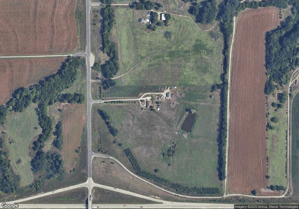
Map
Nearby Homes
- 1977 (1947) NW Carlson Rd
- 0000 SE Snokomo Frontage Rd
- 910 NW West Union Rd
- 0000 SW West Union Rd
- 611 Pearl St
- 218 E Perry St
- 594 Griswold St
- 506 Kennys Ct
- 22241 Lewis Blvd
- 110 Pearl St
- 3544 NW Davis Rd
- Lot 2, Blk B SW 17th St
- 0000 SW 13th St
- Lot 3, Blk A SW Urish Rd
- 00000 Coyote Rd
- 6530 NW Rossville Rd
- 32829 E Springcreek Rd
- 23586 Kansas 4
- 210 S 6th St
- 300 W Durink St
- 32255 Highway K30
- 32071 Highway K30
- K30 Highway
- 0000 SW Windy Hill Rd
- 13485 Westbound K4 Hwy
- 32136 Keene Eskridge Rd
- 32136 Keene-Eskridge Rd
- 14556 Waterman Crossing Rd
- 32168 Keene Eskridge Rd
- 32168 Keene Eskridge Rd
- 33058 Waterman Crossing Rd
- 33170 Highway K30
- 33041 Waterman Crossing Rd
- 14611 Waterman Crossing Rd
- 32306A Highway K30
- 33144 Waterman Crossing Rd
- 32071B Highway K30
Your Personal Tour Guide
Ask me questions while you tour the home.