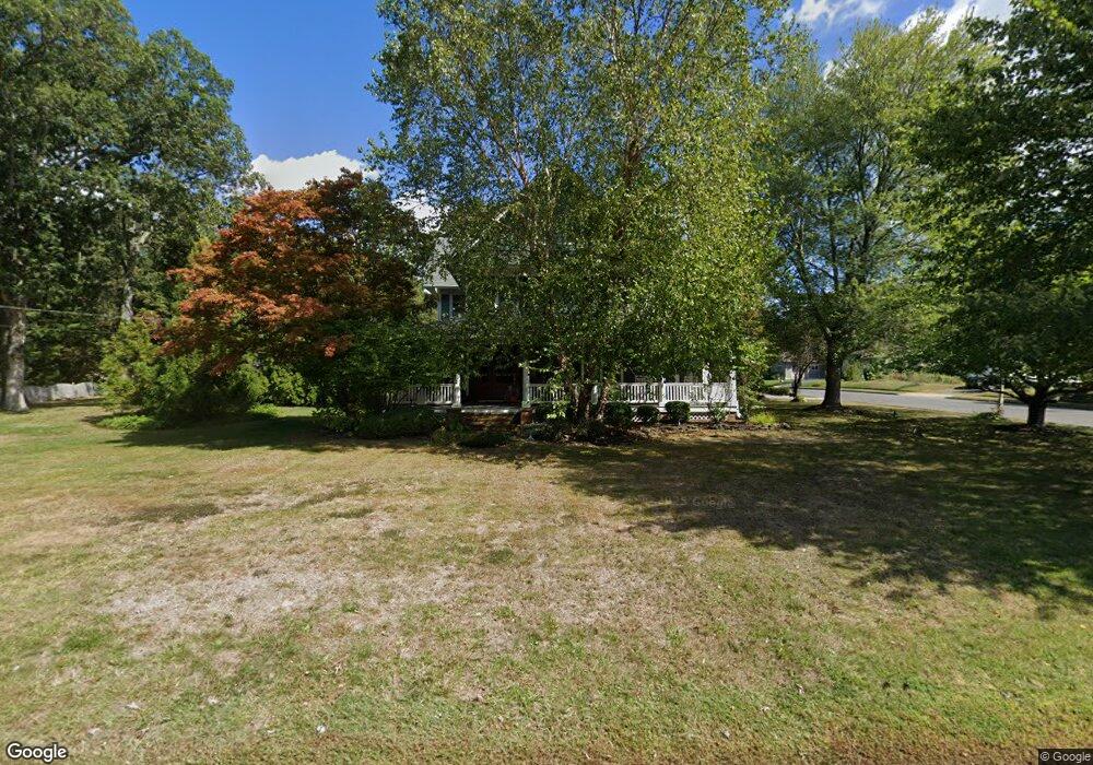
3222 Atlantic Ave Allenwood, NJ 08720
Estimated Value: $988,622 - $1,348,000
--
Bed
2
Baths
2,849
Sq Ft
$392/Sq Ft
Est. Value
About This Home
This home is located at 3222 Atlantic Ave, Allenwood, NJ 08720 and is currently estimated at $1,117,656, approximately $392 per square foot. 3222 Atlantic Ave is a home located in Monmouth County with nearby schools including Wall High School and The Brookside School.
Ownership History
Date
Name
Owned For
Owner Type
Purchase Details
Closed on
Sep 28, 2018
Sold by
Maas Henry Joseph and Maas Wendy H
Bought by
Evangeliou Kiriakos and Evangeliou Jennifer
Current Estimated Value
Home Financials for this Owner
Home Financials are based on the most recent Mortgage that was taken out on this home.
Original Mortgage
$510,000
Outstanding Balance
$444,750
Interest Rate
4.5%
Mortgage Type
New Conventional
Estimated Equity
$672,906
Create a Home Valuation Report for This Property
The Home Valuation Report is an in-depth analysis detailing your home's value as well as a comparison with similar homes in the area
Home Values in the Area
Average Home Value in this Area
Purchase History
| Date | Buyer | Sale Price | Title Company |
|---|---|---|---|
| Evangeliou Kiriakos | $755,000 | Trident Abstract Title Agenc |
Source: Public Records
Mortgage History
| Date | Status | Borrower | Loan Amount |
|---|---|---|---|
| Open | Evangeliou Kiriakos | $510,000 |
Source: Public Records
Tax History Compared to Growth
Tax History
| Year | Tax Paid | Tax Assessment Tax Assessment Total Assessment is a certain percentage of the fair market value that is determined by local assessors to be the total taxable value of land and additions on the property. | Land | Improvement |
|---|---|---|---|---|
| 2025 | $11,565 | $548,100 | $246,800 | $301,300 |
| 2024 | $11,220 | $548,100 | $246,800 | $301,300 |
| 2023 | $11,220 | $548,100 | $246,800 | $301,300 |
| 2022 | $10,946 | $548,100 | $246,800 | $301,300 |
| 2021 | $10,946 | $548,100 | $246,800 | $301,300 |
| 2020 | $10,814 | $548,100 | $246,800 | $301,300 |
| 2019 | $10,682 | $548,100 | $246,800 | $301,300 |
| 2018 | $10,589 | $548,100 | $246,800 | $301,300 |
| 2017 | $10,381 | $548,100 | $246,800 | $301,300 |
| 2016 | $10,162 | $548,100 | $246,800 | $301,300 |
| 2015 | $11,257 | $381,600 | $155,500 | $226,100 |
| 2014 | $11,357 | $393,800 | $167,700 | $226,100 |
Source: Public Records
Map
Nearby Homes
- 2100 Princeton Ct
- 2262 Allenwood Rd
- 3118 Atlantic Ave
- 2113 First Ave
- 3228 Allaire Rd
- 3404 Sandpiper Way
- 2227 Christopher Way
- 1807 Bridlemere Ave
- 1980 Campbell Rd
- 2101 Friar Ct
- 2148 Allenwood Rd
- 2338 Ramshorn Dr
- 1919 Atlantic Ave Unit 15
- 1919 Atlantic Ave Unit 26
- 1908 Sherwood Dr
- 814 Bristol Ln
- 737 Paramount Way
- 2808 Concord Dr
- 1412 Winesap Dr
- 2127 Allenwood Rd
- 3226 Atlantic Ave
- 2113 Princeton Ct
- 3218 Atlantic Ave
- 3228 Atlantic Ave
- 2111 Princeton Ct
- 2112 Princeton Ct
- 3227 Atlantic Ave
- 3216 Atlantic Ave
- 2110 Princeton Ct
- 3217 Atlantic Ave
- 2109 Princeton Ct
- 3231 Rambling Hill Ct
- 2110 Westside Dr
- 3233 Rambling Hill Ct
- 2113 Red Gate Rd
- 2108 Princeton Ct
- 3232 Atlantic Ave
- 3230 Atlantic Ave
- 2107 Princeton Ct
- 3235 Rambling Hill Ct