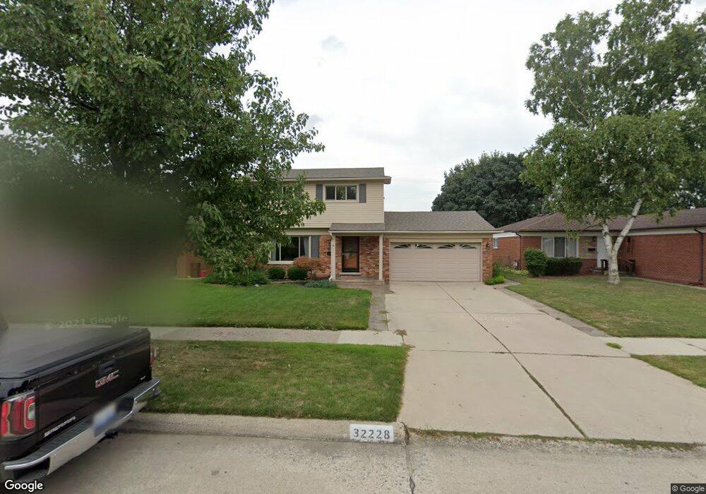
32228 Parker Cir Unit Bldg-Unit Warren, MI 48088
Northeast Warren NeighborhoodEstimated Value: $284,236 - $320,000
3
Beds
2
Baths
1,726
Sq Ft
$174/Sq Ft
Est. Value
About This Home
This home is located at 32228 Parker Cir Unit Bldg-Unit, Warren, MI 48088 and is currently estimated at $300,309, approximately $173 per square foot. 32228 Parker Cir Unit Bldg-Unit is a home located in Macomb County with nearby schools including Wilde Elementary School, Carter Middle School, and Paul K. Cousino High School.
Ownership History
Date
Name
Owned For
Owner Type
Purchase Details
Closed on
Mar 13, 2018
Sold by
Brandt Bryan
Bought by
Brandt Bryan and Brandt Mary Alicia
Current Estimated Value
Home Financials for this Owner
Home Financials are based on the most recent Mortgage that was taken out on this home.
Original Mortgage
$156,000
Outstanding Balance
$90,675
Interest Rate
4.38%
Mortgage Type
New Conventional
Estimated Equity
$209,634
Create a Home Valuation Report for This Property
The Home Valuation Report is an in-depth analysis detailing your home's value as well as a comparison with similar homes in the area
Home Values in the Area
Average Home Value in this Area
Purchase History
| Date | Buyer | Sale Price | Title Company |
|---|---|---|---|
| Brandt Bryan | -- | None Available | |
| Brandt Bryan | $195,000 | None Available |
Source: Public Records
Mortgage History
| Date | Status | Borrower | Loan Amount |
|---|---|---|---|
| Open | Brandt Bryan | $156,000 |
Source: Public Records
Tax History Compared to Growth
Tax History
| Year | Tax Paid | Tax Assessment Tax Assessment Total Assessment is a certain percentage of the fair market value that is determined by local assessors to be the total taxable value of land and additions on the property. | Land | Improvement |
|---|---|---|---|---|
| 2025 | $5,246 | $130,960 | $0 | $0 |
| 2024 | $5,097 | $127,430 | $0 | $0 |
| 2023 | $4,831 | $121,410 | $0 | $0 |
| 2022 | $4,668 | $106,870 | $0 | $0 |
| 2021 | $4,750 | $99,130 | $0 | $0 |
| 2020 | $4,580 | $88,840 | $0 | $0 |
| 2019 | $4,416 | $83,040 | $0 | $0 |
| 2018 | $2,590 | $63,490 | $0 | $0 |
| 2017 | $2,557 | $60,350 | $9,660 | $50,690 |
| 2016 | $2,554 | $60,350 | $0 | $0 |
| 2015 | -- | $52,130 | $0 | $0 |
| 2013 | $4,793 | $43,930 | $0 | $0 |
Source: Public Records
Map
Nearby Homes
- 14646 Murthum Ave
- 14717 Colpaert Dr
- 32334 Gloede Dr
- 31707 Gloede Dr
- 32717 Beechwood Dr
- 14514 Peck Dr
- 13842 Jenny Dr
- 13863 Colpaert Dr
- 13738 Jenny Dr
- 31341 Hayes Rd
- 31263 Hayes Rd
- 33042 Mccoy Dr
- 33076 Mccoy Dr
- 33333 Groth Dr
- 31070 Hayes Rd
- 15621 Lauren
- 15668 Masonic
- 33555 Groth Dr
- 33511 Swan Dr
- 32828 Eiffel Ave
- 32228 Parker Cir
- 32240 Parker Cir
- 32214 Parker Cir
- 32168 Parker Cir
- 32203 Columbus Dr
- 32155 Columbus Dr
- 32215 Columbus Dr
- 32146 Parker Cir
- 32264 Parker Cir
- 32227 Columbus Dr
- 32227 Parker Cir
- 32239 Parker Cir
- 32215 Parker Cir
- 32239 Columbus Dr
- 32143 Columbus Dr
- 32134 Parker Cir
- 32251 Parker Cir
- 32302 Parker Cir
- 32203 Parker Cir
- 32263 Parker Cir