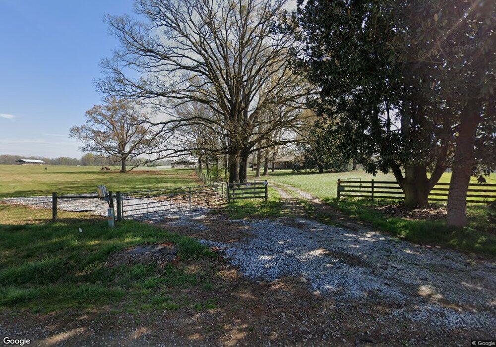
3223 Cole Rd Carnesville, GA 30521
Estimated Value: $324,000 - $1,212,000
3
Beds
2
Baths
2,150
Sq Ft
$413/Sq Ft
Est. Value
About This Home
This home is located at 3223 Cole Rd, Carnesville, GA 30521 and is currently estimated at $888,305, approximately $413 per square foot. 3223 Cole Rd is a home located in Franklin County with nearby schools including Franklin County High School.
Ownership History
Date
Name
Owned For
Owner Type
Purchase Details
Closed on
Apr 25, 2018
Sold by
Spivey Robin
Bought by
Goolsby Carl
Current Estimated Value
Purchase Details
Closed on
Nov 25, 2015
Sold by
Fritsch Josephine D
Bought by
Goolsby Carl and Robin Spivey V
Home Financials for this Owner
Home Financials are based on the most recent Mortgage that was taken out on this home.
Original Mortgage
$375,600
Interest Rate
3.83%
Mortgage Type
New Conventional
Purchase Details
Closed on
Aug 31, 1981
Bought by
Fritsch William A
Create a Home Valuation Report for This Property
The Home Valuation Report is an in-depth analysis detailing your home's value as well as a comparison with similar homes in the area
Purchase History
| Date | Buyer | Sale Price | Title Company |
|---|---|---|---|
| Goolsby Carl | -- | -- | |
| Goolsby Carl | $500,800 | -- | |
| Fritsch William A | $100,000 | -- |
Source: Public Records
Mortgage History
| Date | Status | Borrower | Loan Amount |
|---|---|---|---|
| Previous Owner | Goolsby Carl | $375,600 |
Source: Public Records
Tax History
| Year | Tax Paid | Tax Assessment Tax Assessment Total Assessment is a certain percentage of the fair market value that is determined by local assessors to be the total taxable value of land and additions on the property. | Land | Improvement |
|---|---|---|---|---|
| 2025 | $3,824 | $501,578 | $405,733 | $95,845 |
| 2024 | $3,657 | $426,890 | $340,983 | $85,907 |
| 2023 | $3,715 | $388,338 | $309,977 | $78,361 |
| 2022 | $3,476 | $312,029 | $240,513 | $71,516 |
| 2021 | $3,432 | $303,809 | $240,513 | $63,296 |
| 2020 | $3,113 | $252,970 | $200,428 | $52,542 |
| 2019 | $2,880 | $252,798 | $201,118 | $51,680 |
| 2018 | $2,633 | $212,144 | $168,055 | $44,089 |
| 2017 | $2,495 | $205,036 | $168,055 | $36,981 |
| 2016 | $2,424 | $200,287 | $168,055 | $32,232 |
| 2015 | -- | $200,287 | $168,055 | $32,232 |
| 2014 | -- | $192,890 | $168,055 | $24,835 |
| 2013 | -- | $192,890 | $168,055 | $24,834 |
Source: Public Records
Map
Nearby Homes
- 4308 Athens Rd
- 6050 Sandy Cross Rd
- 9 Dons Ct
- 31 Dons Ct
- 0 Nails Creek Crossing Unit 7703368
- 0 Nails Creek Crossing Unit 10584678
- 8065 Sandy Cross Rd
- 41 Manley Terrace
- 1000 Nails Creek Crossing
- 1291 Brays Lake Rd
- 533 Pearwood Rd
- 7660 Sandy Cross Rd
- 2695 Brays Lake Rd
- 8750 Sandy Cross Rd
- 3171 Bold Springs Rd
- 1898 Sandy Cross Rd
- 5177 Sandy Cross Rd
- HWY 51 Owl Hollow Rd
- 318 Jim Grizzle Rd
- 352 Jim Grizzle Rd
- 704 Neal Little Rd
- 5355 Sandy Cross Rd
- 5525 Sandy Cross Rd
- 300 Neal Little Rd
- 234 Neal Little Rd
- 270 Neal Little Rd
- 5221 Highway 51 Rd
- 1280 Neal Little Rd
- 5799 Sandy Cross Rd
- 5172 Sandy Cross Rd Unit 11
- 2794 Cole Rd
- 5140 Sandy Cross Rd Unit 10
- 2791 Cole Rd
- 2629 Cole Rd
- 2627 Cole Rd
- 5480 Sandy Cross Rd
- 3701 Athens Rd
- 2625 Cole Rd
- 1490 Neal Little Rd
- 2587 Cole Rd
