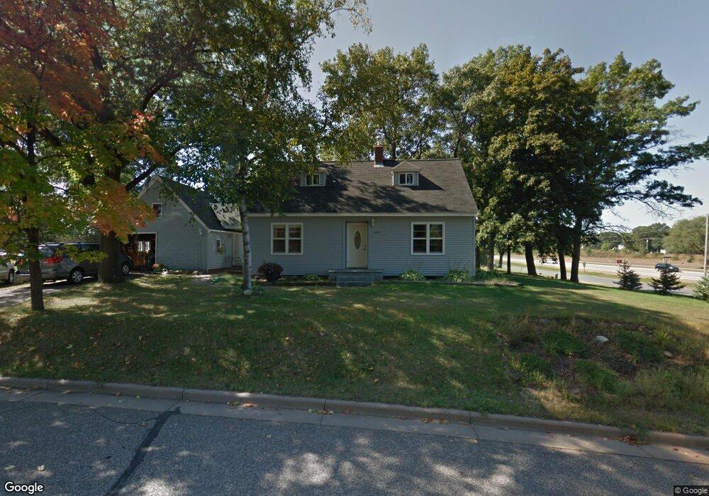
3223 Delbert Rd Eau Claire, WI 54703
Pinehurst NeighborhoodEstimated Value: $242,000 - $317,000
Studio
1
Bath
--
Sq Ft
17,424
Sq Ft
About This Home
This home is located at 3223 Delbert Rd, Eau Claire, WI 54703 and is currently estimated at $267,681. 3223 Delbert Rd is a home located in Chippewa County with nearby schools including Locust Lane Elementary School, Northstar Middle School, and North High School.
Ownership History
Date
Name
Owned For
Owner Type
Purchase Details
Closed on
Jun 27, 2014
Sold by
Ruffi Scott A and Ruffi Lucinda M
Bought by
Bruschuk Spartacus I and Tankersley Shavanna R
Current Estimated Value
Home Financials for this Owner
Home Financials are based on the most recent Mortgage that was taken out on this home.
Original Mortgage
$117,826
Outstanding Balance
$87,697
Interest Rate
3.95%
Mortgage Type
FHA
Estimated Equity
$179,984
Create a Home Valuation Report for This Property
The Home Valuation Report is an in-depth analysis detailing your home's value as well as a comparison with similar homes in the area
Home Values in the Area
Average Home Value in this Area
Purchase History
| Date | Buyer | Sale Price | Title Company |
|---|---|---|---|
| Bruschuk Spartacus I | $118,500 | None Available |
Source: Public Records
Mortgage History
| Date | Status | Borrower | Loan Amount |
|---|---|---|---|
| Open | Bruschuk Spartacus I | $117,826 |
Source: Public Records
Tax History
| Year | Tax Paid | Tax Assessment Tax Assessment Total Assessment is a certain percentage of the fair market value that is determined by local assessors to be the total taxable value of land and additions on the property. | Land | Improvement |
|---|---|---|---|---|
| 2025 | $3,204 | $175,100 | $24,400 | $150,700 |
| 2024 | $2,682 | $175,100 | $24,400 | $150,700 |
| 2023 | $3,236 | $175,100 | $24,400 | $150,700 |
| 2022 | $2,791 | $175,100 | $24,400 | $150,700 |
| 2021 | $2,528 | $175,100 | $24,400 | $150,700 |
| 2020 | $2,258 | $126,800 | $26,200 | $100,600 |
| 2019 | $2,155 | $126,800 | $26,200 | $100,600 |
| 2018 | $2,289 | $126,800 | $26,200 | $100,600 |
| 2017 | $2,384 | $113,800 | $22,600 | $91,200 |
| 2016 | $2,373 | $113,800 | $22,600 | $91,200 |
| 2015 | $2,291 | $113,800 | $22,600 | $91,200 |
| 2014 | $2,109 | $102,000 | $22,600 | $79,400 |
Source: Public Records
Map
Nearby Homes
- 3233 Potter Rd
- 3145 Fern Ct
- 3232 Lotus St
- 3319 Eastlawn St
- 4947 Woodlands Dr
- 4919 Woodlands Dr
- 3231 Oakland St
- 3521 Leslie Ln
- 2935 Boston Dr
- 2915 E Princeton Ave
- 2903 E Princeton Ave
- 4226 Bennington Ct
- 2827 E Princeton Ave
- 2839 E Princeton Ave
- 2833 E Princeton Ave
- 4232 Bennington Ct
- 4216 Heritage Dr
- 2603 E Princeton Ave
- 4337 Heritage Dr
- 4301 Heritage Dr
Your Personal Tour Guide
Ask me questions while you tour the home.