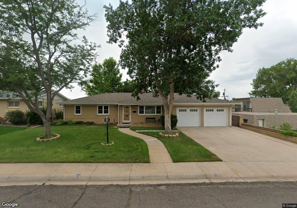
3223 Fir Dr Cheyenne, WY 82001
Mountview Park NeighborhoodEstimated Value: $336,000 - $461,000
--
Bed
1
Bath
1,604
Sq Ft
$251/Sq Ft
Est. Value
About This Home
This home is located at 3223 Fir Dr, Cheyenne, WY 82001 and is currently estimated at $402,211, approximately $250 per square foot. 3223 Fir Dr is a home located in Laramie County with nearby schools including Henderson Elementary School, Carey Junior High School, and East High School.
Ownership History
Date
Name
Owned For
Owner Type
Purchase Details
Closed on
Jun 29, 2018
Sold by
Wyoming Bank & Trust Of Cheyenne
Bought by
Irwin Carla
Current Estimated Value
Purchase Details
Closed on
Apr 17, 2018
Sold by
Roeseler Thomas
Bought by
The Roeseler Family Trust
Purchase Details
Closed on
Jan 13, 2016
Sold by
Bank Of The West
Bought by
Callahan Abbie L and Roeseler Thomas
Purchase Details
Closed on
Sep 9, 2013
Sold by
Roeseler Thomas J and Reed Frederic C
Bought by
Roeseler Thomas J and Roeseler Family Trust
Create a Home Valuation Report for This Property
The Home Valuation Report is an in-depth analysis detailing your home's value as well as a comparison with similar homes in the area
Home Values in the Area
Average Home Value in this Area
Purchase History
| Date | Buyer | Sale Price | Title Company |
|---|---|---|---|
| Irwin Carla | -- | Laramie County Abstract & Ti | |
| The Roeseler Family Trust | -- | None Available | |
| Callahan Abbie L | -- | None Available | |
| Roeseler Thomas J | -- | None Available |
Source: Public Records
Tax History Compared to Growth
Tax History
| Year | Tax Paid | Tax Assessment Tax Assessment Total Assessment is a certain percentage of the fair market value that is determined by local assessors to be the total taxable value of land and additions on the property. | Land | Improvement |
|---|---|---|---|---|
| 2025 | $2,834 | $20,744 | $2,467 | $18,277 |
| 2024 | $2,834 | $40,082 | $4,934 | $35,148 |
| 2023 | $3,109 | $43,975 | $4,934 | $39,041 |
| 2022 | $2,874 | $39,822 | $4,934 | $34,888 |
| 2021 | $2,399 | $33,166 | $4,934 | $28,232 |
| 2020 | $2,252 | $31,222 | $4,934 | $26,288 |
| 2019 | $2,030 | $28,120 | $4,934 | $23,186 |
| 2018 | $1,901 | $26,585 | $4,232 | $22,353 |
| 2017 | $1,939 | $26,870 | $3,187 | $23,683 |
| 2016 | $1,889 | $26,158 | $2,955 | $23,203 |
| 2015 | $1,747 | $24,185 | $2,955 | $21,230 |
| 2014 | $1,761 | $24,228 | $2,955 | $21,273 |
Source: Public Records
Map
Nearby Homes
- 3251 Fir Dr
- 3241 Acacia Dr
- 1175 Long Valley Rd
- 3248 Acacia Dr
- 1125 Rosebud Rd
- 1804 Laurel Dr
- 3331 Belaire Ave
- 2775 Olive Dr
- 956 Hillcrest Rd
- 1502 Willow Dr
- 3429 E 12th St
- 3428 E 11th St
- 840 Stevens Dr
- 1509 Oak Ct
- 3315 Grove Dr
- 2804 E 10th St
- 1551 Oak Ct
- 2908 E 8th St
- 3849 E Lincolnway
- Proposed Lot 3 Ridge Rd
- 3229 Fir Dr
- 3211 Locust Dr
- 3235 Fir Dr
- 3306 Kelley Dr
- 3228 Old Faithful Rd
- 3234 Fir Dr
- 3241 Fir Dr
- 3218 Locust Dr
- 3222 Locust Dr
- 3212 Locust Dr
- 3228 Locust Dr
- 3238 Old Faithful Rd
- 3236/3238 Old Faithful Rd
- 3206 Locust Dr
- 3240 Fir Dr
- 3245 Fir Dr
- 3234 Locust Dr
- Lot 54 Old Faithful Rd
- Lot 58 Old Faithful Rd
- Lot 60 Old Faithful Rd