32237 E Line Rd Delmar, MD 21875
North Salisbury NeighborhoodEstimated Value: $308,000 - $559,641
--
Bed
2
Baths
3,094
Sq Ft
$134/Sq Ft
Est. Value
About This Home
This home is located at 32237 E Line Rd, Delmar, MD 21875 and is currently estimated at $414,910, approximately $134 per square foot. 32237 E Line Rd is a home located in Wicomico County with nearby schools including Delmar Elementary School, Wicomico Middle School, and Wicomico High School.
Ownership History
Date
Name
Owned For
Owner Type
Purchase Details
Closed on
Dec 29, 2009
Sold by
Rice Richard D and Rice Sandra J
Bought by
Rice Richard and Rice Sandra
Current Estimated Value
Purchase Details
Closed on
Feb 22, 2002
Sold by
Rice David L and Rice Dorene S
Bought by
Rice Richard D and Rice Sandra J
Purchase Details
Closed on
Aug 18, 1998
Sold by
Mcclure George L
Bought by
Rice Davis L and Rice Dorene S
Create a Home Valuation Report for This Property
The Home Valuation Report is an in-depth analysis detailing your home's value as well as a comparison with similar homes in the area
Home Values in the Area
Average Home Value in this Area
Purchase History
| Date | Buyer | Sale Price | Title Company |
|---|---|---|---|
| Rice Richard | -- | -- | |
| Rice Richard D | $200,000 | -- | |
| Rice Davis L | $114,000 | -- |
Source: Public Records
Tax History Compared to Growth
Tax History
| Year | Tax Paid | Tax Assessment Tax Assessment Total Assessment is a certain percentage of the fair market value that is determined by local assessors to be the total taxable value of land and additions on the property. | Land | Improvement |
|---|---|---|---|---|
| 2025 | $2,319 | $324,000 | $53,500 | $270,500 |
| 2024 | $2,319 | $297,400 | $0 | $0 |
| 2023 | $2,261 | $270,800 | $0 | $0 |
| 2022 | $2,205 | $244,200 | $43,500 | $200,700 |
| 2021 | $2,065 | $226,467 | $0 | $0 |
| 2020 | $2,023 | $208,733 | $0 | $0 |
| 2019 | $1,952 | $191,000 | $43,500 | $147,500 |
| 2018 | $1,873 | $179,567 | $0 | $0 |
| 2017 | $1,789 | $168,133 | $0 | $0 |
| 2016 | -- | $156,700 | $0 | $0 |
| 2015 | $1,584 | $156,700 | $0 | $0 |
| 2014 | $1,584 | $156,700 | $0 | $0 |
Source: Public Records
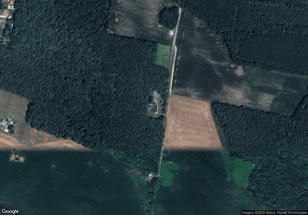
Map
Nearby Homes
- 9305 Samford Ct
- 9509 Rum Ridge Rd
- 31597 E Line Rd
- 15337 Russell Rd
- 8923 Star Rd
- 37000 Brittingham Rd
- 37406 Whitemans Ln
- 31939 Downing Rd
- 38402 Robin Hood Rd
- 38548 Winterberry Dr
- 38540 Winterberry Dr
- Spruce Plan at Stillwater Landing
- Birch Plan at Stillwater Landing
- Hazel Plan at Stillwater Landing
- Cedar Plan at Stillwater Landing
- 9490 Song Sparrow Cir
- Lot 8A Song Sparrow Cir
- Lot 9A Song Sparrow Cir
- 11759 Silverbell Dr
- Lot 7A Mourning Dove Way
- 32233 E Line Rd
- 9415 Breezewood Ln
- 32401 E Line Rd
- 9497 Breezewood Ln
- 14521 Line Rd
- 9507 Breezewood Ln
- 32063 E Line Rd
- 14459 Line Rd
- 32033 E Line Rd
- 32030 Melson Rd
- 14757 Line Rd
- N/RT 54 E Line Rd
- 31993 E Line Rd
- 32403 E Line Rd
- 31975 E Line Rd
- 31975 E Line Rd
- 14189 Line Rd
- 14175 Line Rd
- 31972 Melson Rd
- 32068 Melson Rd