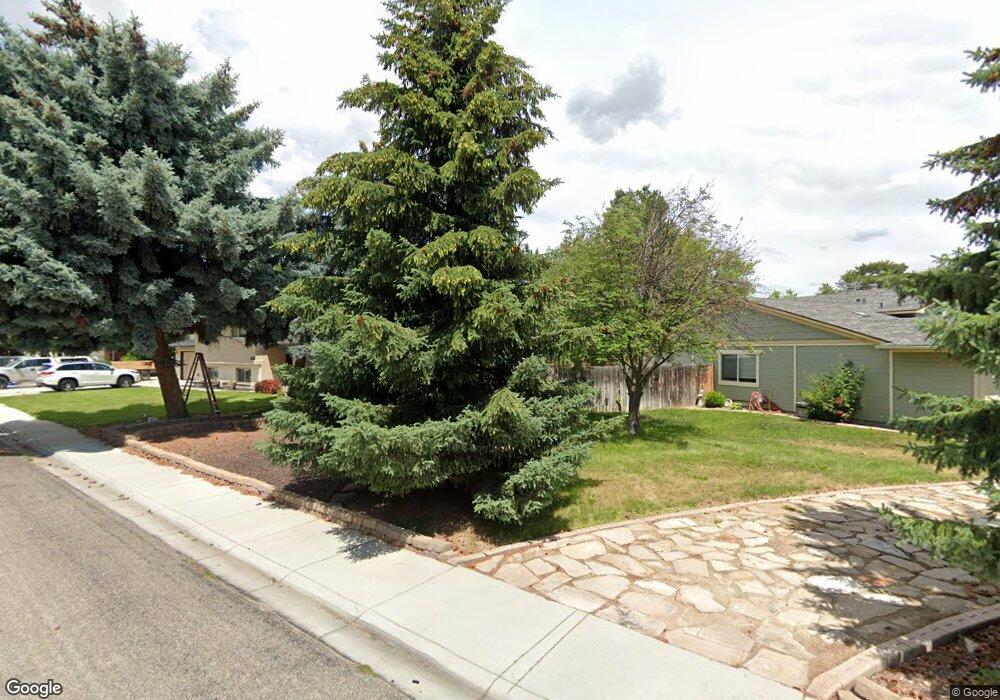
3225 Chieftain Way Boise, ID 83709
Southwest Boise NeighborhoodEstimated Value: $511,000 - $592,000
4
Beds
2
Baths
1,997
Sq Ft
$278/Sq Ft
Est. Value
About This Home
This home is located at 3225 Chieftain Way, Boise, ID 83709 and is currently estimated at $555,909, approximately $278 per square foot. 3225 Chieftain Way is a home located in Ada County with nearby schools including Amity Elementary School, West Junior High School, and Borah Senior High School.
Ownership History
Date
Name
Owned For
Owner Type
Purchase Details
Closed on
Jun 23, 2017
Sold by
Morse Michael M and Morse Carmen M Thomas
Bought by
Moats Patricia A
Current Estimated Value
Home Financials for this Owner
Home Financials are based on the most recent Mortgage that was taken out on this home.
Original Mortgage
$248,800
Outstanding Balance
$206,950
Interest Rate
4.02%
Mortgage Type
New Conventional
Estimated Equity
$348,959
Purchase Details
Closed on
Jun 7, 2002
Sold by
Heywood Frederick W and Heywood Dorothy J
Bought by
Morse Michael M and Thomas Carmen M
Home Financials for this Owner
Home Financials are based on the most recent Mortgage that was taken out on this home.
Original Mortgage
$126,400
Interest Rate
6.83%
Mortgage Type
Purchase Money Mortgage
Create a Home Valuation Report for This Property
The Home Valuation Report is an in-depth analysis detailing your home's value as well as a comparison with similar homes in the area
Home Values in the Area
Average Home Value in this Area
Purchase History
| Date | Buyer | Sale Price | Title Company |
|---|---|---|---|
| Moats Patricia A | -- | First American Title Ins Co | |
| Morse Michael M | -- | Pioneer Title Company |
Source: Public Records
Mortgage History
| Date | Status | Borrower | Loan Amount |
|---|---|---|---|
| Open | Moats Patricia A | $248,800 | |
| Previous Owner | Morse Michael M | $126,400 |
Source: Public Records
Tax History
| Year | Tax Paid | Tax Assessment Tax Assessment Total Assessment is a certain percentage of the fair market value that is determined by local assessors to be the total taxable value of land and additions on the property. | Land | Improvement |
|---|---|---|---|---|
| 2025 | $2,343 | $509,800 | -- | -- |
| 2024 | $2,259 | $487,500 | -- | -- |
| 2023 | $2,259 | $448,300 | $0 | $0 |
| 2022 | $2,824 | $575,900 | $0 | $0 |
| 2021 | $2,531 | $442,400 | $0 | $0 |
| 2020 | $2,205 | $333,700 | $0 | $0 |
| 2019 | $2,272 | $327,800 | $0 | $0 |
| 2018 | $1,900 | $276,800 | $0 | $0 |
| 2017 | $1,657 | $246,800 | $0 | $0 |
| 2016 | $1,561 | $226,700 | $0 | $0 |
| 2015 | $1,463 | $201,100 | $0 | $0 |
| 2012 | -- | $162,100 | $0 | $0 |
Source: Public Records
Map
Nearby Homes
- 3032 S Chieftain Way
- 2994 S Ithaca Ave
- 3060 S Black Hills Dr
- 10375 W Roan Meadows Dr
- 10325 W Roan Meadows Dr
- 11451 W Puerta Ct
- 3762 S Summerset Way
- 10102 W La Jolla Ct
- 10685 W Hollandale Dr
- 10438 W Hollandale Dr
- 2727 S Merrimac Place
- 11825 W Victory Rd
- 2813 & 2825 S Gatewood Ct
- 9820 W Geronimo St
- 2127 S Whisper Cove Way
- 11712 W Annalee Ln
- 10905 W Arabian Way
- 4270 S Varian Ave
- 9412 W Wright St
- 10996 W Southerland St
- 3225 S Chieftain Way
- 10781 W Longrifle Dr
- 10781 Longrifle Dr
- 10770 Winterhawk Dr
- 10742 Winterhawk Dr
- 3193 Chieftain Way
- 10769 Longrifle Dr
- 3161 S Chieftain Way
- 3161 Chieftain Way
- 10798 Winterhawk Dr
- 10714 Winterhawk Dr
- 10737 Longrifle Dr
- 10780 Longrifle Dr
- 3129 Chieftain Way
- 10826 Winterhawk Dr
- 10686 W Winterhawk Dr
- 10686 Winterhawk Dr
- 3216 S Ithaca Ave
- 10693 Longrifle Dr
- 10743 W Winterhawk Dr
Your Personal Tour Guide
Ask me questions while you tour the home.