3225 Devonshire Dr Platte City, MO 64079
Estimated Value: $304,000 - $346,000
About This Home
This home is located at 3225 Devonshire Dr, Platte City, MO 64079 and is currently estimated at $322,839, approximately $216 per square foot. 3225 Devonshire Dr is a home located in Platte County with nearby schools including Platte County High School.
Ownership History
We collect this data history from publicly available records. To have your information removed, we recommend requesting removal directly through your county’s website.
Purchase Details
Home Financials for this Owner
Home Financials are based on the most recent Mortgage that was taken out on this home.Home Values in the Area
Average Home Value in this Area
Purchase History
We collect this data history from publicly available records. To have your information removed, we recommend requesting removal directly through your county’s website.
| Date | Buyer | Sale Price | Title Company |
|---|---|---|---|
| -- | Stewart Title Company |
Mortgage History
We collect this data history from publicly available records. To have your information removed, we recommend requesting removal directly through your county’s website.
| Date | Status | Borrower | Loan Amount |
|---|---|---|---|
| Open | $146,200 |
Tax History
We collect this data history from publicly available records. To have your information removed, we recommend requesting removal directly through your county’s website.
| Year | Tax Paid | Tax Assessment Tax Assessment Total Assessment is a certain percentage of the fair market value that is determined by local assessors to be the total taxable value of land and additions on the property. | Land | Improvement |
|---|---|---|---|---|
| 2025 | $3,209 | $40,425 | $5,700 | $34,725 |
| 2024 | $3,086 | $40,425 | $5,700 | $34,725 |
| 2023 | $3,086 | $40,425 | $5,700 | $34,725 |
| 2022 | $2,736 | $35,461 | $5,700 | $29,761 |
| 2021 | $2,764 | $35,461 | $5,700 | $29,761 |
| 2020 | $2,796 | $35,461 | $5,700 | $29,761 |
| 2019 | $2,796 | $35,461 | $5,700 | $29,761 |
| 2018 | $2,816 | $35,461 | $5,700 | $29,761 |
| 2017 | $2,803 | $35,461 | $5,700 | $29,761 |
| 2016 | $2,788 | $35,461 | $5,700 | $29,761 |
| 2015 | $2,787 | $35,461 | $5,700 | $29,761 |
| 2013 | $2,568 | $35,461 | $0 | $0 |
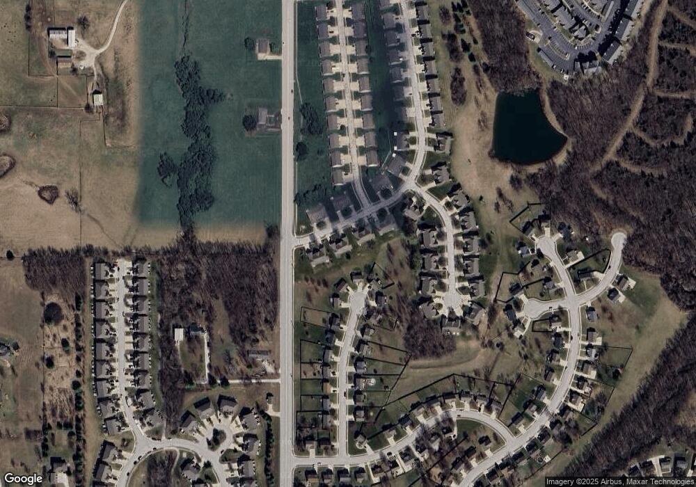
Map
- 3402 Kempton Ct
- 13650 Oak Valley Dr
- 3000 Maple Farm Rd
- 1501 Fox Run Trail
- 1404 Fox Run Trail
- 34 Misty Springs Cir
- 1400 Fox Run Trail
- 15750 Timber Park Ct
- 1301 Fox Run Trail
- 1105 Fox Run Trail
- 16495 NW 137th St
- 16250 NW 134th Ct
- 2600 Windmill Dr
- 2601 Windmill Dr
- 2609 Windmill Dr
- 2605 Windmill Dr
- 105 Johnson Cir
- 13275 N Silver Ridge Dr
- 13235 N Shadow Brook Ct
- 16370 NW 130th Terrace
- 3213 Devonshire Dr
- 3215 Devonshire Dr
- 3211 Devonshire Dr
- 3209 Devonshire Dr
- 3218 Kempton Ct
- 3206 Devonshire Dr
- 3300 Kempton Ct
- 3208 Devonshire Dr
- 3302 Kempton Ct
- 3218 Devonshire Dr
- 3227 Devonshire Dr
- 3202 Devonshire Dr
- 3306 Kempton Ct
- 13800 Green Meadow Ct
- 3308 Kempton Ct
- 3220 Devonshire Dr
- 13795 Green Meadow Ct
- 3200 Devonshire Dr
- 3205 Kempton Ct
- 3372 Kempton Ct
Ask me questions while you tour the home.