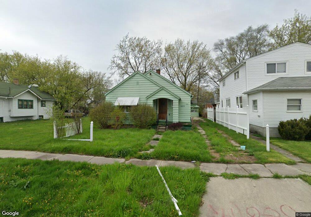
3225 Rust Ave Saginaw, MI 48601
Fairground NeighborhoodEstimated Value: $17,000
--
Bed
1
Bath
1,536
Sq Ft
$11/Sq Ft
Est. Value
About This Home
This home is located at 3225 Rust Ave, Saginaw, MI 48601 and is currently estimated at $17,000, approximately $11 per square foot. 3225 Rust Ave is a home located in Saginaw County with nearby schools including Jessie Loomis School, Thompson Middle School, and Saginaw United High School.
Ownership History
Date
Name
Owned For
Owner Type
Purchase Details
Closed on
Nov 12, 2013
Sold by
Saginaw County Treasurer
Bought by
Saginaw County Land Bank Authority
Current Estimated Value
Purchase Details
Closed on
Jan 18, 2008
Sold by
Us Bank National Assoc
Bought by
Parris Mark
Purchase Details
Closed on
Feb 10, 2007
Sold by
Whitson Sandra L and Whitley Henry
Bought by
Wachovia Bank Na
Purchase Details
Closed on
Aug 25, 1998
Sold by
Whitson Sandra L
Bought by
Whitson Sandra L and Whitley Henry
Purchase Details
Closed on
Aug 23, 1996
Sold by
Dulski Irene A Est
Bought by
Whitson Sandra L
Create a Home Valuation Report for This Property
The Home Valuation Report is an in-depth analysis detailing your home's value as well as a comparison with similar homes in the area
Home Values in the Area
Average Home Value in this Area
Purchase History
| Date | Buyer | Sale Price | Title Company |
|---|---|---|---|
| Saginaw County Land Bank Authority | -- | -- | |
| Parris Mark | $5,300 | -- | |
| Us Bank National Assoc | -- | -- | |
| Wachovia Bank Na | $62,200 | -- | |
| Whitson Sandra L | -- | -- | |
| Whitson Sandra L | $21,800 | -- |
Source: Public Records
Tax History Compared to Growth
Tax History
| Year | Tax Paid | Tax Assessment Tax Assessment Total Assessment is a certain percentage of the fair market value that is determined by local assessors to be the total taxable value of land and additions on the property. | Land | Improvement |
|---|---|---|---|---|
| 2025 | -- | $0 | $0 | $0 |
| 2024 | -- | $0 | $0 | $0 |
| 2023 | -- | $0 | $0 | $0 |
| 2022 | $0 | $0 | $0 | $0 |
| 2021 | $0 | $0 | $0 | $0 |
| 2020 | $0 | $0 | $0 | $0 |
| 2019 | $0 | $0 | $0 | $0 |
| 2018 | $0 | $0 | $0 | $0 |
| 2017 | $0 | $0 | $0 | $0 |
| 2016 | -- | $0 | $0 | $0 |
| 2014 | -- | $0 | $0 | $0 |
| 2013 | -- | $11,174 | $0 | $0 |
Source: Public Records
Map
Nearby Homes
- 1941 Walcott St
- 3341 Fulton St
- 2009 E Holland Rd
- 2411 Beechwood Ave
- 1410 S 17th St
- 2416 Lynnwood Ave
- 2411 Troy St
- 2143 Whittier St
- 2403 Troy St
- 2420 Lynnwood Ave
- 1503 Ward St
- 2126 Maplewood Ave
- 1610 E Genesee Ave
- 1432 Cornelia St
- 2928 Walters Dr
- 3012 Walters Dr
- 1029 E Holland Ave
- 1624 Cedar St
- 1928 Parkwood Ave
- 1919 Perkins St