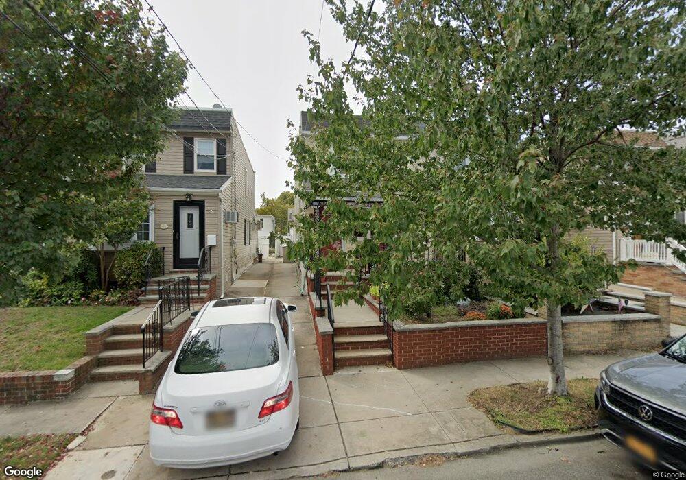
3226 200th St Bayside, NY 11361
Auburndale NeighborhoodEstimated Value: $809,000 - $900,000
Studio
--
Bath
1,065
Sq Ft
$806/Sq Ft
Est. Value
About This Home
This home is located at 3226 200th St, Bayside, NY 11361 and is currently estimated at $858,467, approximately $806 per square foot. 3226 200th St is a home located in Queens County with nearby schools including P.S. 159 Queens, I.S. 25 Adrien Block, and Bayside High School.
Ownership History
Date
Name
Owned For
Owner Type
Purchase Details
Closed on
Jun 15, 2022
Sold by
Mahowald Elizabeth M and Mahowald Joseph
Bought by
Chen Haiming and Tao Liyi
Current Estimated Value
Purchase Details
Closed on
Jun 17, 2002
Sold by
Mcguire Patrick and Mc Guire Sheila
Bought by
Mahowald Elizabeth M and Mahowald Joseph
Home Financials for this Owner
Home Financials are based on the most recent Mortgage that was taken out on this home.
Original Mortgage
$248,000
Interest Rate
6.73%
Mortgage Type
Purchase Money Mortgage
Purchase Details
Closed on
Sep 25, 1995
Sold by
Oci Mtg Corp
Bought by
Mcguire Patrick and Mcguire Sheila
Home Financials for this Owner
Home Financials are based on the most recent Mortgage that was taken out on this home.
Original Mortgage
$113,600
Interest Rate
7.37%
Mortgage Type
Purchase Money Mortgage
Create a Home Valuation Report for This Property
The Home Valuation Report is an in-depth analysis detailing your home's value as well as a comparison with similar homes in the area
Home Values in the Area
Average Home Value in this Area
Purchase History
| Date | Buyer | Sale Price | Title Company |
|---|---|---|---|
| Chen Haiming | $815,000 | -- | |
| Chen Haiming | $815,000 | -- | |
| Mahowald Elizabeth M | -- | -- | |
| Mahowald Elizabeth M | -- | -- | |
| Mcguire Patrick | $142,000 | Commonwealth Land Title Ins | |
| Mcguire Patrick | $142,000 | Commonwealth Land Title Ins |
Source: Public Records
Mortgage History
| Date | Status | Borrower | Loan Amount |
|---|---|---|---|
| Previous Owner | Mahowald Elizabeth M | $248,000 | |
| Previous Owner | Mcguire Patrick | $113,600 |
Source: Public Records
Tax History
| Year | Tax Paid | Tax Assessment Tax Assessment Total Assessment is a certain percentage of the fair market value that is determined by local assessors to be the total taxable value of land and additions on the property. | Land | Improvement |
|---|---|---|---|---|
| 2025 | $4,922 | $25,259 | $6,916 | $18,343 |
| 2024 | $4,922 | $24,504 | $7,170 | $17,334 |
| 2023 | $4,715 | $23,216 | $6,953 | $16,263 |
| 2022 | $4,090 | $41,400 | $13,800 | $27,600 |
| 2021 | $4,138 | $44,100 | $13,800 | $30,300 |
| 2020 | $4,159 | $43,980 | $13,800 | $30,180 |
| 2019 | $3,979 | $43,680 | $13,800 | $29,880 |
| 2018 | $3,646 | $19,347 | $6,975 | $12,372 |
| 2017 | $3,425 | $18,270 | $6,957 | $11,313 |
| 2016 | $3,200 | $18,270 | $6,957 | $11,313 |
| 2015 | $1,859 | $17,541 | $7,547 | $9,994 |
| 2014 | $1,859 | $17,017 | $7,935 | $9,082 |
Source: Public Records
Map
Nearby Homes
- 32-19 Jordan St
- 3227 202nd St
- 20206 33rd Ave
- 3226 204th St
- 3314 204th St
- 34-12 192nd St
- 2952 172nd St
- 204-11 34th Ave
- 201-05 28th Ave
- 28-07 172nd St
- 205-12 34th Ave
- 34-32 205th St
- 29-31 170th St
- 35-05 204th St Unit 245
- 2623 Utopia Pkwy
- 32-03 Clearview Expy
- 204-12 35th Ave Unit 254
- 35-12 205th St Unit 259
- 35-27 203rd St
- 32-12 208th St
Your Personal Tour Guide
Ask me questions while you tour the home.