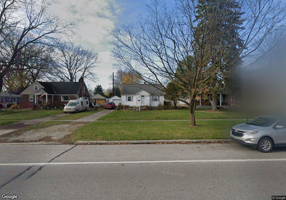
3227 10th Ave Port Huron, MI 48060
Estimated Value: $160,174 - $196,000
Studio
--
Bath
1,052
Sq Ft
$170/Sq Ft
Est. Value
About This Home
This home is located at 3227 10th Ave, Port Huron, MI 48060 and is currently estimated at $179,294, approximately $170 per square foot. 3227 10th Ave is a home located in St. Clair County with nearby schools including Garfield Elementary School, Holland Woods Middle School, and Port Huron Northern High School.
Create a Home Valuation Report for This Property
The Home Valuation Report is an in-depth analysis detailing your home's value as well as a comparison with similar homes in the area
Home Values in the Area
Average Home Value in this Area
Tax History
| Year | Tax Paid | Tax Assessment Tax Assessment Total Assessment is a certain percentage of the fair market value that is determined by local assessors to be the total taxable value of land and additions on the property. | Land | Improvement |
|---|---|---|---|---|
| 2025 | $1,810 | $77,900 | $0 | $0 |
| 2024 | $1,765 | $71,700 | $0 | $0 |
| 2023 | $1,667 | $63,000 | $0 | $0 |
| 2022 | $1,742 | $56,000 | $0 | $0 |
| 2020 | $1,672 | $50,100 | $50,100 | $0 |
| 2019 | $1,642 | $43,900 | $0 | $0 |
| 2018 | $1,606 | $43,900 | $0 | $0 |
| 2017 | $1,434 | $39,900 | $0 | $0 |
| 2016 | $1,225 | $39,900 | $0 | $0 |
| 2015 | $1,202 | $36,400 | $36,400 | $0 |
| 2014 | $1,202 | $33,700 | $33,700 | $0 |
| 2013 | -- | $33,000 | $0 | $0 |
Source: Public Records
Map
Nearby Homes
- 3321 Stone St
- 1020 Sanborn St
- 1813 N Woodland Dr
- 2925 Linda Ct
- 1828 Kennelworth Dr
- 3455 Gratiot Ave
- 810 Holland Ave Unit 8
- 3444 Riverside Dr
- 3142 Wright St
- 2224 Garfield St
- 2215 Hancock St
- 2400 Stone St Unit 2414
- 2857 Riverside Dr
- 2008 Elmwood St
- 3945 Butternut Ct
- 3515 Strawberry Ln
- 2549 Riverwood Dr
- 1907 Riverside Dr
- 2838 Elmwood St
- 3196 Oakwood Dr