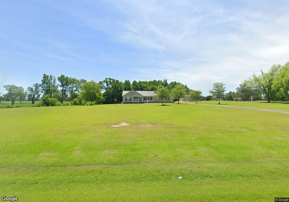
3227 Brothers Rd La Grange, NC 28551
Estimated Value: $181,000 - $270,000
3
Beds
2
Baths
1,672
Sq Ft
$138/Sq Ft
Est. Value
About This Home
This home is located at 3227 Brothers Rd, La Grange, NC 28551 and is currently estimated at $231,333, approximately $138 per square foot. 3227 Brothers Rd is a home located in Lenoir County with nearby schools including La Grange Elementary School, E.B. Frink Middle School, and North Lenoir High School.
Ownership History
Date
Name
Owned For
Owner Type
Purchase Details
Closed on
Sep 28, 2017
Sold by
Carmen Michelle Cantu
Bought by
Ipock Kirk and Ipock Lynette
Current Estimated Value
Home Financials for this Owner
Home Financials are based on the most recent Mortgage that was taken out on this home.
Original Mortgage
$51,979
Outstanding Balance
$43,324
Interest Rate
3.83%
Estimated Equity
$188,009
Purchase Details
Closed on
Jul 7, 2016
Bought by
Ipock Kirk A
Home Financials for this Owner
Home Financials are based on the most recent Mortgage that was taken out on this home.
Original Mortgage
$200,000
Interest Rate
3.41%
Create a Home Valuation Report for This Property
The Home Valuation Report is an in-depth analysis detailing your home's value as well as a comparison with similar homes in the area
Home Values in the Area
Average Home Value in this Area
Purchase History
| Date | Buyer | Sale Price | Title Company |
|---|---|---|---|
| Ipock Kirk | -- | -- | |
| Ipock Kirk A | -- | -- |
Source: Public Records
Mortgage History
| Date | Status | Borrower | Loan Amount |
|---|---|---|---|
| Open | Ipock Kirk A | $51,979 | |
| Closed | Ipock Kirk A | -- | |
| Previous Owner | Ipock Kirk A | $200,000 | |
| Previous Owner | Ipock Kirk A | -- |
Source: Public Records
Tax History Compared to Growth
Tax History
| Year | Tax Paid | Tax Assessment Tax Assessment Total Assessment is a certain percentage of the fair market value that is determined by local assessors to be the total taxable value of land and additions on the property. | Land | Improvement |
|---|---|---|---|---|
| 2025 | $1,746 | $241,063 | $42,287 | $198,776 |
| 2024 | $1,234 | $136,768 | $31,000 | $105,768 |
| 2023 | $1,317 | $136,768 | $31,000 | $105,768 |
| 2022 | $1,324 | $136,768 | $31,000 | $105,768 |
| 2021 | $1,321 | $136,768 | $31,000 | $105,768 |
| 2020 | $1,321 | $136,768 | $31,000 | $105,768 |
| 2019 | $1,324 | $136,768 | $31,000 | $105,768 |
| 2018 | $1,304 | $136,768 | $31,000 | $105,768 |
| 2017 | $1,305 | $136,768 | $31,000 | $105,768 |
| 2014 | $1,428 | $152,776 | $31,000 | $121,776 |
| 2013 | -- | $152,776 | $31,000 | $121,776 |
| 2011 | -- | $152,776 | $31,000 | $121,776 |
Source: Public Records
Map
Nearby Homes
- 4310 Colie Rd
- 3803 Huntcliff Dr
- 3796 Pecan Grove Cir
- 3821 Lindsey Ln
- 3766 Huntcliff Dr
- 3725 Huntcliff Dr
- 3740 Huntcliff Dr
- 3730 Huntcliff Dr
- 3711 Drew Farmer Rd
- 3696 Drew Farmer Rd
- 3684 Drew Farmer Rd
- 0 Fred Harrison Rd Unit LotWP001
- 2526 Moulton Dr
- 3494 Danfield Dr
- 5130 Aldridge Store Rd
- 3395 Danfield Dr
- 3379 Danfield Dr
- 2445 Tammy Dr
- 2321 Fred Everett Rd
- 3100 Wheat Swamp Rd
- 4980 Daly Acres Rd
- 3226 Brothers Rd
- 3244 Brothers Rd
- 3244 Brothers Rd
- 3299 Brothers Rd
- 3421 Brothers Rd
- 4690 Bryan Hardy Rd
- 4664 Bryan Hardy Rd
- 4758 Bryan Hardy Rd
- 4640 Bryan Hardy Rd
- 4616 Bryan Hardy Rd
- 4772 Bryan Hardy Rd
- 4788 Bryan Hardy Rd
- 4657 Bryan Hardy Rd
- 4709 Bryan Hardy Rd
- 4739 Bryan Hardy Rd
- 4755 Bryan Hardy Rd
- 4687 Bryan Hardy Rd
- 4679 Bryan Hardy Rd
- 4771 Bryan Hardy Rd