3228 Enterprise Rd E Safety Harbor, FL 34695
Estimated Value: $656,000 - $1,023,000
Studio
--
Bath
2,050
Sq Ft
$439/Sq Ft
Est. Value
About This Home
This home is located at 3228 Enterprise Rd E, Safety Harbor, FL 34695 and is currently estimated at $899,703, approximately $438 per square foot. 3228 Enterprise Rd E is a home located in Pinellas County with nearby schools including Leila Davis Elementary School, Countryside High School, and Safety Harbor Middle School.
Ownership History
Date
Name
Owned For
Owner Type
Purchase Details
Closed on
Oct 5, 1999
Sold by
Lamont Cheryl L
Bought by
Cole Richard M
Current Estimated Value
Home Financials for this Owner
Home Financials are based on the most recent Mortgage that was taken out on this home.
Original Mortgage
$225,000
Outstanding Balance
$65,870
Interest Rate
7.89%
Mortgage Type
New Conventional
Estimated Equity
$833,833
Create a Home Valuation Report for This Property
The Home Valuation Report is an in-depth analysis detailing your home's value as well as a comparison with similar homes in the area
Home Values in the Area
Average Home Value in this Area
Purchase History
| Date | Buyer | Sale Price | Title Company |
|---|---|---|---|
| Cole Richard M | $320,000 | -- |
Source: Public Records
Mortgage History
| Date | Status | Borrower | Loan Amount |
|---|---|---|---|
| Open | Cole Richard M | $126,550 | |
| Open | Cole Richard M | $225,000 |
Source: Public Records
Tax History
| Year | Tax Paid | Tax Assessment Tax Assessment Total Assessment is a certain percentage of the fair market value that is determined by local assessors to be the total taxable value of land and additions on the property. | Land | Improvement |
|---|---|---|---|---|
| 2025 | $7,995 | $507,337 | -- | -- |
| 2024 | $7,981 | $493,039 | -- | -- |
| 2023 | $7,981 | $478,679 | $0 | $0 |
| 2022 | $7,845 | $464,737 | $0 | $0 |
| 2021 | $8,033 | $451,201 | $0 | $0 |
| 2020 | $8,212 | $444,971 | $0 | $0 |
| 2019 | $8,159 | $434,967 | $0 | $0 |
| 2018 | $8,111 | $426,857 | $0 | $0 |
| 2017 | $8,050 | $418,077 | $0 | $0 |
| 2016 | $7,990 | $409,478 | $0 | $0 |
| 2015 | $8,102 | $406,632 | $0 | $0 |
| 2014 | $8,062 | $403,405 | $0 | $0 |
Source: Public Records
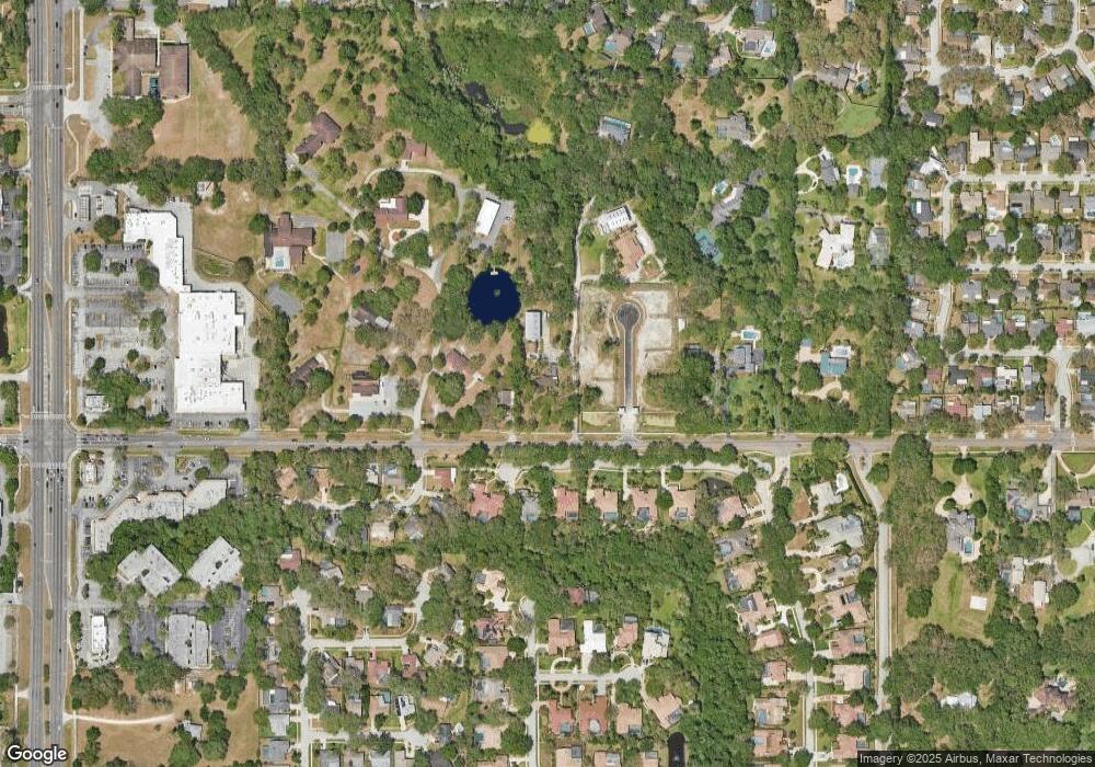
Map
Nearby Homes
- 1735 Tall Pine Cir
- 1609 Hampton Ct
- 1736 Pine Creek Ct
- 1812 Pine Hill Dr
- 3 Booth Blvd
- 167 Woodcreek Dr W
- 2303 Oxford Ct
- 3078 Eastland Blvd Unit 107
- 3078 Eastland Blvd Unit 411
- 3321 Meander Ln
- 3062 Eastland Blvd Unit 105
- 3062 Eastland Blvd Unit 406
- 3062 Eastland Blvd Unit 308
- 2225 Windsong Ct
- 3034 Eastland Blvd Unit 104
- 3034 Eastland Blvd Unit D210
- 3076 Eastland Blvd Unit 404
- 3076 Eastland Blvd Unit 405
- 45 Turnstone Dr
- 625 Fayette Dr S
- 3250 Enterprise Rd E
- 3246 Enterprise Rd E
- 3280 Enterprise Rd E
- 2 Fernery Ln
- 1612 Huntington Place
- 1614 Huntington Place
- 1616 Huntington Place
- 1610 Huntington Place
- 3270 Enterprise Rd E
- 1608 Huntington Place
- 4 Fernery Ln
- 3244 Enterprise Rd E
- 1 Fernery Ln
- 1606 Huntington Place
- 3266 Enterprise Rd E
- 3 Fernery Ln
- 6 Fernery Ln
- 5 Fernery Ln
- 2411 Hampton Ln W
- 2412 Hampton Ln W
Your Personal Tour Guide
Ask me questions while you tour the home.