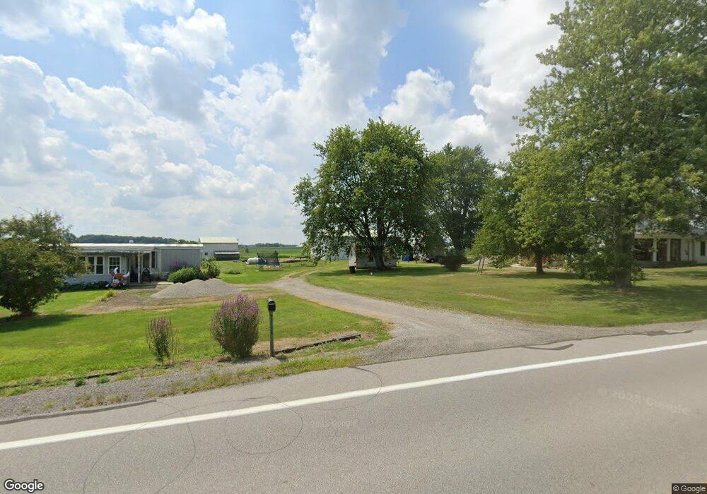
3228 State Route 49 Ew Edgerton, OH 43517
Estimated Value: $227,663 - $361,000
3
Beds
1
Bath
2,150
Sq Ft
$128/Sq Ft
Est. Value
About This Home
This home is located at 3228 State Route 49 Ew, Edgerton, OH 43517 and is currently estimated at $275,888, approximately $128 per square foot. 3228 State Route 49 Ew is a home located in Williams County with nearby schools including Edgerton Elementary School, Edgerton High School, and St. Mary School.
Ownership History
Date
Name
Owned For
Owner Type
Purchase Details
Closed on
Apr 14, 2021
Sold by
Estate Of Dorlyn G Cottrell Jr
Bought by
Yoder Jamie and Cottrell Jessie
Current Estimated Value
Purchase Details
Closed on
Feb 14, 2020
Sold by
Estate Of Sheila M Cottrell
Bought by
Cottrell Dorlyn G
Purchase Details
Closed on
Apr 10, 2001
Sold by
Patrick Lois R
Bought by
Cottrell Sheila M
Purchase Details
Closed on
Sep 27, 1999
Sold by
Patrick Virgil and Patrick Phyllis
Bought by
Patrick Lois R
Purchase Details
Closed on
Jan 1, 1990
Bought by
Patrick Virgil and Patrick Phyllis
Create a Home Valuation Report for This Property
The Home Valuation Report is an in-depth analysis detailing your home's value as well as a comparison with similar homes in the area
Home Values in the Area
Average Home Value in this Area
Purchase History
| Date | Buyer | Sale Price | Title Company |
|---|---|---|---|
| Yoder Jamie | -- | None Available | |
| Cottrell Dorlyn G | -- | None Available | |
| Cottrell Sheila M | -- | -- | |
| Patrick Lois R | -- | -- | |
| Patrick Virgil | -- | -- |
Source: Public Records
Tax History Compared to Growth
Tax History
| Year | Tax Paid | Tax Assessment Tax Assessment Total Assessment is a certain percentage of the fair market value that is determined by local assessors to be the total taxable value of land and additions on the property. | Land | Improvement |
|---|---|---|---|---|
| 2024 | $1,131 | $68,040 | $22,190 | $45,850 |
| 2023 | $2,197 | $57,020 | $18,550 | $38,470 |
| 2022 | $2,023 | $57,020 | $18,550 | $38,470 |
| 2021 | $2,006 | $57,020 | $18,550 | $38,470 |
| 2020 | $1,745 | $48,970 | $15,930 | $33,040 |
| 2019 | $1,723 | $48,970 | $15,930 | $33,040 |
| 2018 | $1,549 | $48,970 | $15,930 | $33,040 |
| 2017 | $1,474 | $43,270 | $13,340 | $29,930 |
| 2016 | $1,373 | $43,270 | $13,340 | $29,930 |
| 2015 | $1,477 | $43,270 | $13,340 | $29,930 |
| 2014 | $1,477 | $43,270 | $13,340 | $29,930 |
| 2013 | $1,443 | $43,270 | $13,340 | $29,930 |
Source: Public Records
Map
Nearby Homes
- 6163 County Road 4-50
- 4831 County Road 4-50
- 0 G Rd Unit 10000002
- 0 County Road G
- 104 Knox Ln
- 318 N Daniel St
- 00 County Road 4-50
- 405 W Indiana St
- 409 E Indiana St
- 208 N Michigan St
- 5196 County Road J
- 7402 S 800 E
- 7825 County Road 7g
- 7037 S 800 E
- 1974 State Route 49
- 3631 Lake St
- 8873 County Road C
- 202 N Ivy Ln
- 000 S Ivy Ln
- 324 N Park Ln
- 3113 State Route 49 Ew
- 3443 State Route 49 Ew
- 06025 County Road 3
- 6025 County Road 3
- 0 1 St Rt 49
- 0 St Rt 49 Unit 4647333
- 0 St Rt 49 Unit 6107899
- 2746 County Road F
- 2661 County Road F
- 6363 State Route 49
- 2506 F
- 6392 State Route 49
- 3044 County Road F50
- 5131 County Road 3
- 5131 County Road 3
- 2506 County Road F
- 3011 County Road F50
- 6133 County Road 4
- 05785 County Road 4
- 3324 County Rd E