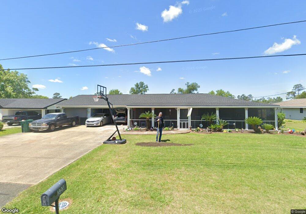
323 Cedar Ln Lake Charles, LA 70611
Moss Bluff NeighborhoodEstimated Value: $173,854 - $239,000
3
Beds
2
Baths
1,800
Sq Ft
$114/Sq Ft
Est. Value
About This Home
This home is located at 323 Cedar Ln, Lake Charles, LA 70611 and is currently estimated at $205,714, approximately $114 per square foot. 323 Cedar Ln is a home located in Calcasieu Parish with nearby schools including Graham & Parks Alternative Public School, Moss Bluff Elementary School, and Putnam Avenue Upper School.
Ownership History
Date
Name
Owned For
Owner Type
Purchase Details
Closed on
Jan 13, 2013
Sold by
Mcwilliams Jake Daniel
Bought by
Heald Mcwilliams Jack Davdi and Heald Mcwilliams Victoria Evelyn
Current Estimated Value
Purchase Details
Closed on
Sep 30, 2009
Sold by
Cormier Glenn John and Cormier Elizabeth Joanne
Bought by
Mcwilliams Jake Daniel
Home Financials for this Owner
Home Financials are based on the most recent Mortgage that was taken out on this home.
Original Mortgage
$154,224
Interest Rate
5.12%
Mortgage Type
New Conventional
Create a Home Valuation Report for This Property
The Home Valuation Report is an in-depth analysis detailing your home's value as well as a comparison with similar homes in the area
Home Values in the Area
Average Home Value in this Area
Purchase History
| Date | Buyer | Sale Price | Title Company |
|---|---|---|---|
| Heald Mcwilliams Jack Davdi | $160,000 | Elite Title Insurance Agency | |
| Mcwilliams Jake Daniel | $149,900 | None Available |
Source: Public Records
Mortgage History
| Date | Status | Borrower | Loan Amount |
|---|---|---|---|
| Previous Owner | Mcwilliams Jake Daniel | $154,224 |
Source: Public Records
Tax History Compared to Growth
Tax History
| Year | Tax Paid | Tax Assessment Tax Assessment Total Assessment is a certain percentage of the fair market value that is determined by local assessors to be the total taxable value of land and additions on the property. | Land | Improvement |
|---|---|---|---|---|
| 2024 | $259 | $9,870 | $2,380 | $7,490 |
| 2023 | $255 | $9,870 | $2,380 | $7,490 |
| 2022 | $1,043 | $9,870 | $2,380 | $7,490 |
| 2021 | $263 | $9,870 | $2,380 | $7,490 |
| 2020 | $982 | $9,020 | $2,280 | $6,740 |
| 2019 | $1,059 | $9,690 | $2,200 | $7,490 |
| 2018 | $240 | $9,690 | $2,200 | $7,490 |
| 2017 | $1,075 | $9,690 | $2,200 | $7,490 |
Source: Public Records
Map
Nearby Homes
- 458 Moss Bluff Dr
- 444 Andrus Loop
- 454 White Oak Dr
- 357 White Oak Dr
- 0 Champagne Cir Unit SWL23007471
- 276 School St
- 740 Sam Houston Jones Pkwy
- 234 Reeves Rd
- 298 S Presidential Cir
- 290 Morrow Rd
- 125 Thelma Ln
- 833 N Huval Dr
- 179 Sam Houston Jones Pkwy
- 1208 Sam Houston Joness Pkwy
- 863 Cooley Rd
- 211 Senator Ln
- 179 Armistead Ln
- 201 Armistead Ln
- 231 N Presidential Cir
- 1032 Tan Tara Cir