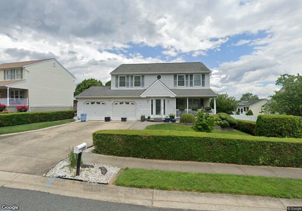
323 Goforth Dr Havre de Grace, MD 21078
Estimated Value: $382,108 - $433,000
--
Bed
3
Baths
1,935
Sq Ft
$210/Sq Ft
Est. Value
About This Home
This home is located at 323 Goforth Dr, Havre de Grace, MD 21078 and is currently estimated at $405,777, approximately $209 per square foot. 323 Goforth Dr is a home located in Harford County with nearby schools including Meadowvale Elementary School, Havre de Grace Middle School, and Havre de Grace High School.
Ownership History
Date
Name
Owned For
Owner Type
Purchase Details
Closed on
Oct 16, 1990
Sold by
Stapf Charles Q & Sons Inc
Bought by
Towns Joe L and Towns Ilona I
Current Estimated Value
Home Financials for this Owner
Home Financials are based on the most recent Mortgage that was taken out on this home.
Original Mortgage
$89,600
Interest Rate
10.22%
Purchase Details
Closed on
Jun 14, 1990
Sold by
Bay View Partnership Inc
Bought by
Stapf Charles Q & Sons Inc
Create a Home Valuation Report for This Property
The Home Valuation Report is an in-depth analysis detailing your home's value as well as a comparison with similar homes in the area
Home Values in the Area
Average Home Value in this Area
Purchase History
| Date | Buyer | Sale Price | Title Company |
|---|---|---|---|
| Towns Joe L | $128,000 | -- | |
| Stapf Charles Q & Sons Inc | $73,000 | -- |
Source: Public Records
Mortgage History
| Date | Status | Borrower | Loan Amount |
|---|---|---|---|
| Closed | Towns Joe L | $89,600 |
Source: Public Records
Tax History Compared to Growth
Tax History
| Year | Tax Paid | Tax Assessment Tax Assessment Total Assessment is a certain percentage of the fair market value that is determined by local assessors to be the total taxable value of land and additions on the property. | Land | Improvement |
|---|---|---|---|---|
| 2025 | $2,272 | $304,967 | $0 | $0 |
| 2024 | $2,272 | $289,400 | $83,200 | $206,200 |
| 2023 | $2,206 | $281,033 | $0 | $0 |
| 2022 | $2,972 | $272,667 | $0 | $0 |
| 2021 | $3,081 | $264,300 | $83,200 | $181,100 |
| 2020 | $494 | $257,000 | $0 | $0 |
| 2019 | $2,511 | $249,700 | $0 | $0 |
| 2018 | $2,416 | $242,400 | $93,200 | $149,200 |
| 2017 | $2,416 | $242,400 | $0 | $0 |
| 2016 | -- | $242,400 | $0 | $0 |
| 2015 | $2,541 | $245,100 | $0 | $0 |
| 2014 | $2,541 | $245,100 | $0 | $0 |
Source: Public Records
Map
Nearby Homes
- 101 Susquehanna Ct
- 102 Tidewater Dr
- Somerset II - Bulle Rock Plan at Bulle Rock - Single Family
- Chartwell Plan at Bulle Rock - Single Family
- Franklin Plan at Bulle Rock - Single Family
- Hampton II Plan at Bulle Rock - Single Family
- Patton Plan at Bulle Rock - Single Family
- Augusta Plan at Bulle Rock - Single Family
- Alexander II Plan at Bulle Rock - Single Family
- Andrews Plan at Bulle Rock - Single Family
- Somerset Plan at Bulle Rock - Single Family
- 539 Whimsical Dr
- TBB-AUGUSTA Whimsical Dr
- TBB-TOLCHESTER II Whimsical Dr
- 321 Friar Rock Cir
- TBB-PATTON Whimsical Dr
- TBB-SOMERSET II Whimsical Dr
- 302 Friar Rock Cir
- 300 Friar Rock Cir
- 330 Friar Rock Cir
- 321 Goforth Dr
- 325 Goforth Dr
- 214 Tidewater Dr
- 319 Goforth Dr
- 203 Fender Ct
- 205 Fender Ct
- 212 Tidewater Dr
- 317 Goforth Dr
- 336 Goforth Dr
- 334 Goforth Dr
- 338 Goforth Dr
- 207 Fender Ct
- 315 Goforth Dr
- 211 Tidewater Dr
- 209 Fender Ct
- 209 Tidewater Dr
- 213 Tidewater Dr
- 302 Lockhart Ct
- 320 Goforth Dr
- 304 Lockhart Ct