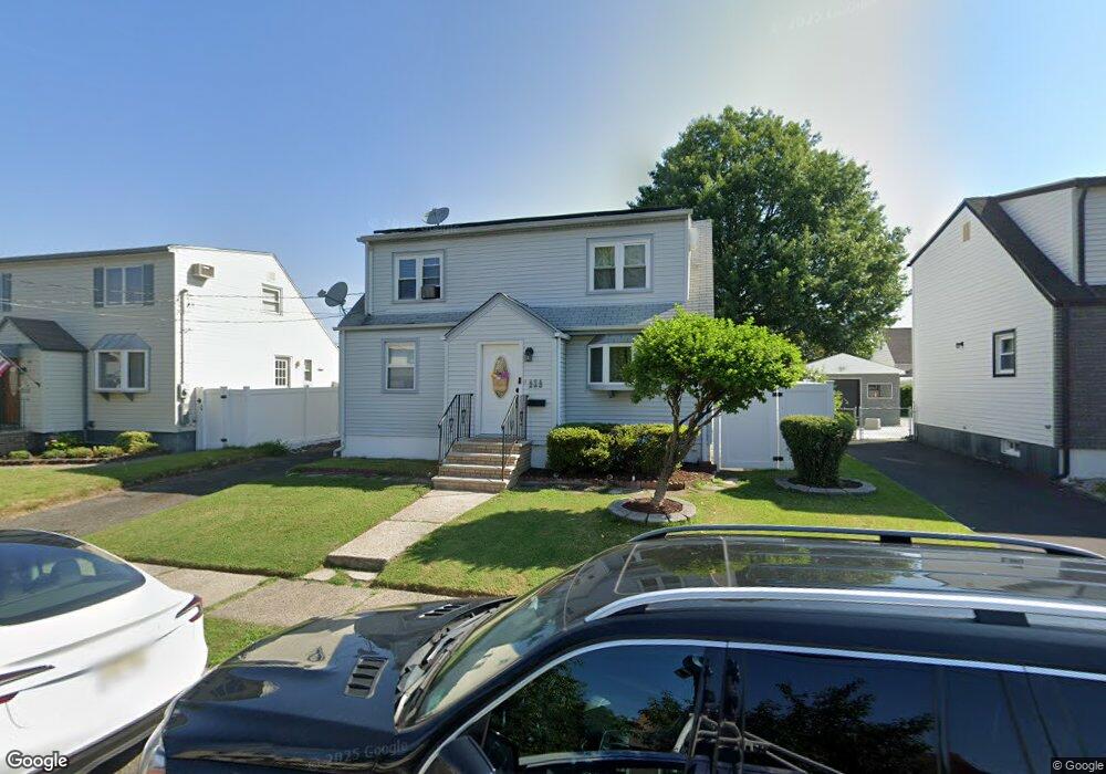
323 Harding Ave Lyndhurst, NJ 07071
Estimated Value: $511,000 - $653,000
--
Bed
--
Bath
1,339
Sq Ft
$423/Sq Ft
Est. Value
About This Home
This home is located at 323 Harding Ave, Lyndhurst, NJ 07071 and is currently estimated at $566,466, approximately $423 per square foot. 323 Harding Ave is a home located in Bergen County with nearby schools including Lyndhurst High School.
Ownership History
Date
Name
Owned For
Owner Type
Purchase Details
Closed on
Jun 27, 2011
Sold by
Us Bank
Bought by
Ghabras Sami
Current Estimated Value
Purchase Details
Closed on
Feb 15, 2010
Sold by
Mcguire Leo P
Bought by
Us Bank
Purchase Details
Closed on
Feb 2, 1996
Sold by
Hupka David
Bought by
Scott Karenn and Eslampour Badieh
Home Financials for this Owner
Home Financials are based on the most recent Mortgage that was taken out on this home.
Original Mortgage
$162,000
Interest Rate
7.04%
Create a Home Valuation Report for This Property
The Home Valuation Report is an in-depth analysis detailing your home's value as well as a comparison with similar homes in the area
Home Values in the Area
Average Home Value in this Area
Purchase History
| Date | Buyer | Sale Price | Title Company |
|---|---|---|---|
| Ghabras Sami | $245,199 | -- | |
| Us Bank | -- | -- | |
| Scott Karenn | $170,000 | -- |
Source: Public Records
Mortgage History
| Date | Status | Borrower | Loan Amount |
|---|---|---|---|
| Previous Owner | Scott Karenn | $162,000 |
Source: Public Records
Tax History Compared to Growth
Tax History
| Year | Tax Paid | Tax Assessment Tax Assessment Total Assessment is a certain percentage of the fair market value that is determined by local assessors to be the total taxable value of land and additions on the property. | Land | Improvement |
|---|---|---|---|---|
| 2025 | $8,824 | $427,100 | $279,400 | $147,700 |
| 2024 | $8,408 | $423,000 | $276,900 | $146,100 |
| 2023 | $9,116 | $413,800 | $269,400 | $144,400 |
| 2022 | $9,116 | $287,400 | $169,000 | $118,400 |
| 2021 | $8,737 | $287,400 | $169,000 | $118,400 |
| 2020 | $8,547 | $287,400 | $169,000 | $118,400 |
| 2019 | $8,484 | $287,400 | $169,000 | $118,400 |
| 2018 | $8,553 | $287,400 | $169,000 | $118,400 |
| 2017 | $8,337 | $287,400 | $169,000 | $118,400 |
| 2016 | $8,151 | $287,400 | $169,000 | $118,400 |
| 2015 | $7,895 | $287,400 | $169,000 | $118,400 |
| 2014 | $7,791 | $287,400 | $169,000 | $118,400 |
Source: Public Records
Map
Nearby Homes
- 307 Jauncey Ave
- 471 Harding Ave
- 614 10th St
- 609 Chase Ave
- 105 Jauncey Ave
- 416 Kingsland Ave
- 258 Kingsland Ave
- 506 Park Place
- 518 8th St
- 748 6th St
- 29 6th St
- 771 5th St
- 773 5th St
- 524 Octavia Place
- 14 River Rd Unit F
- 14 River Rd Unit G
- 75 Birchwood Dr
- 474 Willow Ave
- 510 Anthony Ct
- 25 River Rd Unit A-12
- 327 Harding Ave
- 319 Harding Ave
- 331 Harding Ave
- 324 Wilson Ave
- 315 Harding Ave
- 328 Wilson Ave
- 320 Wilson Ave
- 324 Harding Ave
- 335 Harding Ave
- 316 Wilson Ave
- 311 Harding Ave
- 328 Harding Ave
- 336 Wilson Ave
- 846 Riverside Ave
- 846 Riverside Ave
- 846 Riverside Ave
- 846 Riverside Ave
- 846 Riverside Ave
- 846 Riverside Ave
- 846 Riverside Ave