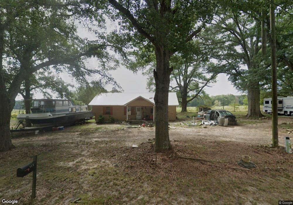
323 Lovvorn Farm Rd Carrollton, GA 30117
Estimated Value: $265,000 - $360,276
3
Beds
1
Bath
1,332
Sq Ft
$237/Sq Ft
Est. Value
About This Home
This home is located at 323 Lovvorn Farm Rd, Carrollton, GA 30117 and is currently estimated at $316,092, approximately $237 per square foot. 323 Lovvorn Farm Rd is a home located in Carroll County with nearby schools including Mt. Zion Elementary School, Mt. Zion Middle School, and Mt. Zion High School.
Ownership History
Date
Name
Owned For
Owner Type
Purchase Details
Closed on
Dec 20, 2013
Sold by
Silvey T Aubrey
Bought by
Silvey Judith M
Current Estimated Value
Purchase Details
Closed on
Apr 1, 2002
Sold by
Tatum Robert L Pc
Bought by
David Silvey T and David T
Purchase Details
Closed on
Mar 31, 2002
Bought by
Silvey T Aubrey
Purchase Details
Closed on
Oct 28, 1999
Sold by
Jones T H Est
Bought by
Villa Rica West Corp
Purchase Details
Closed on
Oct 12, 1996
Sold by
Parmer D C
Bought by
Jones T H
Create a Home Valuation Report for This Property
The Home Valuation Report is an in-depth analysis detailing your home's value as well as a comparison with similar homes in the area
Home Values in the Area
Average Home Value in this Area
Purchase History
| Date | Buyer | Sale Price | Title Company |
|---|---|---|---|
| Silvey Judith M | -- | -- | |
| David Silvey T | -- | -- | |
| Tatum Robert L Pc | $333,400 | -- | |
| Silvey T David | $166,700 | -- | |
| Silvey T Aubrey | -- | -- | |
| Villa Rica West Corp | $842,900 | -- | |
| Jones T H | -- | -- |
Source: Public Records
Tax History Compared to Growth
Tax History
| Year | Tax Paid | Tax Assessment Tax Assessment Total Assessment is a certain percentage of the fair market value that is determined by local assessors to be the total taxable value of land and additions on the property. | Land | Improvement |
|---|---|---|---|---|
| 2024 | $2,444 | $108,031 | $75,073 | $32,958 |
| 2023 | $2,444 | $90,101 | $60,059 | $30,042 |
| 2022 | $848 | $64,339 | $40,039 | $24,300 |
| 2021 | $758 | $52,965 | $32,031 | $20,934 |
| 2020 | $691 | $47,847 | $29,119 | $18,728 |
| 2019 | $653 | $46,289 | $29,119 | $17,170 |
| 2018 | $584 | $34,469 | $19,235 | $15,234 |
| 2017 | $582 | $34,469 | $19,235 | $15,234 |
| 2016 | $578 | $34,469 | $19,235 | $15,234 |
| 2015 | $542 | $74,082 | $65,446 | $8,636 |
| 2014 | $540 | $74,082 | $65,446 | $8,636 |
Source: Public Records
Map
Nearby Homes
- 406 Holly Springs Rd
- 4748 Us Highway 27
- 1401 Alabama Ave
- 405 Adler Point
- 14 Cole Lake Rd
- 112 Summit Ln
- 112 Turkey Creek Trail
- Plan 1709 at Saddle Ridge
- Plan 3119 at Saddle Ridge
- Plan 1902 at Saddle Ridge
- Plan 2131 at Saddle Ridge
- Plan 2307 at Saddle Ridge
- Plan 2604 at Saddle Ridge
- 469 Lee Williams Rd
- 327 Crest Pointe S
- 305 Crest Pointe S
- 000 Valley Run-1 04 Acres
- 539 Saddle Chase Dr
- 48 Covered Bridge Rd
- 0 Valley Run Unit 10575700
- 426 Hamp Jones Rd
- 394 Hamp Jones Rd
- 506 Lovvorn Farm Rd
- 0 Hamp Jones Rd
- 467 Hamp Jones Rd
- 515 Lovvorn Farm Rd
- 2130 Miller Academy Rd
- 328 Hamp Jones Rd
- 2164 Miller Academy Rd
- 2216 Miller Academy Rd
- 2272 Miller Academy Rd
- 526 Lovvorn Farm Rd
- 570 Lovvorn Farm Rd
- 2225 Miller Academy Rd
- 2201 Miller Academy Rd
- 2235 Miller Academy Rd
- 2257 Miller Academy Rd
- 371 Hamp Jones Rd
- 0 Miller Academy Rd Unit 8849102
- 0 Miller Academy Rd Unit 3239206