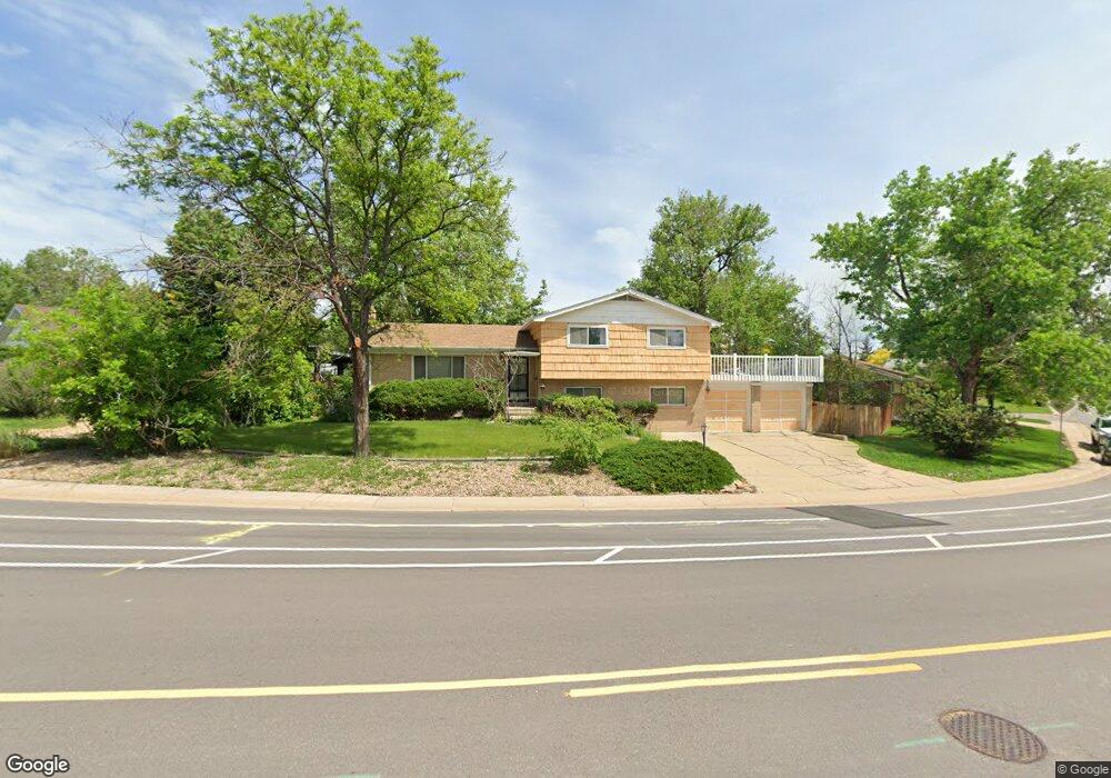
323 Melody Dr Northglenn, CO 80260
Estimated Value: $522,858 - $554,000
3
Beds
3
Baths
2,132
Sq Ft
$252/Sq Ft
Est. Value
About This Home
This home is located at 323 Melody Dr, Northglenn, CO 80260 and is currently estimated at $538,215, approximately $252 per square foot. 323 Melody Dr is a home located in Adams County with nearby schools including North Mor Elementary School, Northglenn Middle School, and Northglenn High School.
Ownership History
Date
Name
Owned For
Owner Type
Purchase Details
Closed on
May 2, 2011
Sold by
Corn Philip B and Corn Anita B
Bought by
Corn Philip B
Current Estimated Value
Home Financials for this Owner
Home Financials are based on the most recent Mortgage that was taken out on this home.
Original Mortgage
$80,000
Interest Rate
4.86%
Mortgage Type
New Conventional
Purchase Details
Closed on
Oct 26, 1998
Sold by
Corn Philip B
Bought by
Corn Anita B and Corn Philip B
Create a Home Valuation Report for This Property
The Home Valuation Report is an in-depth analysis detailing your home's value as well as a comparison with similar homes in the area
Home Values in the Area
Average Home Value in this Area
Purchase History
| Date | Buyer | Sale Price | Title Company |
|---|---|---|---|
| Corn Philip B | -- | Heritage Title | |
| Corn Anita B | -- | -- |
Source: Public Records
Mortgage History
| Date | Status | Borrower | Loan Amount |
|---|---|---|---|
| Closed | Corn Philip B | $80,000 |
Source: Public Records
Tax History Compared to Growth
Tax History
| Year | Tax Paid | Tax Assessment Tax Assessment Total Assessment is a certain percentage of the fair market value that is determined by local assessors to be the total taxable value of land and additions on the property. | Land | Improvement |
|---|---|---|---|---|
| 2024 | $3,175 | $31,750 | $6,690 | $25,060 |
| 2023 | $3,146 | $37,070 | $6,360 | $30,710 |
| 2022 | $2,610 | $26,970 | $6,530 | $20,440 |
| 2021 | $2,610 | $26,970 | $6,530 | $20,440 |
| 2020 | $2,627 | $27,710 | $6,720 | $20,990 |
| 2019 | $2,629 | $27,710 | $6,720 | $20,990 |
| 2018 | $2,016 | $22,570 | $5,900 | $16,670 |
| 2017 | $1,855 | $22,570 | $5,900 | $16,670 |
| 2016 | $1,333 | $18,740 | $3,500 | $15,240 |
| 2015 | $1,330 | $10,790 | $2,020 | $8,770 |
| 2014 | $1,015 | $8,010 | $1,440 | $6,570 |
Source: Public Records
Map
Nearby Homes
- 9708 Covey Ct
- 9917 Clark Dr
- 744 W 99th Ave
- 707 W 96th Ave Unit 2
- 707 W 96th Ave Unit 31
- 707 W 96th Ave Unit 12
- 707 W 96th Ave Unit 5
- 707 W 96th Ave Unit 9
- 9650 Huron St Unit 3
- 9650 Huron St Unit 6
- 864 W 96th Place
- 362 Brigitte Dr
- 9508 Lou Dr
- 9463 Lou Dr
- 8881 Huron St
- 865 W 101st Ave
- 1160 W 99th Ave
- 9769 Croke Dr
- 9947 Croke Dr
- 9824 Lane St