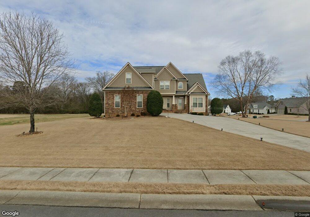
323 Riverboat Dr SW Adairsville, GA 30103
Estimated Value: $477,910 - $565,000
3
Beds
3
Baths
2,917
Sq Ft
$178/Sq Ft
Est. Value
About This Home
This home is located at 323 Riverboat Dr SW, Adairsville, GA 30103 and is currently estimated at $518,728, approximately $177 per square foot. 323 Riverboat Dr SW is a home located in Gordon County with nearby schools including Swain Elementary School, Ashworth Middle School, and Gordon Central High School.
Ownership History
Date
Name
Owned For
Owner Type
Purchase Details
Closed on
Oct 23, 2009
Sold by
C & M Construction Services Inc
Bought by
Kossick Kevin J and Kossick Gwendolyn J
Current Estimated Value
Home Financials for this Owner
Home Financials are based on the most recent Mortgage that was taken out on this home.
Original Mortgage
$208,000
Outstanding Balance
$135,335
Interest Rate
5.01%
Mortgage Type
New Conventional
Estimated Equity
$383,393
Create a Home Valuation Report for This Property
The Home Valuation Report is an in-depth analysis detailing your home's value as well as a comparison with similar homes in the area
Home Values in the Area
Average Home Value in this Area
Purchase History
| Date | Buyer | Sale Price | Title Company |
|---|---|---|---|
| Kossick Kevin J | $260,000 | -- |
Source: Public Records
Mortgage History
| Date | Status | Borrower | Loan Amount |
|---|---|---|---|
| Open | Kossick Kevin J | $208,000 |
Source: Public Records
Tax History Compared to Growth
Tax History
| Year | Tax Paid | Tax Assessment Tax Assessment Total Assessment is a certain percentage of the fair market value that is determined by local assessors to be the total taxable value of land and additions on the property. | Land | Improvement |
|---|---|---|---|---|
| 2024 | $4,039 | $185,440 | $11,760 | $173,680 |
| 2023 | $4,369 | $173,960 | $11,760 | $162,200 |
| 2022 | $4,137 | $155,120 | $11,200 | $143,920 |
| 2021 | $3,640 | $131,920 | $11,200 | $120,720 |
| 2020 | $3,760 | $133,240 | $11,200 | $122,040 |
| 2019 | $3,780 | $133,240 | $11,200 | $122,040 |
| 2018 | $3,517 | $124,120 | $11,200 | $112,920 |
| 2017 | $3,444 | $118,200 | $11,200 | $107,000 |
| 2016 | $3,451 | $118,200 | $11,200 | $107,000 |
| 2015 | $3,427 | $116,320 | $11,200 | $105,120 |
| 2014 | $3,213 | $112,320 | $11,200 | $101,120 |
Source: Public Records
Map
Nearby Homes
- 269 Riverboat Dr
- 365 Riverboat Dr
- Woodridge Plan at The Landing at Miller’s Ferry
- Kensington Plan at The Landing at Miller’s Ferry
- Northwyck Plan at The Landing at Miller’s Ferry
- Richmond Plan at The Landing at Miller’s Ferry
- Brookhaven Plan at The Landing at Miller’s Ferry
- Newport I Plan at The Landing at Miller’s Ferry
- Wesley Plan at The Landing at Miller’s Ferry
- Newport II Plan at The Landing at Miller’s Ferry
- Richardson Plan at The Landing at Miller’s Ferry
- Dewhurst Plan at The Landing at Miller’s Ferry
- 178 Harbor Trail
- 238 Lighthouse Cove SW
- 0 Woody Rd NW Unit 10634615
- 51 Robin Rd
- 315 Woody Rd NW
- 58 Thacker Trail
- 172 Graham Cir
- 166 Graham Cir
- 299 Riverboat Dr
- 299 Riverboat Dr Unit 67
- 0 Mariner Cove Unit LOT 64 7027937
- 00 Mariner Cove
- 0 Mariner Cove Unit 5022482
- 0 Mariner Cove Unit 5091468
- 0 Mariner Cove Unit 8203842
- 135 Mariner Cove Unit 64
- 335 Riverboat Dr
- 135 Mariner Cove SW Unit 64
- 120 Mariner Cove SW
- 337 Riverboat Dr
- 115 Mariner Cove SW Unit 66
- 334 Riverboat Dr SW
- 314 Riverboat Dr SW
- 115 Mariner Cove SW Unit 66
- 115 Mariner Cove SW
- 125 Mariner Cove SW
- 125 Mariner Cove SW Unit 65
- 345 Riverboat Dr SW