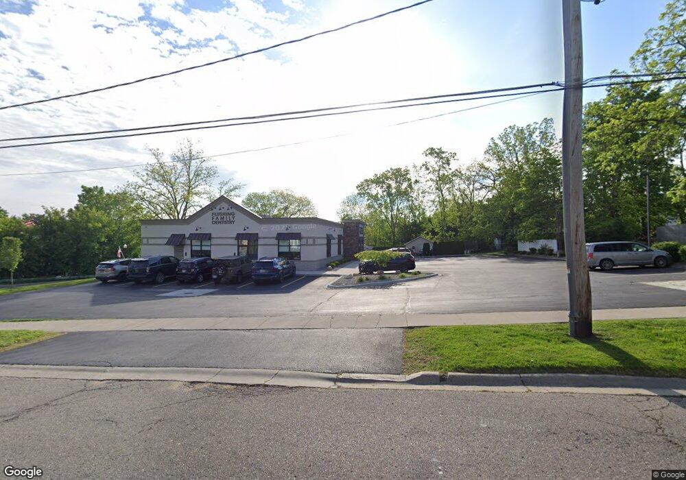
323 W Main St Flushing, MI 48433
Estimated Value: $352,762
--
Bed
--
Bath
1,374
Sq Ft
$257/Sq Ft
Est. Value
About This Home
This home is located at 323 W Main St, Flushing, MI 48433 and is currently estimated at $352,762, approximately $256 per square foot. 323 W Main St is a home located in Genesee County with nearby schools including Seymour Elementary School, Flushing Middle School, and Flushing High School.
Ownership History
Date
Name
Owned For
Owner Type
Purchase Details
Closed on
Mar 7, 2008
Sold by
Heuerman Shumaker Real Estate Llc
Bought by
Sunnyside Real Estate Llc
Current Estimated Value
Purchase Details
Closed on
Sep 26, 2003
Sold by
Wright Kim D and Wright Colleen M
Bought by
Heuerman Shumaker Real Estate Llc
Home Financials for this Owner
Home Financials are based on the most recent Mortgage that was taken out on this home.
Original Mortgage
$407,000
Interest Rate
6.43%
Mortgage Type
Commercial
Purchase Details
Closed on
Aug 6, 2003
Sold by
Genesee Road Associates
Bought by
Wright Kim D and Wright Colleen M
Home Financials for this Owner
Home Financials are based on the most recent Mortgage that was taken out on this home.
Original Mortgage
$407,000
Interest Rate
6.43%
Mortgage Type
Commercial
Create a Home Valuation Report for This Property
The Home Valuation Report is an in-depth analysis detailing your home's value as well as a comparison with similar homes in the area
Home Values in the Area
Average Home Value in this Area
Purchase History
Date | Buyer | Sale Price | Title Company |
---|---|---|---|
Sunnyside Real Estate Llc | $180,000 | Guaranty Title Company | |
Heuerman Shumaker Real Estate Llc | -- | Greco Title | |
Wright Kim D | $100,000 | Greco Title |
Source: Public Records
Mortgage History
Date | Status | Borrower | Loan Amount |
---|---|---|---|
Previous Owner | Heuerman Shumaker Real Estate Llc | $407,000 |
Source: Public Records
Tax History Compared to Growth
Tax History
Year | Tax Paid | Tax Assessment Tax Assessment Total Assessment is a certain percentage of the fair market value that is determined by local assessors to be the total taxable value of land and additions on the property. | Land | Improvement |
---|---|---|---|---|
2024 | -- | $91,400 | $0 | $0 |
2023 | $4,989 | $96,500 | $0 | $0 |
2022 | $5,231 | $95,200 | $0 | $0 |
2021 | $5,231 | $91,400 | $0 | $0 |
2020 | $4,410 | $88,300 | $0 | $0 |
2019 | $4,362 | $83,800 | $0 | $0 |
2018 | $4,898 | $81,900 | $0 | $0 |
2017 | $4,647 | $87,000 | $0 | $0 |
2016 | $4,608 | $74,700 | $0 | $0 |
2015 | $4,939 | $0 | $0 | $0 |
2012 | -- | $81,000 | $28,500 | $52,500 |
Source: Public Records
Map
Nearby Homes
- 217 W Main St
- 212 W Henry St
- 199 Brookside Dr
- 308 N Seymour Rd
- 227 S Mckinley Rd
- 0 W Pierson Rd Unit 100005329
- 0 W Pierson Rd Unit 100005328
- 0 W Pierson Rd Unit 50141989
- 537 Sharon Dr
- 0 E River Rd Unit 50180952
- 0 E River Rd Unit 50178888
- 3470 Longmeadow Dr
- 210 N Hazelton St
- 0 Winters Eave Dr Unit 50117986
- 3462 Woodridge Dr
- 409 Holland Rd
- 422 Old Mill Dr
- 10167 W Pierson Rd
- 6106 E River Rd
- 517 Ashwood Dr