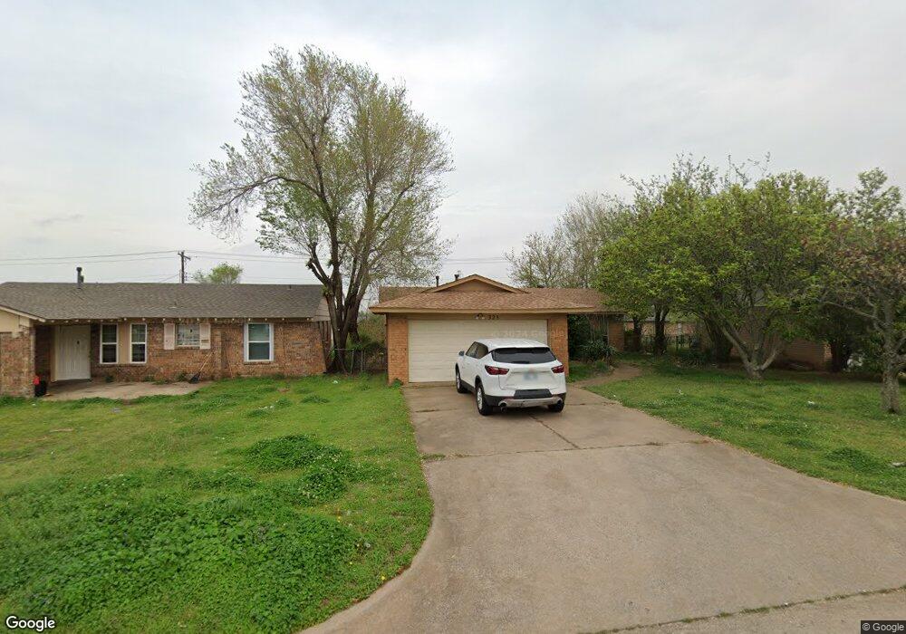
323 W Michael Dr Oklahoma City, OK 73110
Estimated Value: $124,000 - $168,000
3
Beds
2
Baths
1,072
Sq Ft
$130/Sq Ft
Est. Value
About This Home
This home is located at 323 W Michael Dr, Oklahoma City, OK 73110 and is currently estimated at $139,130, approximately $129 per square foot. 323 W Michael Dr is a home located in Oklahoma County with nearby schools including Crutcho Public School and St Philip Neri School.
Ownership History
Date
Name
Owned For
Owner Type
Purchase Details
Closed on
Jul 23, 2008
Sold by
Sephus Elliott Winston
Bought by
Sephus Lana Lakshawn
Current Estimated Value
Purchase Details
Closed on
Dec 14, 2007
Sold by
Berry Dianna and Berry Major
Bought by
Sephus Lana L and Sephus Elliott W
Home Financials for this Owner
Home Financials are based on the most recent Mortgage that was taken out on this home.
Original Mortgage
$59,500
Interest Rate
6.26%
Mortgage Type
Purchase Money Mortgage
Purchase Details
Closed on
Aug 24, 2005
Sold by
Hud
Bought by
Berry Major and Berry Dianna
Home Financials for this Owner
Home Financials are based on the most recent Mortgage that was taken out on this home.
Original Mortgage
$41,850
Interest Rate
5.61%
Mortgage Type
Fannie Mae Freddie Mac
Purchase Details
Closed on
Apr 11, 2005
Sold by
Mcentire Lula E
Bought by
Hud
Create a Home Valuation Report for This Property
The Home Valuation Report is an in-depth analysis detailing your home's value as well as a comparison with similar homes in the area
Home Values in the Area
Average Home Value in this Area
Purchase History
| Date | Buyer | Sale Price | Title Company |
|---|---|---|---|
| Sephus Lana Lakshawn | -- | None Available | |
| Sephus Lana L | $63,000 | Stewart Escrow & Title Midwe | |
| Berry Major | -- | First American Title & Tr Co | |
| Hud | -- | -- |
Source: Public Records
Mortgage History
| Date | Status | Borrower | Loan Amount |
|---|---|---|---|
| Previous Owner | Sephus Lana L | $59,500 | |
| Previous Owner | Berry Major | $41,850 |
Source: Public Records
Tax History Compared to Growth
Tax History
| Year | Tax Paid | Tax Assessment Tax Assessment Total Assessment is a certain percentage of the fair market value that is determined by local assessors to be the total taxable value of land and additions on the property. | Land | Improvement |
|---|---|---|---|---|
| 2024 | $1,015 | $9,502 | $1,304 | $8,198 |
| 2023 | $1,015 | $9,049 | $1,307 | $7,742 |
| 2022 | $982 | $8,618 | $1,081 | $7,537 |
| 2021 | $951 | $8,208 | $1,248 | $6,960 |
| 2020 | $924 | $7,818 | $1,316 | $6,502 |
| 2019 | $864 | $7,446 | $1,324 | $6,122 |
| 2018 | $827 | $7,092 | $0 | $0 |
| 2017 | $775 | $6,753 | $1,283 | $5,470 |
| 2016 | $675 | $6,432 | $1,260 | $5,172 |
| 2015 | $660 | $6,126 | $1,330 | $4,796 |
| 2014 | $632 | $5,833 | $1,412 | $4,421 |
Source: Public Records
Map
Nearby Homes
- 315 W Silverwood Dr
- 304 W Campbell Dr
- 3701 Ridgehaven Dr
- 3620 Ridgehaven Dr
- 3605 Mount Pleasant Dr
- 4213 N Shadybrook Dr
- 4208 N Shadybrook Dr
- 4206 N Shadybrook Dr
- 3909 Rosewood Dr
- 3413 Shadybrook Dr
- 3421 Meadowbrook Dr
- 3409 Shadybrook Dr
- 3803 Penny Dr
- 3609 Sunvalley Dr
- 3601 Rosewood Dr
- 3407 Woodvale Dr
- 112 W Silver Meadow Dr
- 104 W Silver Meadow Dr
- 1025 W Idylwild Dr
- 3307 Mockingbird Ln
- 325 W Michael Dr
- 321 W Michael Dr
- 327 W Michael Dr
- 319 W Michael Dr
- 294 Windsor Way
- 298 Windsor Way
- 329 W Michael Dr
- 317 W Michael Dr
- 290 Windsor Way
- 322 W Michael Dr
- 324 W Michael Dr
- 320 W Michael Dr
- 326 W Michael Dr
- 331 W Michael Dr
- 318 W Michael Dr
- 315 W Michael Dr
- 284 Windsor Way
- 314 Cambridge Dr
- 328 W Michael Dr
- 310 Cambridge Dr