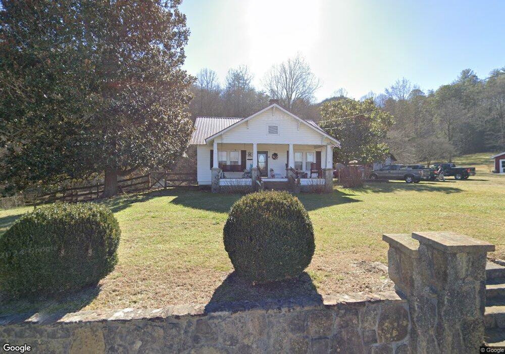
323 Wolffork Rd Rabun Gap, GA 30568
Estimated Value: $324,000 - $461,000
3
Beds
2
Baths
1,878
Sq Ft
$203/Sq Ft
Est. Value
About This Home
This home is located at 323 Wolffork Rd, Rabun Gap, GA 30568 and is currently estimated at $381,490, approximately $203 per square foot. 323 Wolffork Rd is a home located in Rabun County with nearby schools including Rabun County Primary School, Rabun County High School, and Rabun Gap Nacoochee School.
Ownership History
Date
Name
Owned For
Owner Type
Purchase Details
Closed on
Aug 11, 2009
Sold by
Arick Augustus W
Bought by
Arick Augustus William Trsutee
Current Estimated Value
Purchase Details
Closed on
Aug 10, 2009
Sold by
Arick Augustus William
Bought by
Ridgway David N
Purchase Details
Closed on
Sep 29, 2005
Sold by
Cook Carolyn G
Bought by
Arick Augustus and Arick Patricia
Purchase Details
Closed on
Oct 1, 2001
Purchase Details
Closed on
Aug 1, 1994
Create a Home Valuation Report for This Property
The Home Valuation Report is an in-depth analysis detailing your home's value as well as a comparison with similar homes in the area
Home Values in the Area
Average Home Value in this Area
Purchase History
| Date | Buyer | Sale Price | Title Company |
|---|---|---|---|
| Arick Augustus William Trsutee | -- | -- | |
| Arick Augustus William Trsutee | -- | -- | |
| Ridgway David N | $190,000 | -- | |
| Ridgway David N | $190,000 | -- | |
| Arick Augustus | $165,000 | -- | |
| Arick Augustus | $165,000 | -- | |
| -- | $130,000 | -- | |
| -- | $130,000 | -- | |
| -- | $70,100 | -- | |
| -- | $70,100 | -- |
Source: Public Records
Tax History Compared to Growth
Tax History
| Year | Tax Paid | Tax Assessment Tax Assessment Total Assessment is a certain percentage of the fair market value that is determined by local assessors to be the total taxable value of land and additions on the property. | Land | Improvement |
|---|---|---|---|---|
| 2025 | $1,644 | $107,105 | $14,021 | $93,084 |
| 2024 | $1,608 | $102,172 | $14,021 | $88,151 |
| 2023 | $1,634 | $91,282 | $13,196 | $78,086 |
| 2022 | $1,543 | $86,308 | $12,371 | $73,937 |
| 2021 | $1,419 | $77,688 | $11,546 | $66,142 |
| 2020 | $1,355 | $71,848 | $11,546 | $60,302 |
| 2019 | $1,239 | $65,450 | $11,546 | $53,904 |
| 2018 | $1,427 | $74,797 | $11,546 | $63,251 |
| 2017 | $1,369 | $74,797 | $11,546 | $63,251 |
| 2016 | $1,372 | $74,797 | $11,546 | $63,251 |
| 2015 | $1,229 | $65,806 | $11,546 | $54,260 |
| 2014 | $1,235 | $65,806 | $11,546 | $54,260 |
Source: Public Records
Map
Nearby Homes
- 52 Lucky Ln
- 0 John Beck Dockins Rd Unit 10606531
- 153 Coleman Heights Ln
- 137 Olds Mountain Peak Rd
- 1422 Wolffork Rd
- 548 Black Rock Mountain Pkwy
- 0 Stella Ln Unit 10485082
- 36 Maple Springs Ln
- 243 Degroff Ln
- 333 Favor
- 0 Black Rock Estates Unit 25 10374676
- 0 Uplander Unit 10628218
- 0 Uplander Unit M181832
- 37 Erwin St
- 173 Blacks Creek Dr
- 0 Green St Unit 10565711
- 46 Clare Ln
- 5192 Wolffork Rd
- 0 Sylvan Lake Dr Unit 47,48 10485897
- 786 Hope Haven Ln
- 244 Hawkeye Trail
- 201 Wolffork Rd
- 4 Lucky Ln
- 0 Boulder Ln Unit LOT 7A 10192724
- 171 John Beck Dockins Rd
- 655 Wolffork Rd
- 209 John Beck Dockins Rd
- 649 Wolffork Rd
- 153 John Beck Dockins Rd
- 259 John Beck Dockins Rd
- 179 John Beck Dockins Rd
- 209 John Beck Dock
- 498 John Beck Dockins Rd
- 337 John Beck Dockins Rd
- 172 John Beck Dockins Rd
- 389 John Beck Dockins Rd
- 236 John Beck Dockins Rd
- 72 Brooks Ln
- 168 John Beck Dockins Rd
- 262 Sherin Dr