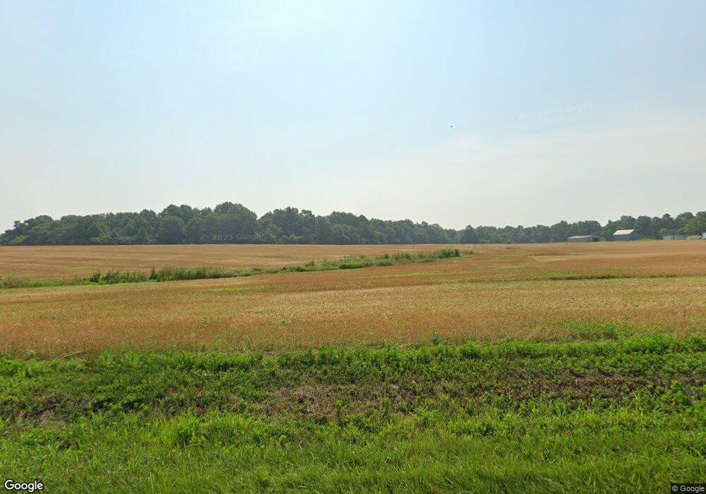
3230 Coal Bank Rd Sharon Grove, KY 42280
Estimated Value: $190,000 - $512,659
2
Beds
1
Bath
1,152
Sq Ft
$305/Sq Ft
Est. Value
About This Home
This home is located at 3230 Coal Bank Rd, Sharon Grove, KY 42280 and is currently estimated at $351,330, approximately $304 per square foot. 3230 Coal Bank Rd is a home located in Todd County with nearby schools including Todd County Middle School and Todd County Central High School.
Ownership History
Date
Name
Owned For
Owner Type
Purchase Details
Closed on
Jan 28, 2021
Sold by
Potter Carolyn and Potter Joseph A
Bought by
Alexander Casey Duane and Alexander Krista N
Current Estimated Value
Home Financials for this Owner
Home Financials are based on the most recent Mortgage that was taken out on this home.
Original Mortgage
$414,400
Interest Rate
3.45%
Mortgage Type
New Conventional
Purchase Details
Closed on
Feb 1, 1996
Bought by
Rainwater Dallas
Create a Home Valuation Report for This Property
The Home Valuation Report is an in-depth analysis detailing your home's value as well as a comparison with similar homes in the area
Home Values in the Area
Average Home Value in this Area
Purchase History
| Date | Buyer | Sale Price | Title Company |
|---|---|---|---|
| Alexander Casey Duane | $400,000 | Clark Title | |
| Rainwater Dallas | $33,700 | -- |
Source: Public Records
Mortgage History
| Date | Status | Borrower | Loan Amount |
|---|---|---|---|
| Previous Owner | Alexander Casey Duane | $414,400 |
Source: Public Records
Tax History Compared to Growth
Tax History
| Year | Tax Paid | Tax Assessment Tax Assessment Total Assessment is a certain percentage of the fair market value that is determined by local assessors to be the total taxable value of land and additions on the property. | Land | Improvement |
|---|---|---|---|---|
| 2024 | $430 | $50,656 | $0 | $0 |
| 2023 | $433 | $50,656 | $0 | $0 |
| 2022 | $427 | $50,656 | $0 | $0 |
| 2021 | $435 | $51,496 | $0 | $0 |
| 2020 | $435 | $51,496 | $0 | $0 |
| 2019 | $432 | $51,496 | $0 | $0 |
| 2018 | $417 | $51,496 | $0 | $0 |
| 2017 | $417 | $51,496 | $0 | $0 |
| 2016 | $117 | $51,496 | $34,216 | $17,280 |
| 2015 | -- | $51,496 | $0 | $17,280 |
| 2013 | -- | $187,576 | $0 | $0 |
Source: Public Records
Map
Nearby Homes
- 0 Roe Rd
- 2524 Mount Sharon Rd
- 6719 Sharon Grove Rd
- 8275 Greenville Rd
- 1120 Antioch Church Rd
- 91 Phillips Rd
- 51 Phillips Rd
- 5607 Greenville Rd
- 53 Edwards Ln
- 13486 Greenville Rd
- 4979 Spa Rd
- 0 New Hwy 68 W Unit 40455
- 0 Green Ridge Spa Rd Unit Tract 2A
- 0 Green Ridge Spa Rd Unit Tract 2A RA20255509
- 0 Green Ridge Spa Rd Unit Tract 2A RA20246074
- 4750 Greenville Rd
- 0 Todd Deer Lick Rd
- 0 Allegre Rd
- 59 M Hall Rd
- 305 Squires Groves Rd
- 4000 Coal Bank Rd
- 000 Coal Bank Rd
- 00 Coal Bank Rd
- 3001 Coal Bank Rd
- 5505 Coal Bank Rd
- 5458 Coal Bank Rd
- 3595 Coal Bank Rd
- 352 Scott Rd
- 1205 White Rd
- 1008 White Rd
- 249 Hall Rd
- 2899 Coal Bank Rd
- 2899 Coal Bank Rd
- 4075 Coal Bank Rd
- 1005 White Rd
- 3848 Coal Bank Rd
- 878 White Rd
- 911 White Rd
- 1973 Coal Bank Rd
- 2555 Coal Bank Rd
