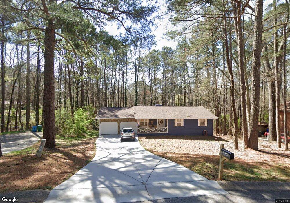
3230 Vail Ct Unit 3 Snellville, GA 30078
Estimated Value: $314,526 - $355,000
3
Beds
2
Baths
1,166
Sq Ft
$290/Sq Ft
Est. Value
About This Home
This home is located at 3230 Vail Ct Unit 3, Snellville, GA 30078 and is currently estimated at $338,382, approximately $290 per square foot. 3230 Vail Ct Unit 3 is a home located in Gwinnett County with nearby schools including Brookwood Elementary School, Five Forks Middle School, and Brookwood High School.
Ownership History
Date
Name
Owned For
Owner Type
Purchase Details
Closed on
Nov 5, 1998
Sold by
Wardell Thomas
Bought by
Wardell Thomas and Wardell Susan B
Current Estimated Value
Home Financials for this Owner
Home Financials are based on the most recent Mortgage that was taken out on this home.
Original Mortgage
$55,500
Outstanding Balance
$11,415
Interest Rate
6.47%
Mortgage Type
New Conventional
Estimated Equity
$326,967
Purchase Details
Closed on
Sep 20, 1995
Sold by
Kenat Carole A
Bought by
Wardell Thomas
Create a Home Valuation Report for This Property
The Home Valuation Report is an in-depth analysis detailing your home's value as well as a comparison with similar homes in the area
Home Values in the Area
Average Home Value in this Area
Purchase History
| Date | Buyer | Sale Price | Title Company |
|---|---|---|---|
| Wardell Thomas | -- | -- | |
| Wardell Thomas | $81,000 | -- |
Source: Public Records
Mortgage History
| Date | Status | Borrower | Loan Amount |
|---|---|---|---|
| Open | Wardell Thomas | $55,500 | |
| Closed | Wardell Thomas | $0 |
Source: Public Records
Tax History Compared to Growth
Tax History
| Year | Tax Paid | Tax Assessment Tax Assessment Total Assessment is a certain percentage of the fair market value that is determined by local assessors to be the total taxable value of land and additions on the property. | Land | Improvement |
|---|---|---|---|---|
| 2025 | $1,383 | $142,840 | $22,200 | $120,640 |
| 2024 | $1,382 | $132,120 | $22,200 | $109,920 |
| 2023 | $1,382 | $124,120 | $26,400 | $97,720 |
| 2022 | $3,572 | $108,800 | $23,600 | $85,200 |
| 2021 | $3,264 | $81,520 | $18,400 | $63,120 |
| 2020 | $3,094 | $76,360 | $16,000 | $60,360 |
| 2019 | $987 | $19,280 | $13,600 | $5,680 |
| 2018 | $2,582 | $65,000 | $13,600 | $51,400 |
| 2016 | $2,208 | $53,800 | $11,600 | $42,200 |
| 2015 | $1,916 | $44,960 | $9,200 | $35,760 |
| 2014 | -- | $44,960 | $9,200 | $35,760 |
Source: Public Records
Map
Nearby Homes
- 3207 Aspen Cir SW
- 3063 Bruckner Blvd
- 1721 Bruckner Ct
- 1904 Britt Dr
- 1845 Lisa Springs Dr
- 1795 Elmwood Cir
- 3173 Falconhurst Dr SW
- Kenwood Plan at Watson Park
- Stockbridge Plan at Watson Park
- Aiken Plan at Watson Park
- Lawrence Plan at Watson Park
- Easton Plan at Watson Park
- 1916 Oakwood Grove Dr Unit 1
- 3331 Manchester Dr SW
- 2034 Britt Dr
- 2350 Action Way
- 1953 Watson Park Dr
- 2167 Foley Park St
- 2286 Foley Park St
- 1893 Hedgestone Ct
- 3220 Vail Ct
- 3240 Vail Ct
- 3258 Aspen Cir
- 3278 Aspen Cir
- 3250 Vail Ct
- 3219 Vail Ct
- 3210 Vail Ct
- 3259 Vail Ct SW
- 3248 Aspen Cir
- 3259 Vail Ct
- 3223 Bruckner Blvd
- 3200 Vail Ct
- 3199 Vail Ct Unit 3
- 3239 Vail Ct Unit 3
- 3238 Aspen Cir Unit 3
- 3213 Bruckner Blvd
- 3228 Aspen Cir
- 3218 Aspen Cir Unit 3
- 1727 Lead Place Unit 3
- 3203 Bruckner Blvd