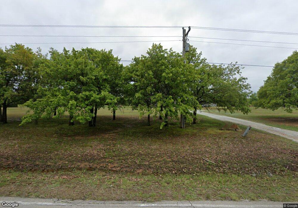
32301 Homer Lane Rd Shawnee, OK 74801
Estimated Value: $292,000 - $376,000
3
Beds
2
Baths
1,548
Sq Ft
$203/Sq Ft
Est. Value
About This Home
This home is located at 32301 Homer Lane Rd, Shawnee, OK 74801 and is currently estimated at $313,991, approximately $202 per square foot. 32301 Homer Lane Rd is a home located in Pottawatomie County with nearby schools including Dale Elementary School, Dale Middle School, and Dale High School.
Ownership History
Date
Name
Owned For
Owner Type
Purchase Details
Closed on
Oct 23, 2024
Sold by
Loman James Floyd and Loman Pamela Sue
Bought by
Loman Dylan
Current Estimated Value
Home Financials for this Owner
Home Financials are based on the most recent Mortgage that was taken out on this home.
Original Mortgage
$124,500
Outstanding Balance
$123,125
Interest Rate
6.09%
Mortgage Type
New Conventional
Estimated Equity
$190,866
Purchase Details
Closed on
Dec 16, 1999
Sold by
Little Billy and Little Melinda
Bought by
Loman James and Loman Pamela
Create a Home Valuation Report for This Property
The Home Valuation Report is an in-depth analysis detailing your home's value as well as a comparison with similar homes in the area
Home Values in the Area
Average Home Value in this Area
Purchase History
| Date | Buyer | Sale Price | Title Company |
|---|---|---|---|
| Loman Dylan | $279,000 | First American Title Insurance | |
| Loman James | $88,000 | -- |
Source: Public Records
Mortgage History
| Date | Status | Borrower | Loan Amount |
|---|---|---|---|
| Open | Loman Dylan | $124,500 |
Source: Public Records
Tax History Compared to Growth
Tax History
| Year | Tax Paid | Tax Assessment Tax Assessment Total Assessment is a certain percentage of the fair market value that is determined by local assessors to be the total taxable value of land and additions on the property. | Land | Improvement |
|---|---|---|---|---|
| 2024 | $1,597 | $15,548 | $1,959 | $13,589 |
| 2023 | $1,597 | $15,096 | $1,859 | $13,237 |
| 2022 | $1,402 | $14,656 | $1,803 | $12,853 |
| 2021 | $1,491 | $14,656 | $1,803 | $12,853 |
| 2020 | $1,444 | $13,814 | $1,695 | $12,119 |
| 2019 | $1,452 | $13,412 | $1,605 | $11,807 |
| 2018 | $1,392 | $13,022 | $1,529 | $11,493 |
| 2017 | $1,300 | $12,642 | $1,464 | $11,178 |
| 2016 | $1,103 | $12,274 | $1,405 | $10,869 |
| 2015 | $1,054 | $11,916 | $1,506 | $10,410 |
| 2014 | $1,021 | $11,570 | $1,488 | $10,082 |
Source: Public Records
Map
Nearby Homes
- 16244 Patterson Rd
- 32504 Pecan Grove Rd
- 16 Post Office Ln
- 0 May Addition Rd Unit 1195332
- 31 Amber Ridge
- 210 Amber Ridge
- 118 Savannah Square
- 189 Terry Ln
- 112 Overland Ct
- 104 Overland Ct
- 103 Valley Rim Ct
- RC Wright Plan at Blackberry Ridge
- RC Foster II Plan at Blackberry Ridge
- 13434 Huckleberry Ln
- RC Kinsley II Plan at Blackberry Ridge
- RC Raleigh Plan at Blackberry Ridge
- TBD Blackberry Ridge
- 31097 Elderberry Dr
- RC Lowell II Plan at Blackberry Ridge
- RC Coleman Plan at Blackberry Ridge
- 32407 Homer Lane Rd
- 32215 Homer Lane Rd
- 32911 Homer Lane Rd
- 32209 Homer Lane Rd
- 32408 Homer Lane Rd
- 32504 Homer Lane Rd
- 32105 Homer Lane Rd
- 15203 Patterson Rd
- 32608 Homer Lane Rd
- 32410 Homer Lane Rd
- 32001 Homer Lane Rd
- 32414 Homer Lane Rd
- 32414 Homer Lane Rd
- 15305 Patterson Rd
- 15309 Perry Rd
- 15405 Perry Rd
- 15305 Perry Rd
- 0 Patterson Rd Unit 1075831
- 0 Patterson Rd Unit 1048728
