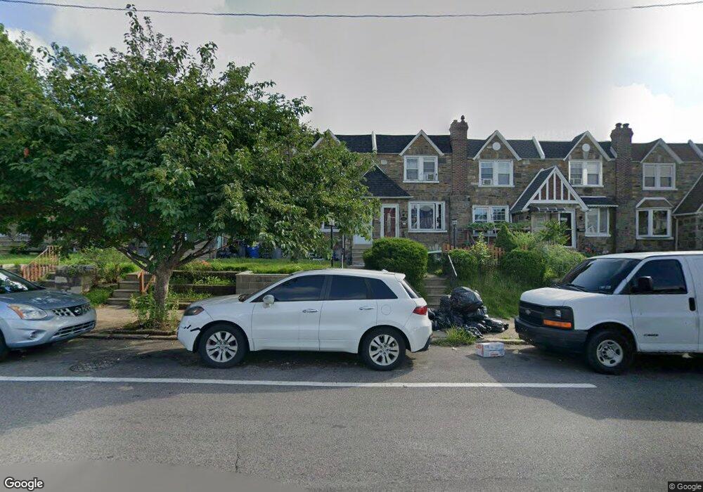
3231 Longshore Ave Philadelphia, PA 19149
Mayfair NeighborhoodEstimated Value: $283,484 - $298,000
3
Beds
1
Bath
1,440
Sq Ft
$201/Sq Ft
Est. Value
About This Home
This home is located at 3231 Longshore Ave, Philadelphia, PA 19149 and is currently estimated at $288,871, approximately $200 per square foot. 3231 Longshore Ave is a home located in Philadelphia County with nearby schools including Lincoln High School, Mayfair Elementary School, and Keystone Academy Charter School.
Ownership History
Date
Name
Owned For
Owner Type
Purchase Details
Closed on
Nov 21, 2023
Sold by
Wilson Gregg David
Bought by
Liu Xunbing
Current Estimated Value
Home Financials for this Owner
Home Financials are based on the most recent Mortgage that was taken out on this home.
Original Mortgage
$218,400
Outstanding Balance
$214,797
Interest Rate
7.79%
Mortgage Type
New Conventional
Estimated Equity
$74,074
Purchase Details
Closed on
Jun 28, 1999
Sold by
Golderer Cecilia Markey
Bought by
Degregorio Robert
Create a Home Valuation Report for This Property
The Home Valuation Report is an in-depth analysis detailing your home's value as well as a comparison with similar homes in the area
Home Values in the Area
Average Home Value in this Area
Purchase History
| Date | Buyer | Sale Price | Title Company |
|---|---|---|---|
| Liu Xunbing | $273,000 | None Listed On Document | |
| Degregorio Robert | $67,000 | -- |
Source: Public Records
Mortgage History
| Date | Status | Borrower | Loan Amount |
|---|---|---|---|
| Open | Liu Xunbing | $218,400 |
Source: Public Records
Tax History Compared to Growth
Tax History
| Year | Tax Paid | Tax Assessment Tax Assessment Total Assessment is a certain percentage of the fair market value that is determined by local assessors to be the total taxable value of land and additions on the property. | Land | Improvement |
|---|---|---|---|---|
| 2025 | $3,372 | $294,000 | $58,800 | $235,200 |
| 2024 | $3,372 | $294,000 | $58,800 | $235,200 |
| 2023 | $3,372 | $240,900 | $48,180 | $192,720 |
| 2022 | $1,753 | $195,900 | $48,180 | $147,720 |
| 2021 | $2,382 | $0 | $0 | $0 |
| 2020 | $2,382 | $0 | $0 | $0 |
| 2019 | $2,286 | $0 | $0 | $0 |
| 2018 | $2,016 | $0 | $0 | $0 |
| 2017 | $2,016 | $0 | $0 | $0 |
| 2016 | $1,596 | $0 | $0 | $0 |
| 2015 | $1,528 | $0 | $0 | $0 |
| 2014 | -- | $144,000 | $27,165 | $116,835 |
| 2012 | -- | $18,432 | $1,920 | $16,512 |
Source: Public Records
Map
Nearby Homes
- 3152 Disston St
- 3234 Disston St
- 3254 Longshore Ave
- 3132 Glenview St
- 3311 Disston St
- 3107 Glenview St
- 3204 Brighton St
- 3324 Longshore Ave
- 3127 Knorr St
- 3316 Glenview St
- 3333 Disston St
- 3335 Disston St
- 3328 Glenview St
- 3346 Longshore Ave
- 3221 Brighton St
- 3308 Brighton St
- 3127 Brighton St
- 3345 Tyson Ave
- 3330 Brighton St
- 3117 Brighton St
- 3233 Longshore Ave
- 3229 Longshore Ave
- 3235 Longshore Ave
- 3227 Longshore Ave
- 3237 Longshore Ave
- 3225 Longshore Ave
- 3239 Longshore Ave
- 3241 Longshore Ave
- 3221 Longshore Ave
- 3243 Longshore Ave
- 3219 Longshore Ave
- 3226 Disston St
- 3224 Disston St
- 3230 Disston St
- 3245 Longshore Ave
- 3228 Disston St
- 3217 Longshore Ave
- 3232 Disston St
- 3222 Disston St
- 3220 Disston St