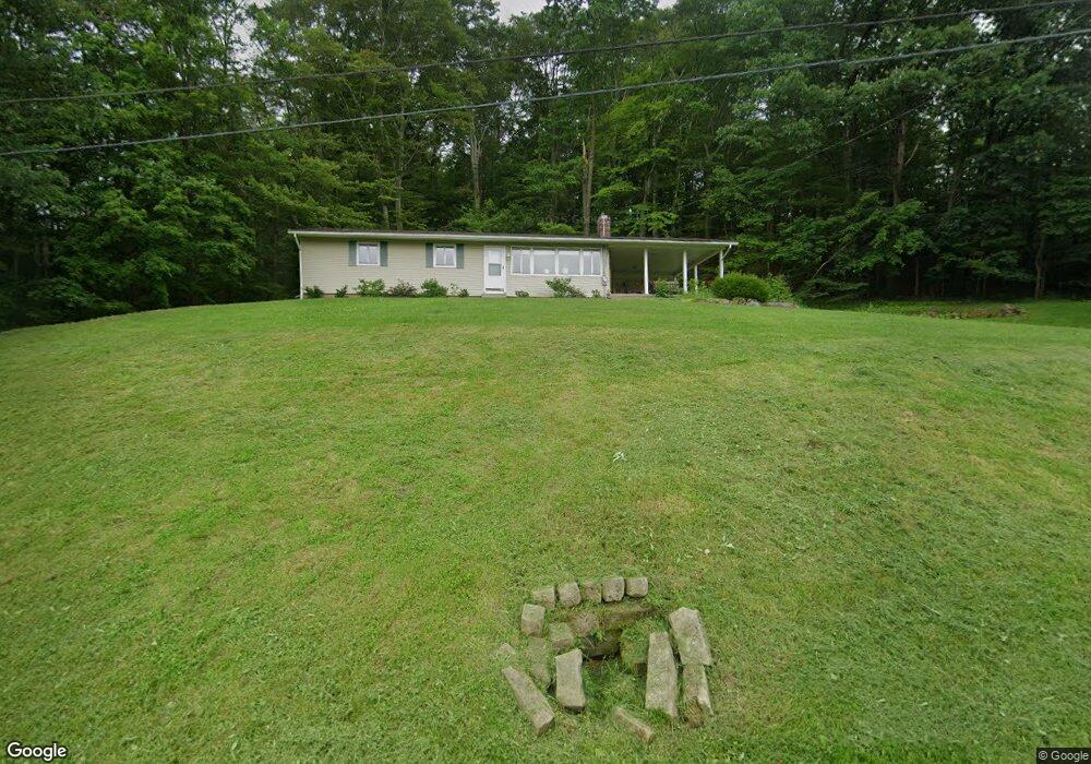
3234 University Dr SE New Philadelphia, OH 44663
Estimated Value: $142,000 - $247,000
3
Beds
2
Baths
1,152
Sq Ft
$158/Sq Ft
Est. Value
About This Home
This home is located at 3234 University Dr SE, New Philadelphia, OH 44663 and is currently estimated at $181,880, approximately $157 per square foot. 3234 University Dr SE is a home located in Tuscarawas County with nearby schools including New Philadelphia High School and Tuscarawas Central Catholic Junior/Senior High School.
Ownership History
Date
Name
Owned For
Owner Type
Purchase Details
Closed on
Sep 23, 2021
Sold by
Demuth Adam R
Bought by
Ham Hock Enterprises Llc
Current Estimated Value
Purchase Details
Closed on
Dec 23, 2008
Sold by
Andres Frances E
Bought by
Demuth Adam R
Home Financials for this Owner
Home Financials are based on the most recent Mortgage that was taken out on this home.
Original Mortgage
$68,000
Interest Rate
6.19%
Mortgage Type
Purchase Money Mortgage
Create a Home Valuation Report for This Property
The Home Valuation Report is an in-depth analysis detailing your home's value as well as a comparison with similar homes in the area
Home Values in the Area
Average Home Value in this Area
Purchase History
| Date | Buyer | Sale Price | Title Company |
|---|---|---|---|
| Ham Hock Enterprises Llc | $35,000 | Connolly Hillyer & Welch Ttl | |
| Demuth Adam R | $80,000 | None Available |
Source: Public Records
Mortgage History
| Date | Status | Borrower | Loan Amount |
|---|---|---|---|
| Previous Owner | Demuth Adam R | $68,000 |
Source: Public Records
Tax History Compared to Growth
Tax History
| Year | Tax Paid | Tax Assessment Tax Assessment Total Assessment is a certain percentage of the fair market value that is determined by local assessors to be the total taxable value of land and additions on the property. | Land | Improvement |
|---|---|---|---|---|
| 2024 | $1,459 | $36,340 | $12,250 | $24,090 |
| 2023 | $1,459 | $103,830 | $35,000 | $68,830 |
| 2022 | $1,470 | $36,341 | $12,250 | $24,091 |
| 2021 | $1,388 | $33,223 | $12,548 | $20,675 |
| 2020 | $1,395 | $33,223 | $12,548 | $20,675 |
| 2019 | $1,394 | $33,223 | $12,548 | $20,675 |
| 2018 | $1,238 | $28,040 | $10,590 | $17,450 |
| 2017 | $1,228 | $28,040 | $10,590 | $17,450 |
| 2016 | $1,229 | $28,040 | $10,590 | $17,450 |
| 2014 | $1,196 | $25,430 | $6,140 | $19,290 |
| 2013 | $996 | $25,430 | $6,140 | $19,290 |
Source: Public Records
Map
Nearby Homes
- 2006 Buckeye St NE
- 247 Kent Cir NE
- 221 Sea Gull Dr SE
- 1892 Roxford St
- 1734 Barnhill Rd
- 641 Crider Ave NE
- 0 Goshen Hill Rd SE
- 1728 Tall Timber Rd NE
- 2709 Backwater Rd SE
- 1451 Ridge Rd NE
- 1577 State Route 39 NE
- 231 4th St SE
- 4711 Broadway
- 451 Mill Ave SE
- 1224 Goshen Ave SE
- 428 Kaserman Ave NE
- 0 Royal St
- 1273 Concord Cir SE
- 2923 Brightwood Rd SE
- 0 Vernon St Unit 5009296
- 3256 University Dr SE
- 3174 University Dr SE
- 3174 University Dr SE
- 3222 University Dr SE
- 3165 University Dr SE
- 3138 University Dr SE
- 3141 University Dr SE
- 3105 University Dr SE
- 3350 University Dr SE
- 3117 University Dr SE
- 3096 University Dr SE
- 3356 University Dr SE
- 3382 University Dr SE
- 3071 University Dr SE
- 3078 University Dr SE
- 3054 University Dr SE
- 881 Clearview Dr SE
- 3024 University Dr SE
- 900 Clearview Dr SE
- 900 Clearview Dr SE