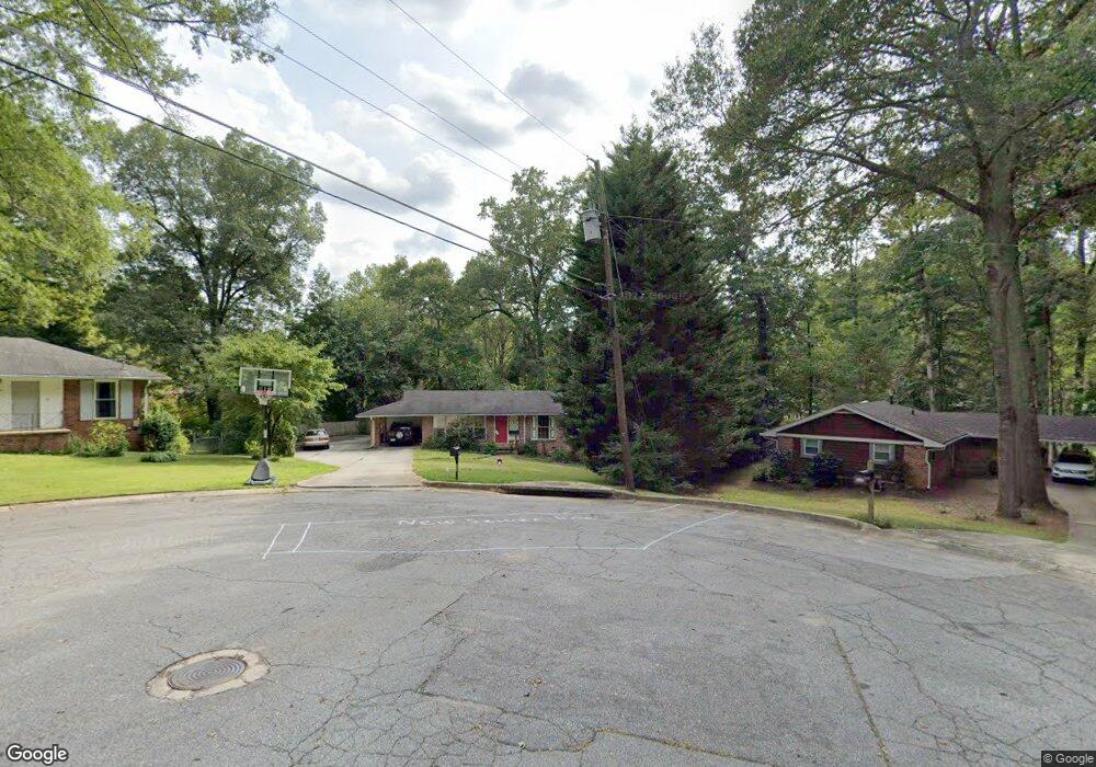
3235 W Castle Ct Unit 1 Decatur, GA 30033
Lindmoor Woods-Valley Brook Estates NeighborhoodEstimated Value: $435,556 - $505,000
3
Beds
3
Baths
1,323
Sq Ft
$347/Sq Ft
Est. Value
About This Home
This home is located at 3235 W Castle Ct Unit 1, Decatur, GA 30033 and is currently estimated at $459,639, approximately $347 per square foot. 3235 W Castle Ct Unit 1 is a home located in DeKalb County with nearby schools including Laurel Ridge Elementary School, Druid Hills Middle School, and Druid Hills High School.
Ownership History
Date
Name
Owned For
Owner Type
Purchase Details
Closed on
Oct 23, 2009
Sold by
Hailey Jim R
Bought by
Hailey James R and Hailey Brenda C
Current Estimated Value
Home Financials for this Owner
Home Financials are based on the most recent Mortgage that was taken out on this home.
Original Mortgage
$62,500
Outstanding Balance
$40,665
Interest Rate
5.01%
Mortgage Type
New Conventional
Estimated Equity
$418,974
Purchase Details
Closed on
Nov 15, 1995
Sold by
Correro Michael D Angela K
Bought by
Hailey Jim R
Create a Home Valuation Report for This Property
The Home Valuation Report is an in-depth analysis detailing your home's value as well as a comparison with similar homes in the area
Home Values in the Area
Average Home Value in this Area
Purchase History
| Date | Buyer | Sale Price | Title Company |
|---|---|---|---|
| Hailey James R | -- | -- | |
| Hailey Jim R | $121,000 | -- |
Source: Public Records
Mortgage History
| Date | Status | Borrower | Loan Amount |
|---|---|---|---|
| Open | Hailey James R | $62,500 | |
| Closed | Hailey Jim R | $0 |
Source: Public Records
Tax History Compared to Growth
Tax History
| Year | Tax Paid | Tax Assessment Tax Assessment Total Assessment is a certain percentage of the fair market value that is determined by local assessors to be the total taxable value of land and additions on the property. | Land | Improvement |
|---|---|---|---|---|
| 2024 | $4,679 | $158,400 | $38,720 | $119,680 |
| 2023 | $4,679 | $143,320 | $38,720 | $104,600 |
| 2022 | $3,913 | $126,760 | $38,080 | $88,680 |
| 2021 | $3,627 | $114,360 | $38,000 | $76,360 |
| 2020 | $3,465 | $107,120 | $38,000 | $69,120 |
| 2019 | $3,481 | $109,360 | $38,000 | $71,360 |
| 2018 | $2,946 | $98,000 | $38,000 | $60,000 |
| 2017 | $3,382 | $99,920 | $19,080 | $80,840 |
| 2016 | $2,928 | $86,840 | $19,080 | $67,760 |
| 2014 | $2,582 | $77,400 | $19,080 | $58,320 |
Source: Public Records
Map
Nearby Homes
- 3194 Rehoboth Dr
- 1523 Delia Dr
- 3214 Valaire Dr Unit 2
- 1402 Mclendon Dr
- 1280 Sanden Ferry Dr
- 1231 Sanden Ferry Dr
- 1245 Mclendon Dr
- 3086 Frazier Walk
- 1112 Mayfield Dr
- 3107 Turman Cir
- 3069 Dove Way
- 3068 Anthony Dr
- 3084 Turman Cir
- 3119 Windfield Cir
- 3080 Turman Cir
- 1300 Hopkins Dr
- 2427 Lawrenceville Hwy Unit 4
- 3234 W Castle Ct
- 3241 W Castle Ct
- W W Castle Ct
- 3242 Rehoboth Dr
- 3248 Rehoboth Dr
- 3236 Rehoboth Dr
- 1598 Delia Dr
- 3240 W Castle Ct Unit 1
- 1592 Delia Dr
- 3248 W Castle Ct
- 3254 Rehoboth Dr
- 3228 Rehoboth Dr
- 1369 Linkwood Ln
- 1377 Linkwood Ln
- 1586 Delia Dr
- 1614 Delia Dr
- 1385 Linkwood Ln
- 1580 Delia Dr
- 1572 Delia Dr
- 3218 Rehoboth Dr