Estimated Value: $162,138 - $302,000
2
Beds
1
Bath
624
Sq Ft
$372/Sq Ft
Est. Value
About This Home
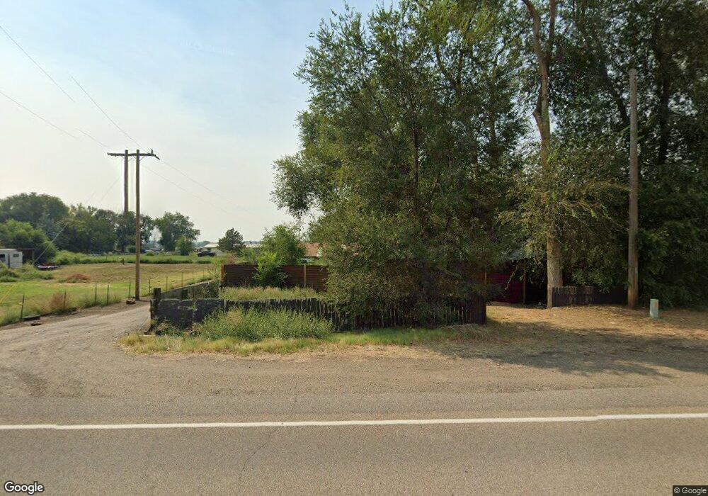
This home is located at 3237 Highway 201, Nyssa, OR 97913 and is currently estimated at $232,069, approximately $371 per square foot. 3237 Highway 201 is a home located in Malheur County with nearby schools including Nyssa Elementary School, Nyssa Middle School, and Nyssa High School.
Ownership History
Date
Name
Owned For
Owner Type
Purchase Details
Closed on
Mar 9, 2017
Sold by
Jewell Steven and Jewell Kimberly
Bought by
Sanders Robert Alan and Sanders Lisa Lynne
Current Estimated Value
Purchase Details
Closed on
Nov 19, 2008
Sold by
Mckenzie Dan L and Mckenzie Barbara Jean
Bought by
Jewell Steven and Jewell Kimberly
Home Financials for this Owner
Home Financials are based on the most recent Mortgage that was taken out on this home.
Original Mortgage
$45,000
Interest Rate
6.37%
Mortgage Type
Seller Take Back
Purchase Details
Closed on
Mar 6, 2003
Sold by
Bird Lloyd Wayne
Bought by
Mckenzie Dan L and Mckenzie Barbara Jean
Create a Home Valuation Report for This Property
The Home Valuation Report is an in-depth analysis detailing your home's value as well as a comparison with similar homes in the area
Home Values in the Area
Average Home Value in this Area
Purchase History
| Date | Buyer | Sale Price | Title Company |
|---|---|---|---|
| Sanders Robert Alan | $41,000 | Maiheur County Title Company | |
| Jewell Steven | $55,000 | -- | |
| Mckenzie Dan L | $20,000 | -- |
Source: Public Records
Mortgage History
| Date | Status | Borrower | Loan Amount |
|---|---|---|---|
| Previous Owner | Jewell Steven | $45,000 |
Source: Public Records
Tax History Compared to Growth
Tax History
| Year | Tax Paid | Tax Assessment Tax Assessment Total Assessment is a certain percentage of the fair market value that is determined by local assessors to be the total taxable value of land and additions on the property. | Land | Improvement |
|---|---|---|---|---|
| 2025 | $733 | $49,286 | $18,788 | $30,498 |
| 2024 | $722 | $47,851 | $20,049 | $27,802 |
| 2023 | $710 | $46,458 | $18,224 | $28,234 |
| 2022 | $710 | $45,105 | $18,580 | $26,525 |
| 2021 | $701 | $43,792 | $17,252 | $26,540 |
| 2020 | $562 | $34,475 | $17,879 | $16,596 |
| 2019 | $550 | $33,471 | $19,339 | $14,132 |
| 2018 | $535 | $32,497 | $18,776 | $13,721 |
| 2017 | $498 | $31,551 | $18,384 | $13,167 |
| 2016 | $504 | $30,633 | $16,793 | $13,840 |
| 2015 | $440 | $29,741 | $15,725 | $14,016 |
| 2014 | $486 | $28,875 | $14,858 | $14,017 |
Source: Public Records
Map
Nearby Homes
- 3239 Highway 201
- 3229 Highway 201
- 3244 Highway 201
- 3255 Oregon 201
- 3255 Highway 201
- 3231 Oregon 201
- 3231 Highway 201
- 3260 Highway 201
- 3227 Highway 201
- 3261 Highway 201
- 3275 Highway 201
- 3275 Oregon 201
- 3225 Highway 201
- 3211 Highway 201
- 3207 Highway 201
- 3205 Highway 201
- 3280 Highway 201
- 3223 Highway 201
- 512 Columbia Ave
- 504 Columbia Ave