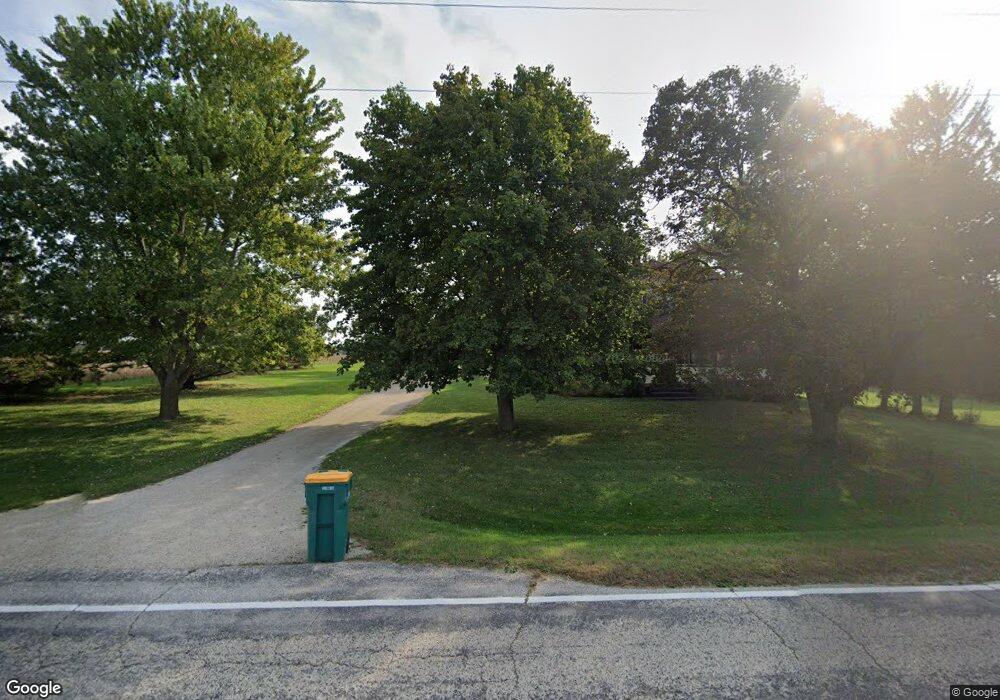
3238 S Mayfield Rd Jackson, WI 53037
Estimated Value: $431,066 - $570,000
Studio
--
Bath
--
Sq Ft
5.01
Acres Lot
About This Home
This home is located at 3238 S Mayfield Rd, Jackson, WI 53037 and is currently estimated at $488,767. 3238 S Mayfield Rd is a home located in Washington County with nearby schools including Slinger High School.
Ownership History
Date
Name
Owned For
Owner Type
Purchase Details
Closed on
Mar 30, 2017
Sold by
Wallschlaeger Michael W
Bought by
Wallschlaeger Ann E
Current Estimated Value
Home Financials for this Owner
Home Financials are based on the most recent Mortgage that was taken out on this home.
Original Mortgage
$50,000
Interest Rate
3.92%
Mortgage Type
New Conventional
Create a Home Valuation Report for This Property
The Home Valuation Report is an in-depth analysis detailing your home's value as well as a comparison with similar homes in the area
Home Values in the Area
Average Home Value in this Area
Purchase History
We collect this data history from publicly available records. To have your information removed, we recommend requesting removal directly through your county’s website.
| Date | Buyer | Sale Price | Title Company |
|---|---|---|---|
| Wallschlaeger Ann E | -- | First American Title Insuran |
Source: Public Records
Mortgage History
We collect this data history from publicly available records. To have your information removed, we recommend requesting removal directly through your county’s website.
| Date | Status | Borrower | Loan Amount |
|---|---|---|---|
| Closed | Wallschlaeger Ann E | $50,000 |
Source: Public Records
Tax History
| Year | Tax Paid | Tax Assessment Tax Assessment Total Assessment is a certain percentage of the fair market value that is determined by local assessors to be the total taxable value of land and additions on the property. | Land | Improvement |
|---|---|---|---|---|
| 2025 | $2,894 | $370,000 | $145,800 | $224,200 |
| 2024 | $2,837 | $370,000 | $145,800 | $224,200 |
| 2023 | $2,564 | $370,000 | $145,800 | $224,200 |
| 2022 | $2,639 | $271,600 | $116,600 | $155,000 |
| 2021 | $2,629 | $271,600 | $116,600 | $155,000 |
| 2020 | $2,682 | $271,600 | $116,600 | $155,000 |
| 2019 | $2,619 | $271,600 | $116,600 | $155,000 |
| 2018 | $2,601 | $249,700 | $110,300 | $139,400 |
| 2017 | $2,687 | $249,700 | $110,300 | $139,400 |
| 2016 | $2,672 | $249,700 | $110,300 | $139,400 |
| 2015 | $2,507 | $240,000 | $106,700 | $133,300 |
| 2014 | $2,507 | $229,200 | $106,700 | $122,500 |
| 2013 | $2,992 | $259,300 | $118,900 | $140,400 |
Source: Public Records
Map
Nearby Homes
- W218N16022 Tiger Lily Dr
- 3790 Sherman Rd
- W219N16225 Primrose Ct
- N162W21836 Poppy Rd
- N162W21835 Poppy Rd
- N162W21849 Poppy Rd
- 3555 County Highway P
- N168W22228 Main St
- 4510 County Highway P
- N168W21873 Main St
- 2517 Mayfield Way
- N161W20771 Kami Ln
- N168W21700 Main St Unit 41
- W206N16182 Stonebrook Dr
- W210N16600 Glencoe Ln
- W206N16178 Stonebrook Dr
- W206N16159 Stonebrook Dr
- Lt1 State Road 60
- 3491 Cumberland Trail
- 3815 Densmore Ct
- 3265 S Mayfield Rd
- 3213 S Mayfield Rd
- 3285 S Mayfield Rd
- 3198 S Mayfield Rd
- 3178 S Mayfield Rd
- 3178 S Mayfield Rd
- 3335 Sherman Rd
- 3351 S Mayfield Rd
- 3149 S Mayfield Rd
- 3389 Sherman Rd
- 3366 S Mayfield Rd
- 3110 S Mayfield Rd
- 3463 Sherman Rd
- 3471 Sherman Rd
- 3470 Sherman Rd
- 3479 Sherman Rd
- 3061 S Mayfield Rd
- 3487 Sherman Rd
- 3495 Sherman Rd
- 3040 S Mayfield Rd
Your Personal Tour Guide
Ask me questions while you tour the home.