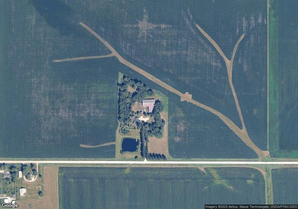
3239 E Big Rock Rd Waterloo, IA 50703
Estimated Value: $264,000 - $765,218
About This Home
This home is located at 3239 E Big Rock Rd, Waterloo, IA 50703 and is currently estimated at $495,073, approximately $180 per square foot. 3239 E Big Rock Rd is a home located in Black Hawk County with nearby schools including Dunkerton Elementary School and Dunkerton High School.
Ownership History
We collect this data history from publicly available records. To have your information removed, we recommend requesting removal directly through your county’s website.
Purchase Details
Home Financials for this Owner
Home Financials are based on the most recent Mortgage that was taken out on this home.Purchase History
We collect this data history from publicly available records. To have your information removed, we recommend requesting removal directly through your county’s website.
| Date | Buyer | Sale Price | Title Company |
|---|---|---|---|
| -- | None Listed On Document |
Mortgage History
We collect this data history from publicly available records. To have your information removed, we recommend requesting removal directly through your county’s website.
| Date | Status | Borrower | Loan Amount |
|---|---|---|---|
| Open | $213,000 |
Tax History
We collect this data history from publicly available records. To have your information removed, we recommend requesting removal directly through your county’s website.
| Year | Tax Paid | Tax Assessment Tax Assessment Total Assessment is a certain percentage of the fair market value that is determined by local assessors to be the total taxable value of land and additions on the property. | Land | Improvement |
|---|---|---|---|---|
| 2025 | $8,454 | $723,950 | $102,000 | $621,950 |
| 2024 | $8,454 | $690,900 | $85,000 | $605,900 |
| 2023 | $6,754 | $690,900 | $85,000 | $605,900 |
| 2022 | $6,642 | $472,050 | $49,000 | $423,050 |
| 2021 | $7,048 | $472,050 | $49,000 | $423,050 |
| 2020 | $6,954 | $472,050 | $49,000 | $423,050 |
| 2019 | $6,954 | $472,050 | $49,000 | $423,050 |
| 2018 | $7,014 | $471,570 | $49,000 | $422,570 |
| 2017 | $7,108 | $471,570 | $49,000 | $422,570 |
| 2016 | $6,732 | $471,570 | $49,000 | $422,570 |
| 2015 | $6,732 | $471,570 | $49,000 | $422,570 |
| 2014 | $6,972 | $471,670 | $49,000 | $422,670 |
Map
- LOT 40 Cloverdale
- 3429 Logan Ave
- 20+ Acres Corner of Airline and Logan
- Lots Lakeside St
- 1661 Newell St
- 0 Plain View St Unit NBR20261276
- 0 Plainview & Shirley St Unit NBR20262383
- 736 Sherman Ave
- 626 Boston Ave
- 617 Boston Ave
- 419 Charles St
- 1134 N Barclay St
- 314 Lester St
- 2227 E 4th St
- 2207 E 4th St
- 714 Quincy St
- Lot 13, 14, 15 Gable St
- 303 E Arlington St
- 2265 Independence Ave
- 230 Gable St
Ask me questions while you tour the home.