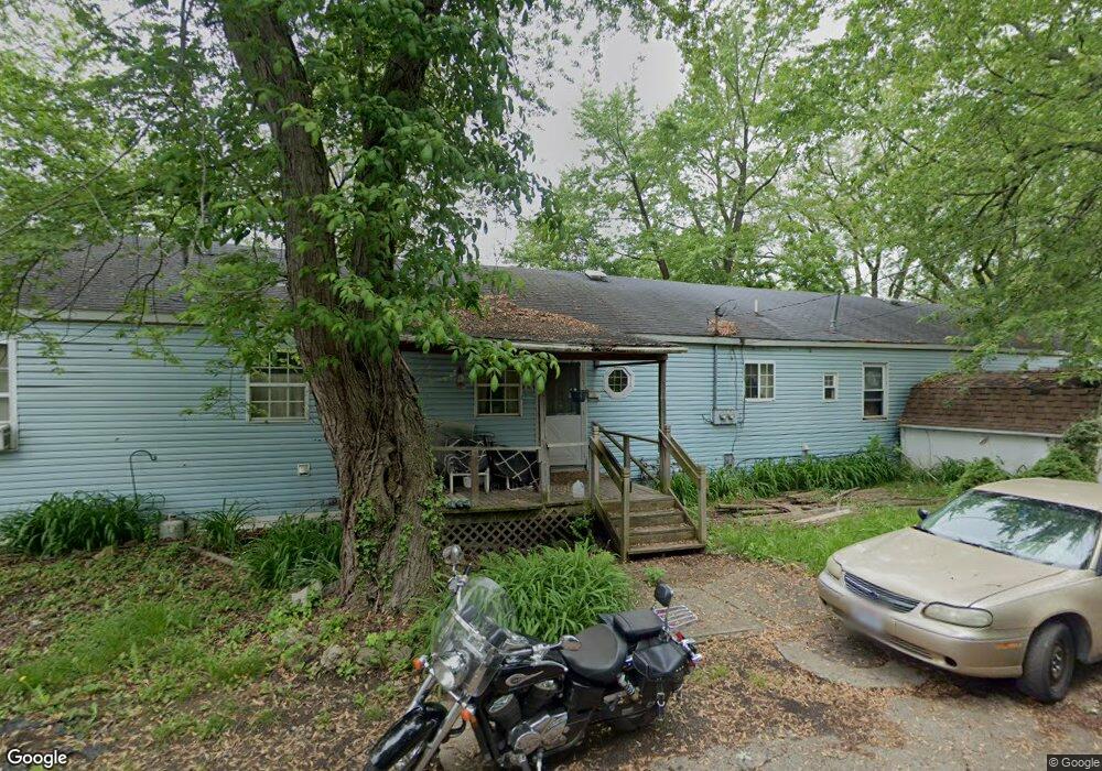
324 Hoover Dr Port Clinton, OH 43452
Estimated Value: $102,000 - $286,000
7
Beds
3
Baths
2,688
Sq Ft
$65/Sq Ft
Est. Value
About This Home
This home is located at 324 Hoover Dr, Port Clinton, OH 43452 and is currently estimated at $176,000, approximately $65 per square foot. 324 Hoover Dr is a home located in Ottawa County with nearby schools including Bataan Memorial Primary School, Bataan Memorial Intermediate School, and Port Clinton Middle School.
Ownership History
Date
Name
Owned For
Owner Type
Purchase Details
Closed on
Jan 30, 2003
Sold by
Sparks Et Al David Lee
Bought by
Sparks Bonnie
Current Estimated Value
Purchase Details
Closed on
Nov 12, 1992
Sold by
Phillips Otis F
Bought by
Phillips Otis F
Purchase Details
Closed on
Nov 6, 1992
Sold by
Phillips Otis F
Bought by
Phillips Otis F
Create a Home Valuation Report for This Property
The Home Valuation Report is an in-depth analysis detailing your home's value as well as a comparison with similar homes in the area
Home Values in the Area
Average Home Value in this Area
Purchase History
| Date | Buyer | Sale Price | Title Company |
|---|---|---|---|
| Sparks Bonnie | $46,900 | -- | |
| Phillips Otis F | -- | -- | |
| Phillips Otis F | -- | -- |
Source: Public Records
Tax History Compared to Growth
Tax History
| Year | Tax Paid | Tax Assessment Tax Assessment Total Assessment is a certain percentage of the fair market value that is determined by local assessors to be the total taxable value of land and additions on the property. | Land | Improvement |
|---|---|---|---|---|
| 2024 | $953 | $26,821 | $3,801 | $23,020 |
| 2023 | $953 | $19,583 | $2,534 | $17,049 |
| 2022 | $778 | $19,583 | $2,534 | $17,049 |
| 2021 | $778 | $19,580 | $2,530 | $17,050 |
| 2020 | $522 | $13,730 | $2,510 | $11,220 |
| 2019 | $517 | $13,730 | $2,510 | $11,220 |
| 2018 | $516 | $13,730 | $2,510 | $11,220 |
| 2017 | $467 | $12,240 | $2,510 | $9,730 |
| 2016 | $468 | $12,240 | $2,510 | $9,730 |
| 2015 | $470 | $12,240 | $2,510 | $9,730 |
| 2014 | $475 | $12,240 | $2,510 | $9,730 |
| 2013 | $475 | $12,240 | $2,510 | $9,730 |
Source: Public Records
Map
Nearby Homes
- 1254 W Fremont Rd
- 413 W 3rd St
- 326 W 4th St
- 612 Harrison St
- 229 W 4th St
- 1107 Grant St
- 1090 W Richey Rd
- 711 W Lakeshore Dr Unit 408C
- 224 Clinton Reef Dr Unit 224
- 208 Clinton Reef Dr Unit 208
- 172 Clinton Reef Dr
- 545 W Lakeshore Dr Unit 11
- 545 W Lakeshore Dr Unit 12
- 545 W Lakeshore Dr
- 545 W Lakeshore Dr Unit 10
- 545 W Lakeshore Dr Unit 9
- 304 Clinton Reef Dr
- 306 Clinton Reef Dr Unit 306
- 326 Clinton Reef Dr
- 721 Monroe St
- 0 Hoover Dr Unit 20236016
- 0 Hoover Dr Unit 4505529
- 330 Hoover Dr
- 0 Hoover Dr
- 321 Hoover Dr
- 314 Hoover Dr
- 315 Superior Ct
- 329 Hoover Dr
- 315 Hoover Dr
- 918 Maryland St
- 919 Virginia St
- 904 Maryland St
- 316 Superior Ct
- 907 Virginia St
- 332 Superior Ct
- 903 Virginia St
- 929 Virginia St
- 914 Virginia St
- 328 Polk Dr
- 911 Maryland St