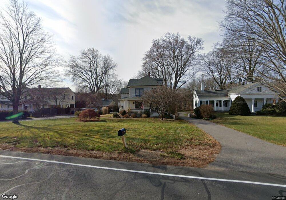
324 Route 87 Columbia, CT 06237
Estimated Value: $368,725 - $578,000
4
Beds
4
Baths
2,131
Sq Ft
$225/Sq Ft
Est. Value
About This Home
This home is located at 324 Route 87, Columbia, CT 06237 and is currently estimated at $478,931, approximately $224 per square foot. 324 Route 87 is a home located in Tolland County with nearby schools including Horace W. Porter School and Oak Grove Montessori School.
Ownership History
Date
Name
Owned For
Owner Type
Purchase Details
Closed on
Aug 17, 2006
Sold by
Furlong William and Furlong Norah
Bought by
Pires John and Pires Jennifer
Current Estimated Value
Home Financials for this Owner
Home Financials are based on the most recent Mortgage that was taken out on this home.
Original Mortgage
$256,000
Interest Rate
6.88%
Purchase Details
Closed on
May 1, 2001
Sold by
Scott Gary and Scott Cathy
Bought by
Furlong William and Furlong Morah
Purchase Details
Closed on
Sep 15, 1997
Sold by
Roser Donald and Roser Lisa
Bought by
Scott Gary and Scott Cathy
Create a Home Valuation Report for This Property
The Home Valuation Report is an in-depth analysis detailing your home's value as well as a comparison with similar homes in the area
Home Values in the Area
Average Home Value in this Area
Purchase History
| Date | Buyer | Sale Price | Title Company |
|---|---|---|---|
| Pires John | $320,000 | -- | |
| Furlong William | $221,000 | -- | |
| Scott Gary | $188,000 | -- |
Source: Public Records
Mortgage History
| Date | Status | Borrower | Loan Amount |
|---|---|---|---|
| Open | Scott Gary | $247,850 | |
| Closed | Scott Gary | $256,000 |
Source: Public Records
Tax History Compared to Growth
Tax History
| Year | Tax Paid | Tax Assessment Tax Assessment Total Assessment is a certain percentage of the fair market value that is determined by local assessors to be the total taxable value of land and additions on the property. | Land | Improvement |
|---|---|---|---|---|
| 2025 | $4,708 | $160,860 | $36,960 | $123,900 |
| 2024 | $4,523 | $160,860 | $36,960 | $123,900 |
| 2023 | $4,168 | $160,860 | $36,960 | $123,900 |
| 2022 | $4,161 | $160,860 | $36,960 | $123,900 |
| 2021 | $4,482 | $152,800 | $33,700 | $119,100 |
| 2020 | $4,482 | $152,800 | $33,700 | $119,100 |
| 2019 | $4,482 | $152,800 | $33,700 | $119,100 |
| 2018 | $4,482 | $152,800 | $33,700 | $119,100 |
| 2017 | $4,413 | $152,800 | $33,700 | $119,100 |
| 2016 | $3,932 | $143,300 | $32,700 | $110,600 |
| 2015 | $3,888 | $143,300 | $32,700 | $110,600 |
| 2014 | $3,888 | $143,300 | $32,700 | $110,600 |
Source: Public Records
Map
Nearby Homes
- 322 Route 87
- 326 Route 87 Unit A2
- 326 Route 87
- 326 Route 87 Unit 1 R
- 326 Route 87 Unit 1 F
- 326 Route 87 Unit 2 R
- 326 Route 87 Unit 2 A
- 326 Connecticut 87
- 320 Route 87
- 483 Connecticut 87
- 318 Route 87
- 283 Connecticut 66
- 287 Connecticut 66
- 0 Route 66 N Unit G486268
- 0 Route #66 S Unit E274251
- 330 Route 87
- 177 Connecticut 66
- 177 Route 66
- 117c Rt 66 Route E
- 329 Route 87