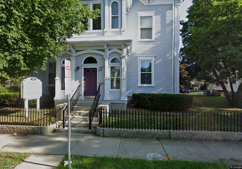
324 Union St New Bedford, MA 02740
Downtown New Bedford NeighborhoodEstimated Value: $510,205
2
Beds
4
Baths
4,192
Sq Ft
$122/Sq Ft
Est. Value
About This Home
This home is located at 324 Union St, New Bedford, MA 02740 and is currently estimated at $510,205, approximately $121 per square foot. 324 Union St is a home located in Bristol County with nearby schools including Sgt. William Carney Memorial Academy, Keith Middle School, and New Bedford High School.
Ownership History
Date
Name
Owned For
Owner Type
Purchase Details
Closed on
Jun 25, 2021
Sold by
Fubar Rt
Bought by
Dragonfly Rt
Current Estimated Value
Home Financials for this Owner
Home Financials are based on the most recent Mortgage that was taken out on this home.
Original Mortgage
$232,000
Outstanding Balance
$210,504
Interest Rate
2.9%
Mortgage Type
Purchase Money Mortgage
Estimated Equity
$299,701
Purchase Details
Closed on
Oct 22, 2008
Sold by
324 Union Street Rt and Russell David E
Bought by
Fubar Rt and Sykes David K
Home Financials for this Owner
Home Financials are based on the most recent Mortgage that was taken out on this home.
Original Mortgage
$287,000
Interest Rate
5.94%
Mortgage Type
Commercial
Purchase Details
Closed on
May 16, 2002
Sold by
Russell Peter S and Russell Michael
Bought by
Russell David E
Create a Home Valuation Report for This Property
The Home Valuation Report is an in-depth analysis detailing your home's value as well as a comparison with similar homes in the area
Home Values in the Area
Average Home Value in this Area
Purchase History
| Date | Buyer | Sale Price | Title Company |
|---|---|---|---|
| Dragonfly Rt | $370,000 | None Available | |
| Dragonfly Rt | $370,000 | None Available | |
| Fubar Rt | $315,000 | -- | |
| Fubar Rt | $315,000 | -- | |
| Russell David E | $126,000 | -- |
Source: Public Records
Mortgage History
| Date | Status | Borrower | Loan Amount |
|---|---|---|---|
| Open | Dragonfly Rt | $232,000 | |
| Closed | Dragonfly Rt | $232,000 | |
| Previous Owner | Russell David E | $287,000 | |
| Previous Owner | Russell David E | $16,500 |
Source: Public Records
Tax History Compared to Growth
Tax History
| Year | Tax Paid | Tax Assessment Tax Assessment Total Assessment is a certain percentage of the fair market value that is determined by local assessors to be the total taxable value of land and additions on the property. | Land | Improvement |
|---|---|---|---|---|
| 2025 | -- | $535,700 | $140,500 | $395,200 |
| 2024 | -- | $495,500 | $129,200 | $366,300 |
| 2023 | $0 | $395,900 | $107,700 | $288,200 |
| 2022 | $0 | $341,500 | $103,000 | $238,500 |
| 2021 | $0 | $301,200 | $98,300 | $202,900 |
| 2020 | $8,188 | $295,700 | $98,300 | $197,400 |
| 2019 | $7,887 | $302,300 | $98,300 | $204,000 |
| 2018 | $0 | $288,000 | $93,600 | $194,400 |
| 2017 | -- | $288,000 | $93,600 | $194,400 |
| 2016 | -- | $291,500 | $93,600 | $197,900 |
| 2015 | -- | $291,500 | $93,600 | $197,900 |
| 2014 | -- | $301,100 | $93,600 | $207,500 |
Source: Public Records
Map
Nearby Homes
- 330 Union St
- 11 N Orchard St
- 321 Union St Unit 6
- 321 Union St
- 321 Union St Unit 12
- 334 Union St
- 334 Union St Unit 2
- 319A Union St Unit A
- 319 Union St Unit 1
- 319A Union St Unit B
- 319A Union St
- 319 Union St Unit A
- 30 Arnold Place
- 0 Orchard St Unit 72164533
- 7 N Orchard St
- 2 N Orchard St
- 4 N Orchard St
- 29 Arnold Place
- 337 Union St
- 35 Orchard St