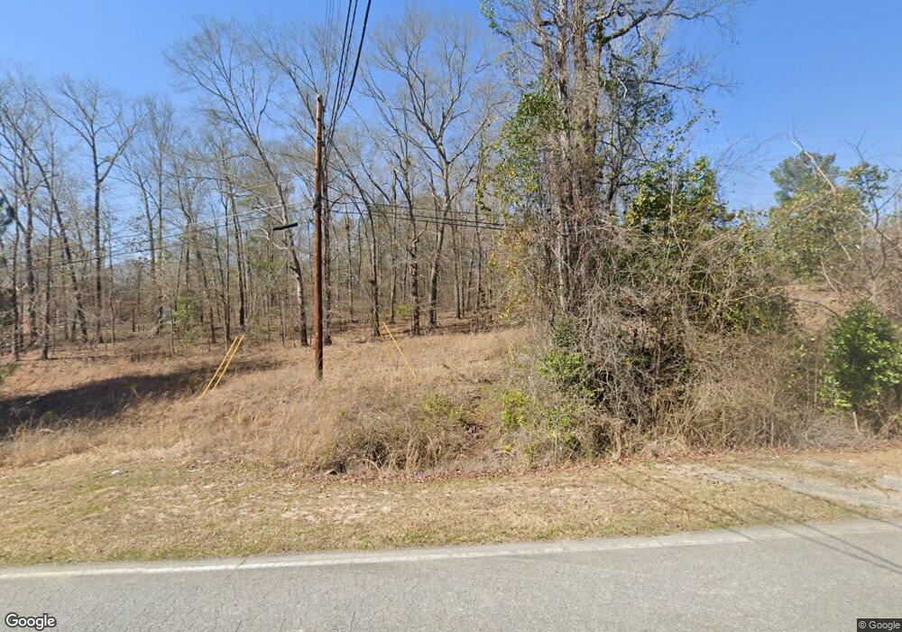
3240 Franklinton Rd Dry Branch, GA 31020
Estimated Value: $85,000 - $261,384
2
Beds
2
Baths
1,168
Sq Ft
$142/Sq Ft
Est. Value
About This Home
This home is located at 3240 Franklinton Rd, Dry Branch, GA 31020 and is currently estimated at $165,596, approximately $141 per square foot. 3240 Franklinton Rd is a home located in Bibb County with nearby schools including Bernd Elementary School, Appling Middle School, and Northeast High School.
Ownership History
Date
Name
Owned For
Owner Type
Purchase Details
Closed on
Aug 19, 2020
Sold by
Lee Brandon Durand
Bought by
Mitchell Edward Wayne
Current Estimated Value
Purchase Details
Closed on
Mar 12, 2013
Sold by
Lee June Laverne Estate
Bought by
Mitchell Edward W
Purchase Details
Closed on
May 25, 2001
Bought by
Mitchell Edward W
Purchase Details
Closed on
Apr 16, 1999
Purchase Details
Closed on
Mar 11, 1998
Create a Home Valuation Report for This Property
The Home Valuation Report is an in-depth analysis detailing your home's value as well as a comparison with similar homes in the area
Home Values in the Area
Average Home Value in this Area
Purchase History
| Date | Buyer | Sale Price | Title Company |
|---|---|---|---|
| Mitchell Edward Wayne | -- | None Available | |
| Mitchell Edward W | -- | -- | |
| Mitchell Edward W | $106,000 | -- | |
| -- | $18,500 | -- | |
| -- | $17,500 | -- |
Source: Public Records
Tax History Compared to Growth
Tax History
| Year | Tax Paid | Tax Assessment Tax Assessment Total Assessment is a certain percentage of the fair market value that is determined by local assessors to be the total taxable value of land and additions on the property. | Land | Improvement |
|---|---|---|---|---|
| 2025 | $1,860 | $82,671 | $13,701 | $68,970 |
| 2024 | $1,922 | $82,671 | $13,701 | $68,970 |
| 2023 | $2,241 | $82,671 | $13,701 | $68,970 |
| 2022 | $2,531 | $80,103 | $16,881 | $63,222 |
| 2021 | $2,778 | $80,103 | $16,881 | $63,222 |
| 2020 | $2,838 | $80,103 | $16,881 | $63,222 |
| 2019 | $2,862 | $80,103 | $16,881 | $63,222 |
| 2018 | $3,290 | $58,878 | $16,881 | $41,997 |
| 2017 | $1,944 | $58,878 | $16,881 | $41,997 |
| 2016 | $1,795 | $58,878 | $16,881 | $41,997 |
| 2015 | $2,541 | $58,878 | $16,881 | $41,997 |
| 2014 | $2,545 | $58,878 | $16,881 | $41,997 |
Source: Public Records
Map
Nearby Homes
- 2975 Frederick Dr
- 3741 Franklinton Rd
- 253 Apple Valley Rd
- 631 Crabapple Place
- 5503 Jeffersonville Rd
- 5151 Riggins Mill Rd
- 2766 Stanley Dr
- 2776 Stanley Dr
- 5757 Jeffersonville Rd
- Hwy 129
- 32 Knollwood Rd
- 0 Knollwood Rd Unit LotWP004
- 0 Knollwood Rd Unit 10495049
- 4462 Riggins Mill Rd
- 4400 Davis Rd
- 4509 Donnan Rd
- 4231 Donnan Rd
- 133 Randy Dr
- 1995 Crooms Dr
- 5055 Riggins Mill Rd
- 3260 Franklinton Rd
- 3200 Franklinton Rd
- 3280 Franklinton Rd
- 3300 Franklinton Rd
- 3160 Franklinton Rd
- 4490 Seville Rd
- 4480 Seville Rd
- 3400 Franklinton Rd
- 3380 Franklinton Rd
- 0 Seville Rd Unit 7185192
- 0 Seville Rd Unit 3206521
- 0 Seville Rd Unit 7305472
- 0 Seville Rd
- 4470 Seville Rd
- 3384 Franklinton Rd
- 4460 Seville Rd
- 4450 Seville Rd
- 1001 Brownston Cir
- 1005 Brownston Cir
- 1009 Brownston Cir
