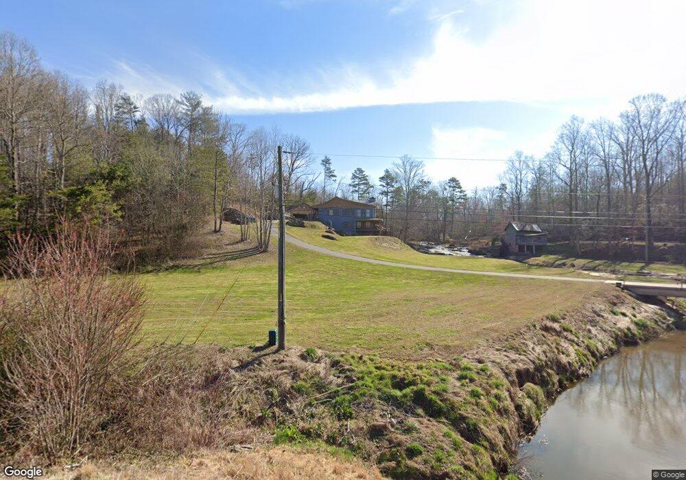
3240 Highway 197 Mount Airy, GA 30563
Estimated Value: $368,000 - $705,553
4
Beds
3
Baths
2,880
Sq Ft
$190/Sq Ft
Est. Value
About This Home
This home is located at 3240 Highway 197, Mount Airy, GA 30563 and is currently estimated at $547,138, approximately $189 per square foot. 3240 Highway 197 is a home located in Habersham County with nearby schools including Demorest Elementary School, Habersham Success Academy, and Wilbanks Middle School.
Ownership History
Date
Name
Owned For
Owner Type
Purchase Details
Closed on
Nov 20, 2023
Sold by
Glass David Harold
Bought by
Glass Roberta Nash
Current Estimated Value
Purchase Details
Closed on
Jun 20, 2023
Sold by
Glass Roberta Nash
Bought by
Glass Roberta Nash and Glass David Harold
Purchase Details
Closed on
Sep 13, 2016
Sold by
Nash Edith D
Bought by
Glass Roberta Nash
Purchase Details
Closed on
Jul 1, 2014
Sold by
Robert Nash James
Bought by
Nash Edith Davis
Create a Home Valuation Report for This Property
The Home Valuation Report is an in-depth analysis detailing your home's value as well as a comparison with similar homes in the area
Home Values in the Area
Average Home Value in this Area
Purchase History
| Date | Buyer | Sale Price | Title Company |
|---|---|---|---|
| Glass Roberta Nash | -- | -- | |
| Glass Roberta Nash | -- | -- | |
| Glass Roberta Nash | -- | -- | |
| Nash Edith Davis | -- | -- |
Source: Public Records
Tax History Compared to Growth
Tax History
| Year | Tax Paid | Tax Assessment Tax Assessment Total Assessment is a certain percentage of the fair market value that is determined by local assessors to be the total taxable value of land and additions on the property. | Land | Improvement |
|---|---|---|---|---|
| 2025 | $3,898 | $289,294 | $80,422 | $208,872 |
| 2024 | -- | $270,576 | $66,600 | $203,976 |
| 2023 | $3,092 | $234,932 | $66,600 | $168,332 |
| 2022 | $3,507 | $214,552 | $70,640 | $143,912 |
| 2021 | $3,317 | $198,692 | $70,640 | $128,052 |
| 2020 | $3,180 | $180,456 | $70,640 | $109,816 |
| 2019 | $3,180 | $180,456 | $70,640 | $109,816 |
| 2018 | $2,786 | $167,612 | $70,640 | $96,972 |
| 2017 | $2,667 | $158,804 | $70,640 | $88,164 |
| 2016 | $3,874 | $371,420 | $60,404 | $88,164 |
| 2015 | $3,828 | $371,420 | $60,404 | $88,164 |
| 2014 | $3,833 | $364,990 | $60,404 | $85,592 |
| 2013 | -- | $145,996 | $60,404 | $85,592 |
Source: Public Records
Map
Nearby Homes
- 2240 Hazel Creek Rd
- 787 Ansley Rd
- 309 Morning Star Ln
- 161 Wayward Winds Dr
- 676 Sweetgrass Dr
- 799 Sweetgrass Dr
- 136 Sweetgrass Dr
- 815 Sweetgrass Ct
- 865 Sweetgrass Ct
- 222 N Mize Rd
- 0 N Highway 365 Unit 10006830
- 144 Rolling Ridge Rd
- 877 Sweetgrass Ct
- 1126 Sydney Ln
- 1132 Sydney Ln
- 0 Gladston Rd
- 0 Sweetgrass Dr Unit 7658113
- 0 Sweetgrass Dr Unit 7658111
- 204 Linwood Dr
- 1344 Blue Grass Ct
- 3240 Highway 197
- 3240 S Sthwy 197
- 151 Evergreen Trail
- 3124 S St Highway 197
- 3124 Highway 197
- 173 Cedar Ln
- 3039 Highway 197
- 190 Evergreen Trail
- 154 Evergreen Trail
- 133 Cedar Ln
- 3178 Highway 197
- 115 Evergreen Trail
- 2832 Highway 197
- 145 Evergreen Trail
- 790 Ansley Rd
- 205 Cedar Ln
- 174 Cedar Ln
- 2260 Hazel Creek Rd
- 2336 Hazel Creek Rd
- 0 Cedar Ln Unit 7098469