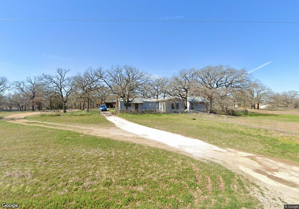
3240 Tin Top Rd Weatherford, TX 76087
Estimated Value: $294,100 - $424,000
--
Bed
--
Bath
1,212
Sq Ft
$295/Sq Ft
Est. Value
About This Home
This home is located at 3240 Tin Top Rd, Weatherford, TX 76087 and is currently estimated at $357,775, approximately $295 per square foot. 3240 Tin Top Rd is a home located in Parker County with nearby schools including Curtis Elementary School, Hall Middle School, and Weatherford High School.
Ownership History
Date
Name
Owned For
Owner Type
Purchase Details
Closed on
Sep 21, 2018
Sold by
Harwell Jimmy W and Weatherford Independent School
Bought by
Doh Oil Co
Current Estimated Value
Purchase Details
Closed on
Nov 15, 2006
Sold by
Stephens Vicki Leah
Bought by
Harwell Jimmy Walt
Purchase Details
Closed on
Nov 14, 2006
Sold by
Harwell Sandra Marilene
Bought by
Harwell Jimmy Walt
Purchase Details
Closed on
Nov 10, 2006
Sold by
Benitez Cristi Lynn
Bought by
Harwell Jimmy Walt
Purchase Details
Closed on
Jan 1, 1901
Bought by
Harwell Jimmy W
Create a Home Valuation Report for This Property
The Home Valuation Report is an in-depth analysis detailing your home's value as well as a comparison with similar homes in the area
Home Values in the Area
Average Home Value in this Area
Purchase History
| Date | Buyer | Sale Price | Title Company |
|---|---|---|---|
| Doh Oil Co | $2,000 | None Available | |
| Harwell Jimmy Walt | -- | None Available | |
| Harwell Jimmy Walt | -- | None Available | |
| Harwell Jimmy Walt | -- | None Available | |
| Harwell Jimmy W | -- | -- |
Source: Public Records
Tax History Compared to Growth
Tax History
| Year | Tax Paid | Tax Assessment Tax Assessment Total Assessment is a certain percentage of the fair market value that is determined by local assessors to be the total taxable value of land and additions on the property. | Land | Improvement |
|---|---|---|---|---|
| 2025 | $2,739 | $254,899 | -- | -- |
| 2024 | $2,739 | $231,726 | -- | -- |
| 2023 | $2,739 | $210,660 | $0 | $0 |
| 2022 | $3,566 | $191,510 | $122,830 | $68,680 |
| 2021 | $3,670 | $191,510 | $122,830 | $68,680 |
| 2020 | $3,352 | $165,280 | $108,140 | $57,140 |
| 2019 | $3,313 | $165,280 | $108,140 | $57,140 |
| 2018 | $3,027 | $164,290 | $103,950 | $60,340 |
| 2017 | $2,808 | $164,290 | $103,950 | $60,340 |
| 2016 | $2,553 | $115,020 | $67,570 | $47,450 |
| 2015 | $2,150 | $115,020 | $67,570 | $47,450 |
| 2014 | $1,973 | $107,770 | $67,570 | $40,200 |
Source: Public Records
Map
Nearby Homes
- 3147 Tin Top Rd
- 8135 Floor Plan at Old Oaks
- 8136 Floor Plan at Old Oaks
- 8137 Floor Plan at Old Oaks
- 8130 Floor Plan at Old Oaks
- 8125 Floor Plan at Old Oaks
- 8108 EP Floor Plan at Old Oaks
- 8126 Floor Plan at Old Oaks
- 8113 Floor Plan at Old Oaks
- 8121 Floor Plan at Old Oaks
- 269 Harmony Rd
- 1009 Old Oaks Ct
- 1041 Old Oaks Ct
- 1008 Old Oaks Ct
- 130 Sunburst Ct
- 325 Kelly Brook Cir
- 566 Harmony Rd
- TBD Harmony Rd
- 622 Harmony Cir
- TBD Shanes Ln
- 3270 Tin Top Rd
- 3226 Tin Top Rd
- 3231 Tin Top Rd
- 153 Harmony Rd
- 201 Harmony Spur
- 161 Harmony Rd
- 3220 Tin Top Rd
- 165 Harmony Rd
- 205 Harmony Rd
- 154 Harmony Rd
- 3320 Tin Top Rd
- 156 Harmony Rd
- 160 Harmony Rd
- 202 Harmony Rd
- 3208 Tin Top Rd
- 210 Harmony Rd
- 104 Harmony Cir
- TBD Harmony Spur
- 201 Leea Ln
- 132 Harmony Spur