3242 E 600 Locust Grove, OK 74352
Estimated Value: $168,000 - $457,000
3
Beds
2
Baths
1,769
Sq Ft
$151/Sq Ft
Est. Value
About This Home
This home is located at 3242 E 600, Locust Grove, OK 74352 and is currently estimated at $267,967, approximately $151 per square foot. 3242 E 600 is a home with nearby schools including Locust Grove Early Lrning Center, Locust Grove Upper Elementary School, and Locust Grove Middle School.
Ownership History
Date
Name
Owned For
Owner Type
Purchase Details
Closed on
May 31, 2023
Sold by
Barnes Billy
Bought by
Coverdell Brady B Keith and Coverdell Michelle Denise
Current Estimated Value
Purchase Details
Closed on
Mar 16, 2023
Sold by
Walker Linda Lou Wagner and Walker Terry L
Bought by
Rites Billy
Purchase Details
Closed on
Sep 22, 2008
Sold by
Wagner Loren Ernest and Walker Linda Lou
Bought by
Wagner Linda Lou
Purchase Details
Closed on
Sep 6, 2008
Sold by
Vann David and Vann Robert
Bought by
Walker Linda Lou
Create a Home Valuation Report for This Property
The Home Valuation Report is an in-depth analysis detailing your home's value as well as a comparison with similar homes in the area
Home Values in the Area
Average Home Value in this Area
Purchase History
| Date | Buyer | Sale Price | Title Company |
|---|---|---|---|
| Coverdell Brady B Keith | $155,000 | None Listed On Document | |
| Coverdell Brady B Keith | $155,000 | None Listed On Document | |
| Rites Billy | $115,000 | -- | |
| Wagner Linda Lou | -- | None Available | |
| Walker Linda Lou | -- | None Available |
Source: Public Records
Tax History Compared to Growth
Tax History
| Year | Tax Paid | Tax Assessment Tax Assessment Total Assessment is a certain percentage of the fair market value that is determined by local assessors to be the total taxable value of land and additions on the property. | Land | Improvement |
|---|---|---|---|---|
| 2025 | $2,214 | $24,207 | $6,160 | $18,047 |
| 2024 | $2,214 | $23,801 | $6,160 | $17,641 |
| 2023 | $2,214 | $7,454 | $1,693 | $5,761 |
| 2022 | $563 | $7,238 | $1,635 | $5,603 |
| 2021 | $555 | $7,026 | $1,581 | $5,445 |
| 2020 | $545 | $6,823 | $1,547 | $5,276 |
| 2019 | $526 | $6,623 | $1,502 | $5,121 |
| 2018 | $519 | $6,431 | $1,459 | $4,972 |
| 2017 | $490 | $6,124 | $1,389 | $4,735 |
| 2016 | $461 | $5,946 | $1,349 | $4,597 |
| 2015 | $460 | $5,773 | $1,310 | $4,463 |
| 2014 | $443 | $5,604 | $1,392 | $4,212 |
Source: Public Records
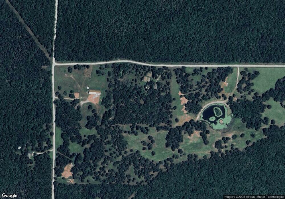
Map
Nearby Homes
- 0 S 043 Rd Unit 2512653
- 1819 E 600
- 381 S 437
- 58 Oak
- 0 S 4409 Rd
- 0 Rural Route Unit 25-1842
- 14209 S 439
- 10171 U S Highway 412
- 6164 E 578
- 0 E 610 Rd Unit 2542638
- 7862 S 436
- 207 Orange St
- 0 Orange St
- 0 Peach St
- 12754 S 442 Rd
- 00 Hill St
- 815 S Cherokee St
- 715 S Cherokee St
- 608 S Cherokee St
- 310 W Harrison