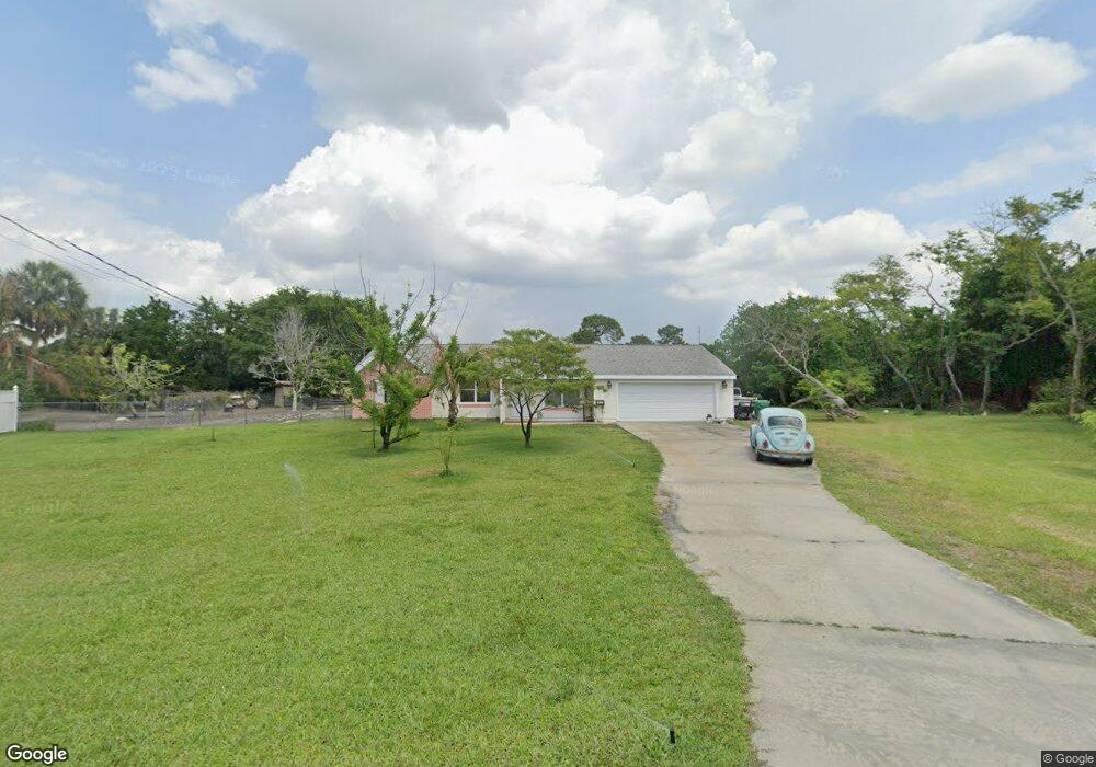
3244 Depew Ave Port Charlotte, FL 33952
Estimated Value: $275,000 - $351,993
3
Beds
2
Baths
1,517
Sq Ft
$201/Sq Ft
Est. Value
About This Home
This home is located at 3244 Depew Ave, Port Charlotte, FL 33952 and is currently estimated at $304,748, approximately $200 per square foot. 3244 Depew Ave is a home located in Charlotte County with nearby schools including Peace River Elementary School, Port Charlotte Middle School, and Charlotte High School.
Ownership History
Date
Name
Owned For
Owner Type
Purchase Details
Closed on
Oct 24, 2016
Sold by
Lotz Vickie M and Bearden Benjamin
Bought by
Hill Surendarani and Hill Jeffrey A
Current Estimated Value
Purchase Details
Closed on
Nov 15, 2005
Sold by
Lewis Chester J and Lewis Nancy L
Bought by
Lotz Vickie M and Bearden Benjamin
Home Financials for this Owner
Home Financials are based on the most recent Mortgage that was taken out on this home.
Original Mortgage
$140,000
Interest Rate
5.75%
Mortgage Type
Purchase Money Mortgage
Create a Home Valuation Report for This Property
The Home Valuation Report is an in-depth analysis detailing your home's value as well as a comparison with similar homes in the area
Home Values in the Area
Average Home Value in this Area
Purchase History
| Date | Buyer | Sale Price | Title Company |
|---|---|---|---|
| Hill Surendarani | $149,000 | First International Title In | |
| Lotz Vickie M | $218,000 | Executive Title Ins Svcs Inc |
Source: Public Records
Mortgage History
| Date | Status | Borrower | Loan Amount |
|---|---|---|---|
| Previous Owner | Lotz Vickie M | $140,000 |
Source: Public Records
Tax History Compared to Growth
Tax History
| Year | Tax Paid | Tax Assessment Tax Assessment Total Assessment is a certain percentage of the fair market value that is determined by local assessors to be the total taxable value of land and additions on the property. | Land | Improvement |
|---|---|---|---|---|
| 2023 | $4,554 | $168,101 | $0 | $0 |
| 2022 | $4,504 | $265,298 | $108,747 | $156,551 |
| 2021 | $3,777 | $162,974 | $54,374 | $108,600 |
| 2020 | $2,847 | $126,237 | $28,212 | $98,025 |
| 2019 | $2,782 | $124,629 | $28,212 | $96,417 |
| 2018 | $2,537 | $118,535 | $25,203 | $93,332 |
| 2017 | $2,458 | $112,175 | $21,065 | $91,110 |
| 2016 | $2,356 | $96,708 | $0 | $0 |
| 2015 | $2,159 | $87,916 | $0 | $0 |
| 2014 | $1,939 | $79,924 | $0 | $0 |
Source: Public Records
Map
Nearby Homes
- 3255 Geneva St
- 22158 Riverhead Ave
- 3335 Brooklyn Ave
- 22237 Lockport Ave
- 3246 Oswego St
- 22220 & 22228 Lockport Ave
- 3295 Brooklyn Ave
- 22271 Morris Ave
- 22357 Nyack Ave
- 3122 Scranton St
- 3303 Jamestown St
- 22381 Nyack Ave
- 22242 Elmira Blvd
- 3404 Depew Ave
- 22267 Elmira Blvd
- 3090 Lockwood St
- 22275 Elmira Blvd
- 3585 Brooklyn Ave
- 22065 Malone Ave
- 22201 Olean Blvd
- 3236 Depew Ave
- 3252 Depew Ave
- 3245 Depew Ave
- 22207 Mamaroneck Ave
- 3260 Depew Ave
- 22219 Mamaroneck Ave
- 22199 Mamaroneck Ave
- 22191 Mamaroneck Ave
- 3220 Depew Ave
- 3265 Depew Ave
- 3200 Tarytown St
- 3399 Brooklyn Ave
- 3268 Depew Ave
- 22183 Mamaroneck Ave
- 3212 Depew Ave
- 3246 Geneva St
- 3415 Brooklyn Ave
- 3367 Brooklyn Ave
- 22175 Mamaroneck Ave
- 3239 Geneva St