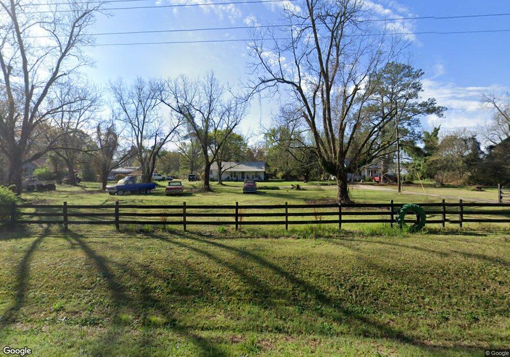
3244 Wire Rd Dearing, GA 30808
Estimated Value: $237,000 - $983,268
3
Beds
1
Bath
1,392
Sq Ft
$438/Sq Ft
Est. Value
About This Home
This home is located at 3244 Wire Rd, Dearing, GA 30808 and is currently estimated at $610,134, approximately $438 per square foot. 3244 Wire Rd is a home with nearby schools including Thomson High School.
Ownership History
Date
Name
Owned For
Owner Type
Purchase Details
Closed on
Oct 31, 2019
Sold by
Usry David R
Bought by
Usry Daniel W and Usry Theresa
Current Estimated Value
Purchase Details
Closed on
Nov 11, 2003
Sold by
Usry Kathleen
Bought by
Usry Daniel W and Usry David R
Purchase Details
Closed on
Apr 4, 2002
Sold by
Usry Kathleen and Usry Evelyn
Bought by
Usry Daniel W
Purchase Details
Closed on
Mar 6, 2002
Sold by
Wukela Jaclyn U
Bought by
Usry Daniel W and Usry David R
Purchase Details
Closed on
Feb 14, 2002
Sold by
Wukela Jaclyn U
Bought by
Usry Daniel W and Usry David R
Purchase Details
Closed on
Nov 21, 1988
Bought by
Usry Ned Etal
Create a Home Valuation Report for This Property
The Home Valuation Report is an in-depth analysis detailing your home's value as well as a comparison with similar homes in the area
Purchase History
| Date | Buyer | Sale Price | Title Company |
|---|---|---|---|
| Usry Daniel W | -- | -- | |
| Usry Daniel W | -- | -- | |
| Usry Daniel W | -- | -- | |
| Usry Daniel W | $275,000 | -- | |
| Usry Daniel W | -- | -- | |
| Usry Daniel W | -- | -- | |
| Usry Ned Etal | -- | -- |
Source: Public Records
Tax History
| Year | Tax Paid | Tax Assessment Tax Assessment Total Assessment is a certain percentage of the fair market value that is determined by local assessors to be the total taxable value of land and additions on the property. | Land | Improvement |
|---|---|---|---|---|
| 2025 | $2,884 | $309,528 | $265,047 | $44,481 |
| 2024 | $2,884 | $292,802 | $250,194 | $42,608 |
| 2023 | $2,840 | $260,765 | $219,932 | $40,833 |
| 2022 | $2,846 | $258,753 | $219,932 | $38,821 |
| 2021 | $2,650 | $246,240 | $213,832 | $32,408 |
| 2020 | $2,033 | $262,922 | $246,789 | $16,133 |
| 2019 | $2,008 | $262,922 | $246,789 | $16,133 |
| 2018 | $1,962 | $262,922 | $246,789 | $16,133 |
| 2017 | $1,850 | $262,922 | $246,789 | $16,133 |
| 2016 | $1,808 | $262,922 | $246,789 | $16,133 |
| 2015 | $1,538 | $166,450 | $150,318 | $16,133 |
| 2014 | $1,541 | $166,452 | $150,319 | $16,133 |
| 2013 | -- | $176,242 | $150,319 | $25,923 |
Source: Public Records
Map
Nearby Homes
- 3786 Wire Rd
- 3796 Wire Rd
- 0 Mitchner Rd Unit 548843
- 789 George McDuffie Rd
- 3553 Gant Jackson Rd
- 1463 Lokey Dr
- 3619,3627, Bethany Ct
- 4327 Fish Hatchery Rd
- 1543 Wrens Hwy
- 3175 Old Augusta Rd
- 000 Wrens Hwy
- 3191 Old Augusta Rd
- 773 Moose Club Rd
- 1110 Boneville Rd
- 1110 Boneville Rd
- 0 Wrens Hwy Unit 10652460
- 0 Wrens Hwy Unit 549833
- 1086 Boneville Rd
- 1076 Boneville Rd
- 1451 Central Road Extension
Your Personal Tour Guide
Ask me questions while you tour the home.