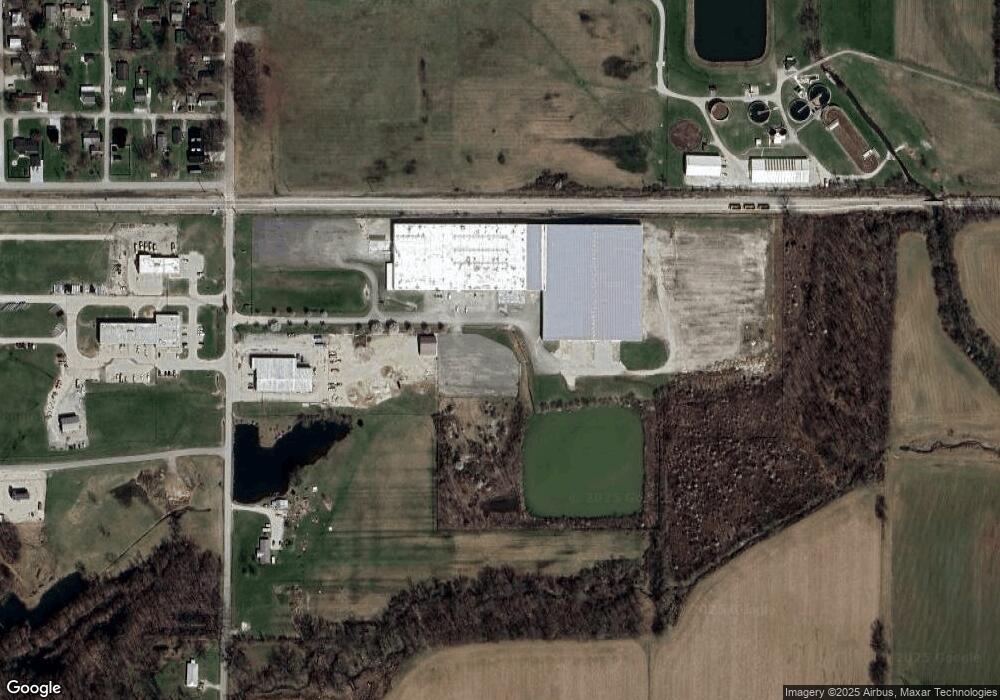
325 12th St SE Unit A Linton, IN 47441
--
Bed
--
Bath
44,795
Sq Ft
30.8
Acres
About This Home
This home is located at 325 12th St SE Unit A, Linton, IN 47441. 325 12th St SE Unit A is a home located in Greene County with nearby schools including Linton-Stockton Elementary School, Linton-Stockton Junior High School, and Linton-Stockton High School.
Ownership History
Date
Name
Owned For
Owner Type
Purchase Details
Closed on
Aug 31, 2021
Sold by
Linton Pub Llc
Bought by
325 12Th Linton Llc
Home Financials for this Owner
Home Financials are based on the most recent Mortgage that was taken out on this home.
Original Mortgage
$1,897,000
Interest Rate
2.7%
Mortgage Type
Commercial
Purchase Details
Closed on
May 13, 2011
Sold by
Bancorp Universal
Bought by
Green Creek Builders Llc
Purchase Details
Closed on
Jan 25, 2010
Sold by
Bloomfield State Bank
Bought by
Universal Bancorp
Purchase Details
Closed on
Jan 5, 2010
Sold by
Indiana Operations Llc
Bought by
Bloomfield State Bank
Create a Home Valuation Report for This Property
The Home Valuation Report is an in-depth analysis detailing your home's value as well as a comparison with similar homes in the area
Home Values in the Area
Average Home Value in this Area
Purchase History
| Date | Buyer | Sale Price | Title Company |
|---|---|---|---|
| 325 12Th Linton Llc | -- | Rooney Patrick M | |
| 325 12Th Linton Llc | $2,710,000 | None Available | |
| Green Creek Builders Llc | -- | None Available | |
| Universal Bancorp | -- | None Available | |
| Bloomfield State Bank | $1,800,000 | None Available |
Source: Public Records
Mortgage History
| Date | Status | Borrower | Loan Amount |
|---|---|---|---|
| Previous Owner | 325 12Th Linton Llc | $1,897,000 |
Source: Public Records
Tax History Compared to Growth
Tax History
| Year | Tax Paid | Tax Assessment Tax Assessment Total Assessment is a certain percentage of the fair market value that is determined by local assessors to be the total taxable value of land and additions on the property. | Land | Improvement |
|---|---|---|---|---|
| 2024 | $43,800 | $1,460,000 | $470,000 | $990,000 |
| 2023 | $43,485 | $1,449,100 | $470,000 | $979,100 |
| 2022 | $44,445 | $1,481,500 | $470,000 | $1,011,500 |
| 2021 | $40,308 | $1,343,200 | $470,000 | $873,200 |
| 2020 | $40,308 | $1,343,200 | $470,000 | $873,200 |
| 2019 | $40,308 | $1,343,200 | $470,000 | $873,200 |
| 2018 | $40,308 | $1,343,200 | $470,000 | $873,200 |
| 2017 | $39,549 | $1,317,900 | $470,000 | $847,900 |
| 2016 | $43,491 | $1,615,900 | $470,000 | $1,145,900 |
| 2014 | $47,229 | $1,573,900 | $470,000 | $1,103,900 |
| 2013 | -- | $1,657,300 | $470,000 | $1,187,300 |
Source: Public Records
Map
Nearby Homes