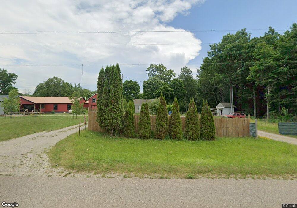
325 71st St South Haven, MI 49090
Estimated Value: $148,291 - $324,000
2
Beds
1
Bath
845
Sq Ft
$249/Sq Ft
Est. Value
About This Home
This home is located at 325 71st St, South Haven, MI 49090 and is currently estimated at $210,323, approximately $248 per square foot. 325 71st St is a home located in Allegan County with nearby schools including South Haven High School.
Ownership History
Date
Name
Owned For
Owner Type
Purchase Details
Closed on
Dec 19, 2005
Sold by
Hinga Edward C
Bought by
Thomas Charles B
Current Estimated Value
Home Financials for this Owner
Home Financials are based on the most recent Mortgage that was taken out on this home.
Original Mortgage
$65,075
Outstanding Balance
$41,482
Interest Rate
8.75%
Mortgage Type
Fannie Mae Freddie Mac
Estimated Equity
$168,841
Purchase Details
Closed on
Mar 14, 2000
Sold by
Holmes Jimmy L and Holmes Audrey
Bought by
Hanners Jimmy L
Create a Home Valuation Report for This Property
The Home Valuation Report is an in-depth analysis detailing your home's value as well as a comparison with similar homes in the area
Home Values in the Area
Average Home Value in this Area
Purchase History
| Date | Buyer | Sale Price | Title Company |
|---|---|---|---|
| Thomas Charles B | $68,500 | Metropolitan Title Company | |
| Hanners Jimmy L | -- | -- |
Source: Public Records
Mortgage History
| Date | Status | Borrower | Loan Amount |
|---|---|---|---|
| Open | Thomas Charles B | $65,075 |
Source: Public Records
Tax History Compared to Growth
Tax History
| Year | Tax Paid | Tax Assessment Tax Assessment Total Assessment is a certain percentage of the fair market value that is determined by local assessors to be the total taxable value of land and additions on the property. | Land | Improvement |
|---|---|---|---|---|
| 2025 | $800 | $58,500 | $16,100 | $42,400 |
| 2024 | -- | $49,500 | $5,800 | $43,700 |
| 2023 | -- | $40,600 | $5,800 | $34,800 |
| 2022 | $0 | $34,900 | $5,300 | $29,600 |
| 2021 | $355 | $37,000 | $5,300 | $31,700 |
| 2020 | $683 | $35,200 | $5,300 | $29,900 |
| 2019 | $0 | $31,500 | $5,300 | $26,200 |
| 2018 | $0 | $26,500 | $3,200 | $23,300 |
| 2017 | $0 | $29,400 | $3,200 | $26,200 |
| 2016 | $0 | $21,600 | $3,200 | $18,400 |
| 2015 | -- | $21,600 | $3,200 | $18,400 |
| 2014 | -- | $17,900 | $3,000 | $14,900 |
| 2013 | -- | $21,400 | $3,500 | $17,900 |
Source: Public Records
Map
Nearby Homes
- 7251 Beverly Dr
- 7263 Beverly Dr
- 0 V L MacBeth
- 7230 Maple St
- 4490 103rd Ave
- 7241 A St
- 475 Lakeshore Dr
- 500 Blue Star Hwy Unit 21 Acres
- 02 Hawks Nest Dr
- 00 Hawks Nest Dr
- VL Beachview Dr
- 7368 Beachview Dr
- 7364 Beachview Dr
- VL Highfield Beach Dr Unit 43
- VL Highfield Beach Dr Unit Lot 6
- 7146 Lakeview Ave
- V/L Miami Ave
- V/L Miami Ave Unit Lots 21-24
- 000 Miami Ave
- 124 68th St