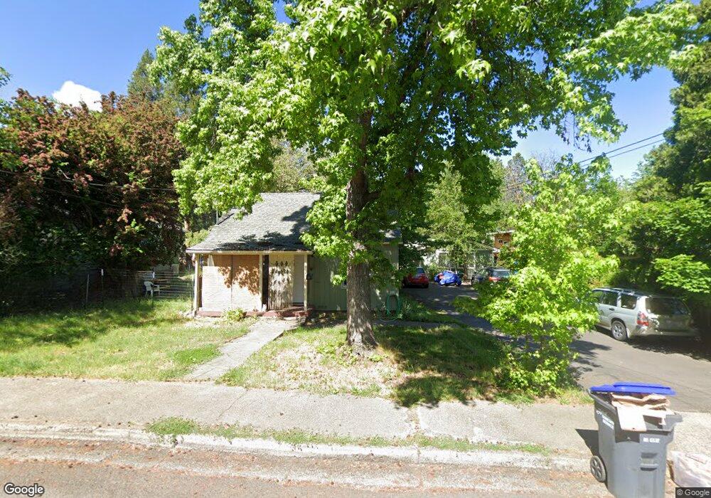
325 Avery St Ashland, OR 97520
Central Ashland NeighborhoodEstimated Value: $486,951 - $743,000
5
Beds
4
Baths
2,224
Sq Ft
$274/Sq Ft
Est. Value
About This Home
This home is located at 325 Avery St, Ashland, OR 97520 and is currently estimated at $609,738, approximately $274 per square foot. 325 Avery St is a home located in Jackson County with nearby schools including Walker Elementary School, Ashland Middle School, and Ashland High School.
Ownership History
Date
Name
Owned For
Owner Type
Purchase Details
Closed on
Feb 11, 2002
Sold by
Cessnun Sherry Jean and Taylor Marvin Dale
Bought by
Hill Adrienne J
Current Estimated Value
Home Financials for this Owner
Home Financials are based on the most recent Mortgage that was taken out on this home.
Original Mortgage
$161,100
Outstanding Balance
$67,036
Interest Rate
7.15%
Estimated Equity
$542,702
Create a Home Valuation Report for This Property
The Home Valuation Report is an in-depth analysis detailing your home's value as well as a comparison with similar homes in the area
Home Values in the Area
Average Home Value in this Area
Purchase History
| Date | Buyer | Sale Price | Title Company |
|---|---|---|---|
| Hill Adrienne J | $179,000 | Jackson County Title |
Source: Public Records
Mortgage History
| Date | Status | Borrower | Loan Amount |
|---|---|---|---|
| Open | Hill Adrienne J | $161,100 |
Source: Public Records
Tax History Compared to Growth
Tax History
| Year | Tax Paid | Tax Assessment Tax Assessment Total Assessment is a certain percentage of the fair market value that is determined by local assessors to be the total taxable value of land and additions on the property. | Land | Improvement |
|---|---|---|---|---|
| 2025 | $6,469 | $417,240 | $183,560 | $233,680 |
| 2024 | $6,469 | $405,090 | $178,200 | $226,890 |
| 2023 | $6,258 | $393,300 | $173,020 | $220,280 |
| 2022 | $6,058 | $393,300 | $173,020 | $220,280 |
| 2021 | $5,851 | $381,850 | $167,980 | $213,870 |
| 2020 | $5,687 | $370,730 | $163,090 | $207,640 |
| 2019 | $5,597 | $349,460 | $153,750 | $195,710 |
| 2018 | $5,288 | $339,290 | $149,280 | $190,010 |
| 2017 | $5,249 | $339,290 | $149,280 | $190,010 |
| 2016 | $5,054 | $319,820 | $140,710 | $179,110 |
| 2015 | $4,859 | $319,820 | $140,710 | $179,110 |
| 2014 | $4,512 | $301,470 | $132,650 | $168,820 |
Source: Public Records
Map
Nearby Homes
- 1372 Iowa St
- 1245 Iowa St Unit 7
- 303 Palm Ave
- 0 Oregon 66 Unit 220203024
- 128 S Mountain Ave
- 32 Lincoln St
- 496 Beach St
- 1040 E Main St
- 2082 E Main St
- 753 Siskiyou Blvd
- 704 Elkader St
- 811 Iowa St
- 770 Iowa St
- 124 Morton St
- 605 Liberty St
- 300 Harrison St
- 759 S Mountain Ave
- 211 Normal Ave
- 681 Liberty St
- 1259 Hagen Way