325 Beach Dr Oakland, MI 48363
Estimated Value: $245,970 - $353,000
3
Beds
2
Baths
1,367
Sq Ft
$204/Sq Ft
Est. Value
About This Home
This home is located at 325 Beach Dr, Oakland, MI 48363 and is currently estimated at $278,493, approximately $203 per square foot. 325 Beach Dr is a home located in Oakland County with nearby schools including Hamilton Parsons Elementary School.
Ownership History
Date
Name
Owned For
Owner Type
Purchase Details
Closed on
Oct 15, 2020
Sold by
Breckon Alyssa and Estate Of Raymond W Johnston
Bought by
Smith Cynthia
Current Estimated Value
Purchase Details
Closed on
Jun 26, 2007
Sold by
Conger Robert F and Weymouth Conger Betty J
Bought by
Johnston Raymond W
Home Financials for this Owner
Home Financials are based on the most recent Mortgage that was taken out on this home.
Original Mortgage
$117,375
Interest Rate
6.26%
Mortgage Type
Purchase Money Mortgage
Purchase Details
Closed on
Mar 13, 2000
Sold by
Coyle Joseph R
Bought by
Conger Robert F
Home Financials for this Owner
Home Financials are based on the most recent Mortgage that was taken out on this home.
Original Mortgage
$92,000
Interest Rate
8.39%
Create a Home Valuation Report for This Property
The Home Valuation Report is an in-depth analysis detailing your home's value as well as a comparison with similar homes in the area
Home Values in the Area
Average Home Value in this Area
Purchase History
| Date | Buyer | Sale Price | Title Company |
|---|---|---|---|
| Smith Cynthia | $90,000 | Sterling Title Agency | |
| Johnston Raymond W | $156,500 | Stewart Title | |
| Conger Robert F | $115,000 | -- |
Source: Public Records
Mortgage History
| Date | Status | Borrower | Loan Amount |
|---|---|---|---|
| Previous Owner | Johnston Raymond W | $117,375 | |
| Previous Owner | Conger Robert F | $92,000 |
Source: Public Records
Tax History
| Year | Tax Paid | Tax Assessment Tax Assessment Total Assessment is a certain percentage of the fair market value that is determined by local assessors to be the total taxable value of land and additions on the property. | Land | Improvement |
|---|---|---|---|---|
| 2025 | $2,069 | $87,300 | $0 | $0 |
| 2024 | $1,620 | $59,990 | $0 | $0 |
| 2023 | $1,595 | $59,380 | $0 | $0 |
| 2022 | $1,949 | $57,880 | $0 | $0 |
| 2021 | $2,829 | $53,500 | $0 | $0 |
| 2020 | $1,215 | $50,340 | $0 | $0 |
| 2019 | $1,348 | $49,160 | $0 | $0 |
| 2018 | $1,327 | $46,980 | $0 | $0 |
| 2017 | $1,295 | $46,340 | $0 | $0 |
| 2016 | $1,301 | $45,850 | $0 | $0 |
| 2015 | -- | $43,700 | $0 | $0 |
| 2014 | -- | $38,880 | $0 | $0 |
| 2011 | -- | $33,330 | $0 | $0 |
Source: Public Records
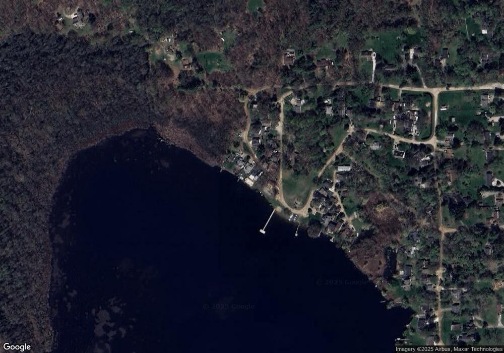
Map
Nearby Homes
- 400 E Romeo Rd
- 65 Woodside Ln
- 270 N Rochester Rd
- 0000 Rush
- 11.01 Acres Vacant L Knights Bridge
- 2.05 Acres VL - Knights Bridge
- 4.23 Acres VL - Knights Bridge
- 2.02 Acres VL - Knights Bridge
- 000 Knights Bridge
- 1028 Rochawies Dr
- 1111 Rush Rd
- 425 Elm Ct
- 5 Rochawies Dr
- 0000 Round Lake Ln
- 1644 Vista Dr
- 1812 Vista Dr
- 1583 Vista Dr
- 1792 Vista Dr
- 2453 Pebble Beach Dr
- 1637 Vista Dr
Your Personal Tour Guide
Ask me questions while you tour the home.